520 Scott Rd Oakham, MA 01068
Estimated Value: $651,000 - $1,024,000
3
Beds
4
Baths
3,354
Sq Ft
$248/Sq Ft
Est. Value
About This Home
This home is located at 520 Scott Rd, Oakham, MA 01068 and is currently estimated at $830,691, approximately $247 per square foot. 520 Scott Rd is a home located in Worcester County with nearby schools including Quabbin Regional Middle School and Quabbin Regional High School.
Ownership History
Date
Name
Owned For
Owner Type
Purchase Details
Closed on
Nov 4, 2003
Sold by
Sachs Marc S and Sachs Robin A
Bought by
Mass Electric Co
Current Estimated Value
Purchase Details
Closed on
Jul 24, 2003
Sold by
Robin Rt
Bought by
Sachs Marc S and Sachs Robin A
Home Financials for this Owner
Home Financials are based on the most recent Mortgage that was taken out on this home.
Original Mortgage
$492,800
Interest Rate
5.27%
Create a Home Valuation Report for This Property
The Home Valuation Report is an in-depth analysis detailing your home's value as well as a comparison with similar homes in the area
Home Values in the Area
Average Home Value in this Area
Purchase History
| Date | Buyer | Sale Price | Title Company |
|---|---|---|---|
| Mass Electric Co | -- | -- | |
| Sachs Marc S | -- | -- |
Source: Public Records
Mortgage History
| Date | Status | Borrower | Loan Amount |
|---|---|---|---|
| Previous Owner | Sachs Marc S | $492,800 |
Source: Public Records
Tax History Compared to Growth
Tax History
| Year | Tax Paid | Tax Assessment Tax Assessment Total Assessment is a certain percentage of the fair market value that is determined by local assessors to be the total taxable value of land and additions on the property. | Land | Improvement |
|---|---|---|---|---|
| 2025 | $8,093 | $700,650 | $141,950 | $558,700 |
| 2024 | $7,640 | $689,520 | $139,420 | $550,100 |
| 2023 | $7,290 | $630,070 | $122,570 | $507,500 |
| 2022 | $6,902 | $542,580 | $106,780 | $435,800 |
| 2021 | $7,230 | $555,280 | $124,680 | $430,600 |
| 2020 | $7,419 | $547,500 | $147,800 | $399,700 |
| 2019 | $7,661 | $528,000 | $141,800 | $386,200 |
| 2018 | $7,500 | $493,400 | $129,700 | $363,700 |
| 2017 | $7,031 | $493,400 | $129,700 | $363,700 |
| 2016 | $6,815 | $490,300 | $126,600 | $363,700 |
| 2015 | $6,707 | $490,300 | $126,600 | $363,700 |
| 2014 | $6,354 | $490,300 | $126,600 | $363,700 |
Source: Public Records
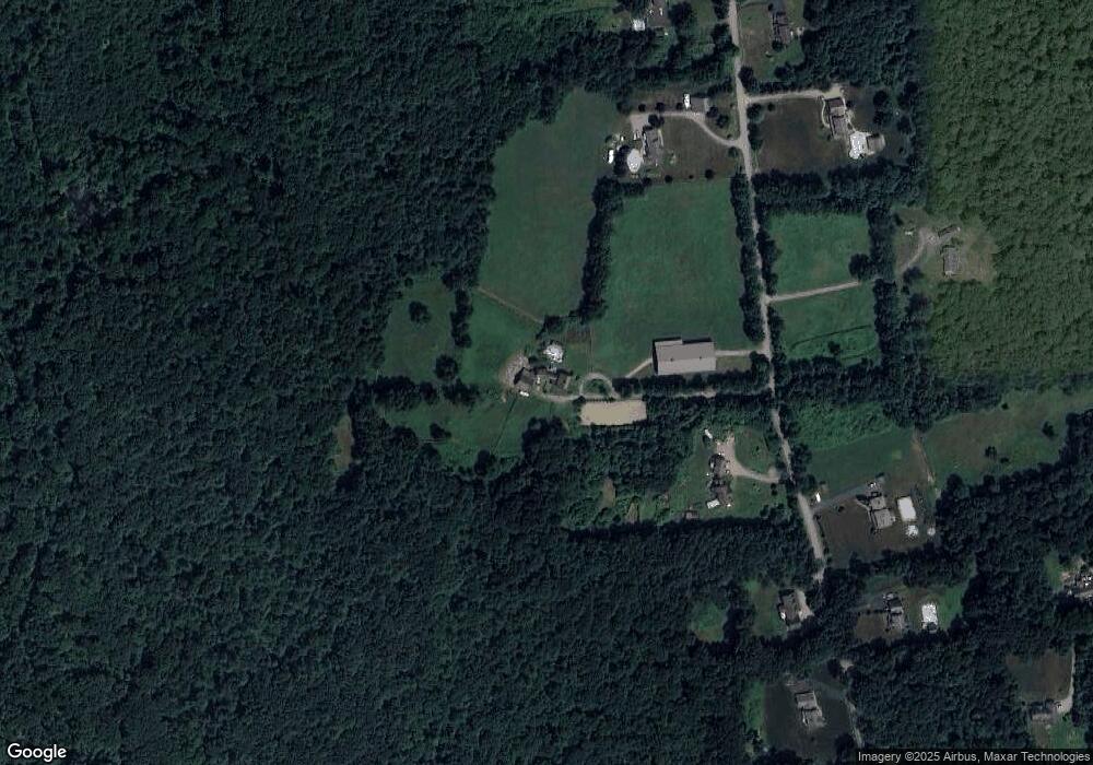
Map
Nearby Homes
- 1109 New Braintree Rd
- 1940 Barre Rd
- 379 Adams Rd
- 621 Woods Rd
- 716 Hardwick Rd
- 449 Hunt Rd
- 926 Old Turnpike Rd
- 106 Peach St
- 0 Bullard Rd
- 29 High St N
- 572 Wheelwright Rd
- 58 Ruggles St
- 6 Elm St S
- 1380 N Brookfield Rd
- Lot 0 N Brookfield Rd
- 241 N Brookfield Rd
- 1215 South St
- 76 N Brookfield Rd
- 280 S Barre Rd
- 256 Worcester Rd