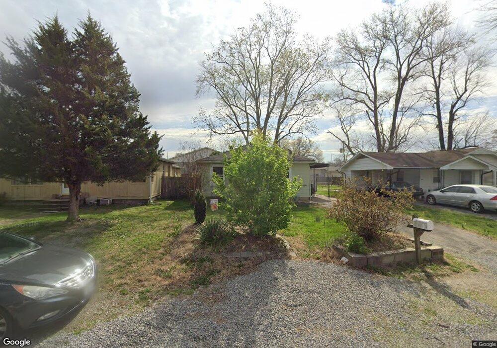
520 Terry Ln Cape Girardeau, MO 63701
Estimated Value: $114,576 - $155,000
3
Beds
1
Bath
980
Sq Ft
$138/Sq Ft
Est. Value
About This Home
This home is located at 520 Terry Ln, Cape Girardeau, MO 63701 and is currently estimated at $135,644, approximately $138 per square foot. 520 Terry Ln is a home with nearby schools including Franklin Elementary School, Central Middle School, and Central Junior High School.
Ownership History
Date
Name
Owned For
Owner Type
Purchase Details
Closed on
Oct 25, 2013
Sold by
Slinkard Charles
Bought by
Mcgee Stephanie and Mcgee Edward A
Current Estimated Value
Create a Home Valuation Report for This Property
The Home Valuation Report is an in-depth analysis detailing your home's value as well as a comparison with similar homes in the area
Home Values in the Area
Average Home Value in this Area
Purchase History
| Date | Buyer | Sale Price | Title Company |
|---|---|---|---|
| Mcgee Stephanie | -- | -- |
Source: Public Records
Tax History Compared to Growth
Tax History
| Year | Tax Paid | Tax Assessment Tax Assessment Total Assessment is a certain percentage of the fair market value that is determined by local assessors to be the total taxable value of land and additions on the property. | Land | Improvement |
|---|---|---|---|---|
| 2025 | $2 | $4,500 | $540 | $3,960 |
| 2024 | $2 | $4,290 | $520 | $3,770 |
| 2023 | $223 | $4,290 | $520 | $3,770 |
| 2022 | $206 | $3,960 | $480 | $3,480 |
| 2021 | $206 | $3,960 | $480 | $3,480 |
| 2020 | $207 | $3,960 | $480 | $3,480 |
| 2019 | $206 | $3,960 | $0 | $0 |
| 2018 | $206 | $3,960 | $0 | $0 |
| 2017 | $206 | $3,960 | $0 | $0 |
| 2016 | $184 | $3,540 | $0 | $0 |
| 2015 | $184 | $3,540 | $0 | $0 |
| 2014 | $185 | $3,540 | $0 | $0 |
Source: Public Records
Map
Nearby Homes
- 2416 Terrie Hill Rd
- 1958 Dunklin St
- 701 Penny Ave
- 2615 Maria Louise Ln
- 1738 Luce St
- 423 N Sunset Blvd
- 2629 Hopper Rd
- 1742 Dunklin St
- 1727 Whitener St
- 1814 Ricardo Dr
- 2323 Jean Ann Dr
- 1415 N Clark St
- 769 Cedar Ln
- 242 Orange Bowl Dr
- 1210 Perryville Rd
- 1522 Independence St
- 2811 Independence St
- 2709 Plymouth Dr
- 2449 Janet Dr
- 1455 Whitener St