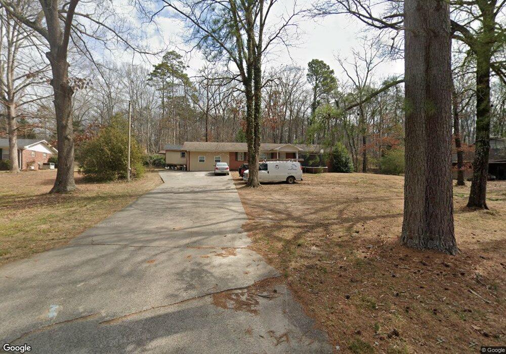
520 Westbrook Rd Dalton, GA 30721
Estimated Value: $264,529 - $284,000
3
Beds
2
Baths
2,204
Sq Ft
$123/Sq Ft
Est. Value
About This Home
This home is located at 520 Westbrook Rd, Dalton, GA 30721 and is currently estimated at $271,882, approximately $123 per square foot. 520 Westbrook Rd is a home with nearby schools including Pleasant Grove Elementary School, New Hope Middle School, and Northwest Whitfield County High School.
Ownership History
Date
Name
Owned For
Owner Type
Purchase Details
Closed on
Jun 24, 2013
Sold by
Carolyn Baptist Church
Bought by
Zavala Marivel
Current Estimated Value
Home Financials for this Owner
Home Financials are based on the most recent Mortgage that was taken out on this home.
Original Mortgage
$38,684
Interest Rate
3.59%
Mortgage Type
New Conventional
Create a Home Valuation Report for This Property
The Home Valuation Report is an in-depth analysis detailing your home's value as well as a comparison with similar homes in the area
Purchase History
| Date | Buyer | Sale Price | Title Company |
|---|---|---|---|
| Zavala Marivel | $65,000 | -- |
Source: Public Records
Mortgage History
| Date | Status | Borrower | Loan Amount |
|---|---|---|---|
| Closed | Zavala Marivel | $38,684 |
Source: Public Records
Tax History
| Year | Tax Paid | Tax Assessment Tax Assessment Total Assessment is a certain percentage of the fair market value that is determined by local assessors to be the total taxable value of land and additions on the property. | Land | Improvement |
|---|---|---|---|---|
| 2025 | $1,757 | $89,008 | $7,848 | $81,160 |
| 2024 | $1,757 | $89,008 | $7,848 | $81,160 |
| 2023 | $1,810 | $71,218 | $2,725 | $68,493 |
| 2022 | $1,342 | $54,047 | $2,725 | $51,322 |
| 2021 | $1,342 | $54,047 | $2,725 | $51,322 |
| 2020 | $1,228 | $49,174 | $2,725 | $46,449 |
| 2019 | $1,242 | $49,174 | $2,725 | $46,449 |
| 2018 | $1,256 | $49,149 | $2,700 | $46,449 |
| 2017 | $1,256 | $49,149 | $2,700 | $46,449 |
| 2016 | $1,094 | $44,946 | $2,700 | $42,246 |
| 2014 | $996 | $44,384 | $2,138 | $42,246 |
| 2013 | -- | $44,656 | $7,350 | $37,306 |
Source: Public Records
Map
Nearby Homes
- 522 Westbrook Rd
- 101 Forrest Park Rd
- 107 Driftwood Ln
- 2502 E Hillview Dr
- 2311 1st St
- 627 Fox Den Cir
- 621 Fox Den Cir
- 620 Fox Den Cir
- 615 Fox Den Cir
- 590 Fox Den Cir
- 607 Fox Den Cir
- 639 Fox Den Cir
- 576 Fox Den Cir
- 503 Moore Dr
- 564 Fox Den Cir
- 112 Albertson Dr
- 150 W Acklin Ln
- 132 Andros Loop
- 593 Fox Den Cir
- 120 Andros Dr Unit 22A
- 521 Westbrook Rd
- 518 Westbrook Rd
- 103 Forrest Park Rd
- 102 Forrest Park Rd
- 104 Forrest Park Rd
- 103 Sharondale Dr
- 106 Forrest Park Rd
- 105 Forrest Park Rd
- 102 Sharondale Dr
- 104 Sharondale Dr
- 104 Riderwood Place
- 102 Riderwood Place
- 106 Shallowford Rd
- 105 Sharondale Dr
- 112 Riderwood Dr
- 107 Forrest Park Rd
- 108 Forrest Park Rd
- 114 Riderwood Dr
- 108 Sharondale Dr
- 515 Westbrook Rd
Your Personal Tour Guide
Ask me questions while you tour the home.