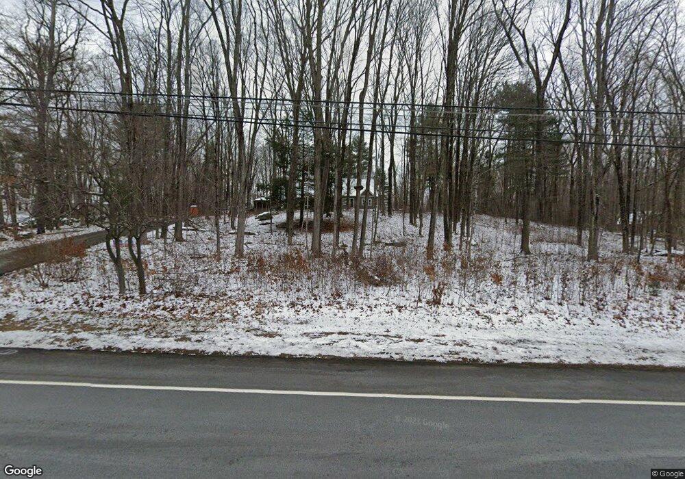
520 Westford Rd Ashford, CT 06278
Estimated Value: $432,047 - $512,000
2
Beds
2
Baths
1,815
Sq Ft
$262/Sq Ft
Est. Value
About This Home
This home is located at 520 Westford Rd, Ashford, CT 06278 and is currently estimated at $475,512, approximately $261 per square foot. 520 Westford Rd is a home located in Windham County with nearby schools including Ashford School and E.O. Smith High School.
Ownership History
Date
Name
Owned For
Owner Type
Purchase Details
Closed on
May 30, 2007
Sold by
Specyalski Brian
Bought by
Tyler Grant H
Current Estimated Value
Home Financials for this Owner
Home Financials are based on the most recent Mortgage that was taken out on this home.
Original Mortgage
$268,000
Outstanding Balance
$164,431
Interest Rate
6.24%
Estimated Equity
$311,081
Purchase Details
Closed on
Aug 11, 1995
Sold by
Specyalski Edmund D
Bought by
Specyalski Brian and Specyalski Heather
Home Financials for this Owner
Home Financials are based on the most recent Mortgage that was taken out on this home.
Original Mortgage
$100,000
Interest Rate
7.48%
Mortgage Type
Unknown
Create a Home Valuation Report for This Property
The Home Valuation Report is an in-depth analysis detailing your home's value as well as a comparison with similar homes in the area
Home Values in the Area
Average Home Value in this Area
Purchase History
| Date | Buyer | Sale Price | Title Company |
|---|---|---|---|
| Tyler Grant H | $335,000 | -- | |
| Tyler Grant H | $335,000 | -- | |
| Specyalski Brian | $148,000 | -- | |
| Specyalski Brian | $148,000 | -- |
Source: Public Records
Mortgage History
| Date | Status | Borrower | Loan Amount |
|---|---|---|---|
| Open | Specyalski Brian | $268,000 | |
| Closed | Specyalski Brian | $268,000 | |
| Previous Owner | Specyalski Brian | $62,600 | |
| Previous Owner | Specyalski Brian | $100,000 |
Source: Public Records
Tax History Compared to Growth
Tax History
| Year | Tax Paid | Tax Assessment Tax Assessment Total Assessment is a certain percentage of the fair market value that is determined by local assessors to be the total taxable value of land and additions on the property. | Land | Improvement |
|---|---|---|---|---|
| 2025 | $8,157 | $224,210 | $43,960 | $180,250 |
| 2024 | $7,704 | $224,210 | $43,960 | $180,250 |
| 2023 | $7,419 | $224,210 | $43,960 | $180,250 |
| 2022 | $3,284 | $101,780 | $43,960 | $57,820 |
| 2021 | $2,906 | $79,900 | $42,600 | $37,300 |
| 2020 | $2,944 | $79,900 | $42,600 | $37,300 |
| 2019 | $6,081 | $171,500 | $42,600 | $128,900 |
| 2018 | $5,963 | $171,500 | $42,600 | $128,900 |
| 2017 | $5,894 | $171,500 | $42,600 | $128,900 |
| 2016 | $5,600 | $173,000 | $52,700 | $120,300 |
| 2015 | $5,702 | $173,000 | $52,700 | $120,300 |
| 2014 | $5,564 | $173,000 | $52,700 | $120,300 |
Source: Public Records
Map
Nearby Homes
- 173 Westford Hill Rd
- 0 Chatey Rd
- 150 Krapf Rd
- 102 Krapf Rd
- 77 Lakeside Dr
- 329 Turnpike Rd
- 94 Mansfield Rd
- 12 Armitage Ct
- 66 Bebbington Rd
- Lot 0 Kozey Rd
- 90-94 & 93 Upton Rd
- 12 Union Dr
- 5 Nahaco Hill Ln
- 96 Westford Rd
- 8 Nahaco Hill Ln
- Lot 4A Weeks Rd
- 0 Jared Sparks Rd
- 89 John Perry Rd
- 211 Old Colony Rd
- 29 General Lyon Rd
- 528 Westford Rd
- 64 Sand Hill Rd
- 506 Westford Rd
- 60 Sand Hill Rd
- 535 Westford Rd
- 500 Westford Rd
- 00 Sand Hill Rd
- 77 Sand Hill Rd
- 540 Westford Rd
- 65 Sand Hill Rd
- 552 Westford Rd
- 491 Westford Rd
- 39 Sand Hill Rd
- 105 Sand Hill Rd
- 31 Sand Hill Rd
- 550-552-552 Westford Rd
- 103 Sand Hill Rd
- 480 Westford Rd
- 107 Sand Hill Rd
- 481 Westford Rd