5200 Chief Blacktail Trail Laurel, MT 59044
Estimated Value: $577,000 - $655,000
3
Beds
2
Baths
2,280
Sq Ft
$265/Sq Ft
Est. Value
About This Home
This home is located at 5200 Chief Blacktail Trail, Laurel, MT 59044 and is currently estimated at $603,843, approximately $264 per square foot. 5200 Chief Blacktail Trail is a home located in Yellowstone County with nearby schools including Fred W. Graff School, West School, and Laurel Middle School.
Ownership History
Date
Name
Owned For
Owner Type
Purchase Details
Closed on
Feb 14, 2024
Sold by
Ames Todd M and Ames Cheryl
Bought by
Pursell Cole and Pursell Elizabeth
Current Estimated Value
Home Financials for this Owner
Home Financials are based on the most recent Mortgage that was taken out on this home.
Original Mortgage
$452,000
Outstanding Balance
$444,027
Interest Rate
6.62%
Mortgage Type
New Conventional
Estimated Equity
$159,816
Create a Home Valuation Report for This Property
The Home Valuation Report is an in-depth analysis detailing your home's value as well as a comparison with similar homes in the area
Home Values in the Area
Average Home Value in this Area
Purchase History
| Date | Buyer | Sale Price | Title Company |
|---|---|---|---|
| Pursell Cole | -- | Stewart Title |
Source: Public Records
Mortgage History
| Date | Status | Borrower | Loan Amount |
|---|---|---|---|
| Open | Pursell Cole | $452,000 |
Source: Public Records
Tax History Compared to Growth
Tax History
| Year | Tax Paid | Tax Assessment Tax Assessment Total Assessment is a certain percentage of the fair market value that is determined by local assessors to be the total taxable value of land and additions on the property. | Land | Improvement |
|---|---|---|---|---|
| 2025 | $1,836 | $323,805 | $68,555 | $255,250 |
| 2024 | $1,836 | $225,617 | $63,347 | $162,270 |
| 2023 | $1,479 | $174,437 | $63,347 | $111,090 |
| 2022 | $1,266 | $185,362 | $0 | $0 |
| 2021 | $1,572 | $185,362 | $0 | $0 |
| 2020 | $1,625 | $190,719 | $0 | $0 |
| 2019 | $1,566 | $190,719 | $0 | $0 |
| 2018 | $1,802 | $197,805 | $0 | $0 |
| 2017 | $1,655 | $197,805 | $0 | $0 |
| 2016 | $1,595 | $179,886 | $0 | $0 |
| 2015 | $1,508 | $179,886 | $0 | $0 |
| 2014 | $1,498 | $98,765 | $0 | $0 |
Source: Public Records
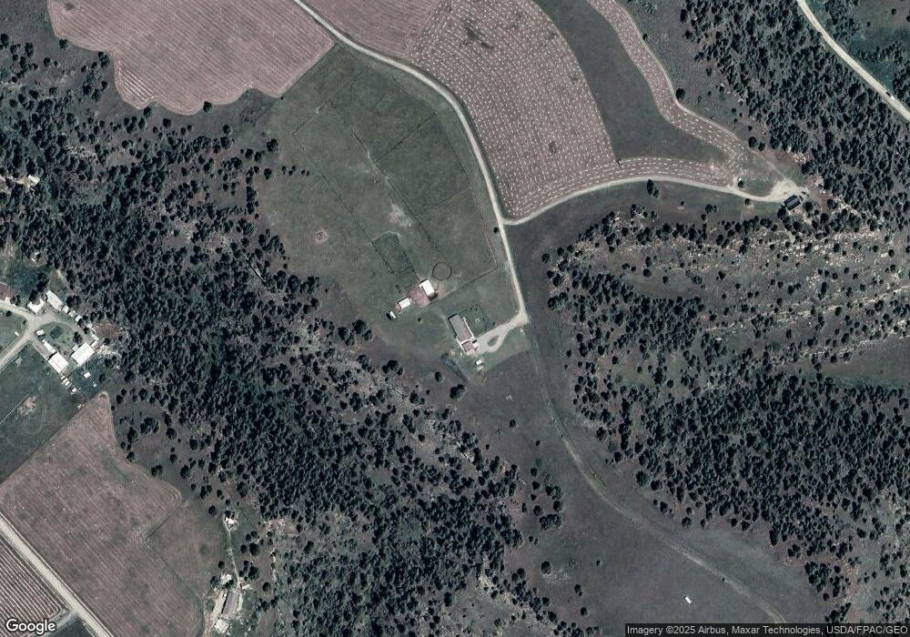
Map
Nearby Homes
- 2900 Chief White Bird Trail
- 4728 Clapper Flat Rd
- 1450 Red and King Gulch Rd
- 5930 Chief Buffalo Horn Trail
- 4751 Naytura Ridge
- TBD Lot 2 Lori Rae Ln
- TBD Lot 1 Lori Rae Ln
- 1095 Tracy Way
- TBD Wold Rd
- 0 Coombs Flat Rd
- 1712 Paynes Place
- 1018 Els Dr
- TBD Block 3 Lot 6
- 1960 Coyote Ridge Rd N
- TBD Block 1 Lot 2
- 1014 Rochelle Ln
- TBD Block 3 Lot 4
- TBD Block 1 Lot 3
- TBD Block 3 Lot 1
- TBD Block 3 Lot 9
- Nhn Chief Brave Wolf Rd
- 0 Chief Black Tail
- 62 Chief Blacktail Trail
- 5585 Chief Brave Wolf Trail
- 44 Indian Gulch Rd
- 5305 Chief Brave Wolf Trail
- 5310 Chief Brave Wolf Trail
- 5205 Chief Brave Wolf Trail
- 2875 Red and King Gulch Rd
- 3000 Chief Looking Glass Rd
- 3100 Chief Looking Glass Rd
- 5270 Chief Brave Wolf Trail
- 2605 Red and King Gulch Rd
- NHN Chief Brave Wolf Trail
- 2570 Seven Drums Rd
- 00 Chief Brave Wolf
- 72 Chief Brave Wolf
- 0 Chief Brave Wolf
- 5650 Chief Brave Wolf
- 0 Red and King Gulch Rd