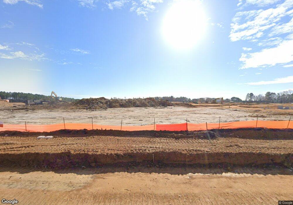
5200 Knightdale Eagle Rock Rd Knightdale, NC 27545
Estimated Value: $6,425,199
--
Bed
2
Baths
--
Sq Ft
60.77
Acres
About This Home
This home is located at 5200 Knightdale Eagle Rock Rd, Knightdale, NC 27545 and is currently priced at $6,425,199. 5200 Knightdale Eagle Rock Rd is a home located in Wake County with nearby schools including Lockhart Elementary School, Neuse River Middle School, and Knightdale High.
Ownership History
Date
Name
Owned For
Owner Type
Purchase Details
Closed on
Feb 15, 2024
Sold by
Raleigh Rescue Mission
Bought by
Lennar Carolinas Llc
Current Estimated Value
Purchase Details
Closed on
Feb 12, 2024
Sold by
Lennar Carolinas Llc
Bought by
Ag Ehc Ii Len Multi St 4 Llc
Purchase Details
Closed on
May 5, 2023
Sold by
Raleigh Rescue Mission Inc
Bought by
Debnam Don V and Debnam Deborah J
Purchase Details
Closed on
Jan 29, 2015
Sold by
Hospice Of Wake County Inc
Bought by
The Raleigh Rescue Mission Inc
Create a Home Valuation Report for This Property
The Home Valuation Report is an in-depth analysis detailing your home's value as well as a comparison with similar homes in the area
Home Values in the Area
Average Home Value in this Area
Purchase History
| Date | Buyer | Sale Price | Title Company |
|---|---|---|---|
| Lennar Carolinas Llc | $6,217,500 | None Listed On Document | |
| Ag Ehc Ii Len Multi St 4 Llc | $6,217,500 | None Listed On Document | |
| Debnam Don V | -- | None Listed On Document | |
| The Raleigh Rescue Mission Inc | $300,000 | None Available |
Source: Public Records
Tax History Compared to Growth
Tax History
| Year | Tax Paid | Tax Assessment Tax Assessment Total Assessment is a certain percentage of the fair market value that is determined by local assessors to be the total taxable value of land and additions on the property. | Land | Improvement |
|---|---|---|---|---|
| 2023 | $1,565 | $2,086,180 | $2,086,180 | $0 |
| 2022 | $15,066 | $2,086,180 | $2,086,180 | $0 |
| 2021 | $14,660 | $2,086,180 | $2,086,180 | $0 |
| 2020 | $14,416 | $2,086,180 | $2,086,180 | $0 |
| 2019 | $10,090 | $1,235,400 | $1,235,400 | $0 |
| 2018 | $9,270 | $1,235,400 | $1,235,400 | $0 |
| 2017 | $8,784 | $1,235,400 | $1,235,400 | $0 |
| 2016 | $8,605 | $1,235,400 | $1,235,400 | $0 |
| 2015 | $21,727 | $3,099,991 | $3,038,500 | $61,491 |
| 2014 | $20,586 | $3,125,491 | $3,064,000 | $61,491 |
Source: Public Records
Map
Nearby Homes
- 452 Cedar Pond Ct
- 528 Mailman Rd
- 800 Challenger Ln
- 524 Twin Star Ln
- 514 Sunland Dr
- 640 Marion Hills Way
- 1004 Bostonian Dr
- 1000 Bostonian Dr
- 968 Bostonian Dr
- 768 Aristocrat Ln
- 772 Aristocrat Ln
- 601 Marion Hills Way
- 104 Princess Crescen
- 521 Marion Hills Way
- 602 Keith St
- 732 Portland Rose Dr
- Preston Plan at Harrisburg Station at Knightdale Station - 50' Homesites
- Jessamine Plan at Harrisburg Station at Knightdale Station - 60' Homesites
- Cypress Plan at Harrisburg Station at Knightdale Station - 50' Homesites
- Magnolia Plan at Harrisburg Station at Knightdale Station - 60' Homesites
- 2001 Marks Creek Rd
- 2004 Marks Creek Rd
- 2019 Marks Creek Rd
- 152 Mailman Rd
- 0 Knightdale-Eagle Rock Rd Unit 2378161
- 1101 Robertson St
- 1102 Robertson St
- 2004 Yates Cir
- 5116 Belle Ln
- 5116 Belle Ln Unit 17
- 2001 Yates Cir
- 0 Yates Cir Unit 1683268
- 0 Yates Cir Unit 4 TR1683268
- 1525 Fayetteville St
- 265 Mailman Rd
- 2113 Marks Creek Rd
- 2100 Raines Ave
- 00 Mailman Rd
- 000 Mailman Rd
- 2112 Marks Creek Rd