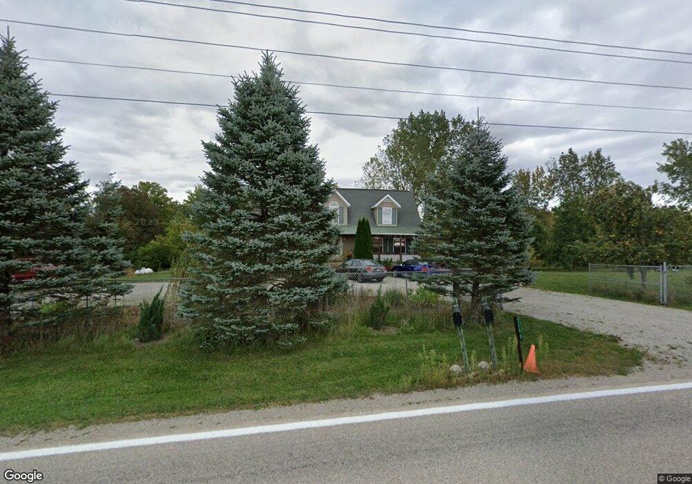
5200 State Route 257 Radnor, OH 43066
Thompson NeighborhoodEstimated Value: $441,000 - $495,281
3
Beds
3
Baths
2,388
Sq Ft
$201/Sq Ft
Est. Value
About This Home
This home is located at 5200 State Route 257, Radnor, OH 43066 and is currently estimated at $481,070, approximately $201 per square foot. 5200 State Route 257 is a home located in Delaware County with nearby schools including Elgin Elementary School, Elgin Middle School, and Elgin High School.
Ownership History
Date
Name
Owned For
Owner Type
Purchase Details
Closed on
Jun 1, 2012
Sold by
Smith Jeffrey S
Bought by
Smith Patricia A
Current Estimated Value
Purchase Details
Closed on
Jun 1, 2005
Sold by
Smith Jeffery S and Smith Patricia A
Bought by
Smith Jeffery S and Smith Patricia A
Create a Home Valuation Report for This Property
The Home Valuation Report is an in-depth analysis detailing your home's value as well as a comparison with similar homes in the area
Home Values in the Area
Average Home Value in this Area
Purchase History
| Date | Buyer | Sale Price | Title Company |
|---|---|---|---|
| Smith Patricia A | -- | None Available | |
| Smith Jeffery S | -- | Lawyers Title |
Source: Public Records
Tax History Compared to Growth
Tax History
| Year | Tax Paid | Tax Assessment Tax Assessment Total Assessment is a certain percentage of the fair market value that is determined by local assessors to be the total taxable value of land and additions on the property. | Land | Improvement |
|---|---|---|---|---|
| 2024 | $4,702 | $126,180 | $31,920 | $94,260 |
| 2023 | $4,702 | $126,180 | $31,920 | $94,260 |
| 2022 | $4,316 | $110,640 | $24,850 | $85,790 |
| 2021 | $4,526 | $110,640 | $24,850 | $85,790 |
| 2020 | $4,538 | $110,640 | $24,850 | $85,790 |
| 2019 | $3,589 | $86,380 | $19,880 | $66,500 |
| 2018 | $3,428 | $86,380 | $19,880 | $66,500 |
| 2017 | $3,231 | $73,890 | $16,140 | $57,750 |
| 2016 | $2,967 | $73,890 | $16,140 | $57,750 |
| 2015 | $3,014 | $73,890 | $16,140 | $57,750 |
| 2014 | $3,064 | $73,890 | $16,140 | $57,750 |
| 2013 | $3,242 | $76,940 | $16,140 | $60,800 |
Source: Public Records
Map
Nearby Homes
- 4518 State Route 257
- 4093 State Route 257
- 7186 Prospect Dublin Rd
- 4525 Norton Rd
- 6343 State Route 4
- 0 Prospect-Dublin Rd
- 0 Fulton Creek Rd
- 206 S East St
- 300 N East St
- 1859 State Route 257 N
- 0 Marsh Rd Unit 225031436
- 2390 Penry Rd
- 6434 Hughes Rd
- 6405 Hughes Rd
- 0 Norton Rd
- 6323 Hughes Rd
- 2217 Radnor Rd
- 3935 N Section Line Rd
- 11403 State Route 47
- 607 Kells Ln
- 5246 State Route 257
- 5060 State Route 257
- 6775 Taway Rd
- 5378 State Route 257
- 5059 State Route 257
- 5059 Ohio 257
- 5383 State Route 257
- 5039 State Route 257
- 6901 Taway Rd
- 5019 State Route 257
- 5019 Ohio 257
- 4994 State Route 257
- 4994 Ohio 257
- 7017 Taway Rd
- 7065 Taway Rd
- 4843 State Route 257
- 5156 River Rd
- 7233 Taway Rd
- 4751 State Route 257
- 7246 Taway Rd