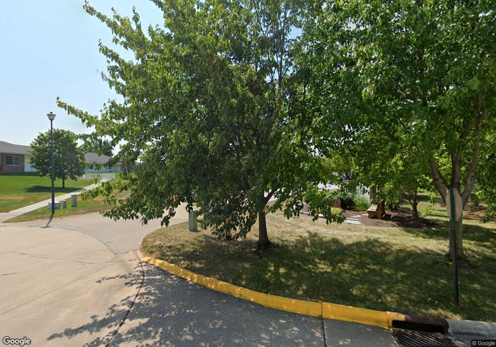
5200 Villa Dr Unit 50 Davenport, IA 52806
North Side NeighborhoodEstimated Value: $233,000 - $271,000
2
Beds
3
Baths
1,224
Sq Ft
$208/Sq Ft
Est. Value
About This Home
This home is located at 5200 Villa Dr Unit 50, Davenport, IA 52806 and is currently estimated at $254,057, approximately $207 per square foot. 5200 Villa Dr Unit 50 is a home located in Scott County with nearby schools including Cumberland Hall School, Harrison Elementary School, and Academy Of Continuing Education.
Ownership History
Date
Name
Owned For
Owner Type
Purchase Details
Closed on
Nov 12, 2020
Sold by
Harland Betty D
Bought by
Harland Larry L
Current Estimated Value
Home Financials for this Owner
Home Financials are based on the most recent Mortgage that was taken out on this home.
Original Mortgage
$45,000
Outstanding Balance
$24,388
Interest Rate
2.7%
Mortgage Type
New Conventional
Estimated Equity
$229,669
Purchase Details
Closed on
Sep 21, 2007
Sold by
Staudt Jeri J and Staudt Jeri J
Bought by
Harland Evert L and Harland Betty D
Purchase Details
Closed on
Dec 7, 2006
Sold by
Staudt Jeri J
Bought by
Staudt Jeri J and Jeri J Staudt Revocable Trust
Create a Home Valuation Report for This Property
The Home Valuation Report is an in-depth analysis detailing your home's value as well as a comparison with similar homes in the area
Home Values in the Area
Average Home Value in this Area
Purchase History
| Date | Buyer | Sale Price | Title Company |
|---|---|---|---|
| Harland Larry L | $160,000 | None Listed On Document | |
| Harland Evert L | $160,000 | None Available | |
| Staudt Jeri J | -- | None Available |
Source: Public Records
Mortgage History
| Date | Status | Borrower | Loan Amount |
|---|---|---|---|
| Open | Harland Larry L | $45,000 |
Source: Public Records
Tax History Compared to Growth
Tax History
| Year | Tax Paid | Tax Assessment Tax Assessment Total Assessment is a certain percentage of the fair market value that is determined by local assessors to be the total taxable value of land and additions on the property. | Land | Improvement |
|---|---|---|---|---|
| 2025 | $3,556 | $226,320 | $38,520 | $187,800 |
| 2024 | $3,466 | $209,240 | $38,520 | $170,720 |
| 2023 | $3,862 | $209,240 | $38,520 | $170,720 |
| 2022 | $3,878 | $189,680 | $38,520 | $151,160 |
| 2021 | $3,878 | $189,680 | $38,520 | $151,160 |
| 2020 | $3,552 | $175,690 | $38,520 | $137,170 |
| 2019 | $3,584 | $171,490 | $38,520 | $132,970 |
| 2018 | $3,502 | $171,490 | $38,520 | $132,970 |
| 2017 | $935 | $171,490 | $38,520 | $132,970 |
| 2016 | $3,492 | $171,490 | $0 | $0 |
| 2015 | $3,492 | $161,820 | $0 | $0 |
| 2014 | $3,326 | $161,820 | $0 | $0 |
| 2013 | $3,264 | $0 | $0 | $0 |
| 2012 | -- | $161,950 | $44,300 | $117,650 |
Source: Public Records
Map
Nearby Homes
- 4705 N Sturdevant St
- 5210 N Division St
- 1729 Welshire Dr
- 4618 Fillmore Ln
- 5436 N Division St
- 5510 N Division St
- 28 W Village Cir
- 4757 Willow Cir
- 4743 Willow Cir
- 2127 W 51st St
- 1927 W 55th St
- 5109 N Pine St
- 4804 Northwest Blvd
- 4132 Rodeo Rd
- 4612 Warren St Unit 5
- 1453 W 41st St
- 4406 Regency Place
- 5721 Taylor St
- 4449 Royal Oaks Dr
- 1415 W 59th St
- 5200 Villa Dr Unit 20
- 5200 Villa Dr Unit 19
- 5200 Villa Dr Unit 9
- 5200 Villa Dr Unit 6
- 5200 Villa Dr Unit 60
- 5200 Villa Dr Unit 59
- 5200 Villa Dr Unit 58
- 5200 Villa Dr Unit 57
- 5200 Villa Dr Unit 56
- 5200 Villa Dr Unit 54
- 5200 Villa Dr Unit 52
- 5200 Villa Dr Unit 51
- 5200 Villa Dr Unit 49
- 5200 Villa Dr Unit 48
- 5200 Villa Dr Unit 47
- 5200 Villa Dr Unit 46
- 5200 Villa Dr Unit 45
- 5200 Villa Dr Unit 44
- 5200 Villa Dr Unit 43
- 5200 Villa Dr Unit 42