5200 W Howe Rd Dewitt, MI 48820
Estimated Value: $416,000 - $815,000
3
Beds
2
Baths
1,521
Sq Ft
$371/Sq Ft
Est. Value
About This Home
This home is located at 5200 W Howe Rd, Dewitt, MI 48820 and is currently estimated at $563,955, approximately $370 per square foot. 5200 W Howe Rd is a home located in Clinton County with nearby schools including Schavey Road Elementary School, Herbison Woods Elementary School, and Scott Elementary School.
Ownership History
Date
Name
Owned For
Owner Type
Purchase Details
Closed on
Nov 13, 2012
Sold by
Smith Andrey J
Bought by
Smith Audrey J and Audrey Smith Revocable Trust
Current Estimated Value
Home Financials for this Owner
Home Financials are based on the most recent Mortgage that was taken out on this home.
Original Mortgage
$221,166
Interest Rate
3.62%
Mortgage Type
FHA
Purchase Details
Closed on
Apr 15, 2009
Sold by
Smith Audrey J
Bought by
Smith Audrey J and Audrey Smith Revocable Trust
Purchase Details
Closed on
Mar 21, 2009
Sold by
Smith Audrey J
Bought by
Smith Audrey J
Purchase Details
Closed on
Jan 26, 2006
Sold by
Smith Audrey J
Bought by
Smith Audrey J and Audrey Smith Revocable Trust
Create a Home Valuation Report for This Property
The Home Valuation Report is an in-depth analysis detailing your home's value as well as a comparison with similar homes in the area
Home Values in the Area
Average Home Value in this Area
Purchase History
| Date | Buyer | Sale Price | Title Company |
|---|---|---|---|
| Smith Audrey J | -- | Diversified National Title | |
| Smith Audrey | -- | Diversified National Title | |
| Smith Audrey J | -- | None Available | |
| Smith Audrey J | -- | None Available | |
| Smith Audrey J | -- | None Available |
Source: Public Records
Mortgage History
| Date | Status | Borrower | Loan Amount |
|---|---|---|---|
| Closed | Smith Audrey | $221,166 |
Source: Public Records
Tax History
| Year | Tax Paid | Tax Assessment Tax Assessment Total Assessment is a certain percentage of the fair market value that is determined by local assessors to be the total taxable value of land and additions on the property. | Land | Improvement |
|---|---|---|---|---|
| 2025 | $6,034 | $284,900 | $132,850 | $152,050 |
| 2024 | $17 | $260,100 | $115,250 | $144,850 |
| 2023 | $1,636 | $252,050 | $0 | $0 |
| 2022 | $5,550 | $233,850 | $112,050 | $121,800 |
| 2021 | $5,416 | $231,950 | $114,250 | $117,700 |
| 2020 | $5,122 | $205,600 | $93,550 | $112,050 |
| 2019 | $4,371 | $194,700 | $89,850 | $104,850 |
| 2018 | $4,201 | $187,500 | $84,150 | $103,350 |
| 2017 | $4,142 | $188,600 | $83,900 | $104,700 |
| 2016 | $4,142 | $182,000 | $80,350 | $101,650 |
| 2015 | $4,132 | $167,450 | $0 | $0 |
| 2011 | -- | $198,100 | $0 | $0 |
Source: Public Records
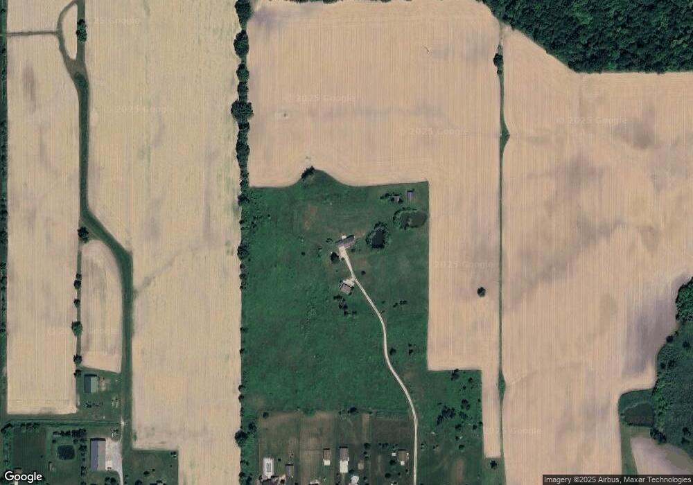
Map
Nearby Homes
- 4975 W Cutler Rd
- 11740 Kalamata Dr
- 3893 Sage Ln
- 4083 W Herbison Rd
- 3535 Stanwood Dr
- 3783 Wisteria Ln
- 14013 Ambrosia Ave
- 00 Driftwood Dr
- 0 Driftwood Dr
- 3343 Silverspring Dr
- 1605 Stauffer Ln
- 10880 S Francis Rd
- 6260 W Chadwick Rd
- 13624 Sienna Pass
- 1226 S Geneva Dr
- 3421 Hawthorne Woods Pkwy
- 603 Cherry St
- 513 N Scott St
- 7713 Jon Scott Dr
- 13894 Luroma Cir
Your Personal Tour Guide
Ask me questions while you tour the home.