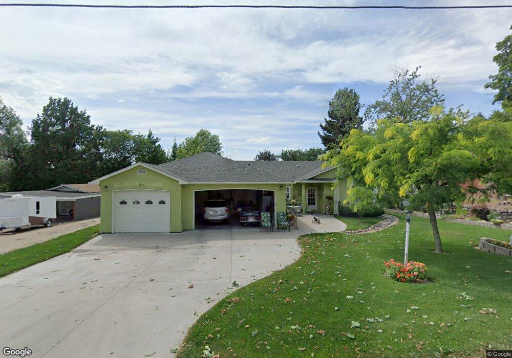
5201 N Stinger Dr Boise, ID 83703
Collister NeighborhoodEstimated Value: $573,000 - $723,000
3
Beds
2
Baths
1,711
Sq Ft
$394/Sq Ft
Est. Value
About This Home
This home is located at 5201 N Stinger Dr, Boise, ID 83703 and is currently estimated at $674,330, approximately $394 per square foot. 5201 N Stinger Dr is a home located in Ada County with nearby schools including Cynthia Mann Elementary School, Hillside Junior High School, and Boise Senior High School.
Ownership History
Date
Name
Owned For
Owner Type
Purchase Details
Closed on
Aug 4, 2025
Sold by
George L Virginia S Pierce Trust and Pierce George L
Bought by
Taylor Nathan J and Harpole Kerri Lynn
Current Estimated Value
Home Financials for this Owner
Home Financials are based on the most recent Mortgage that was taken out on this home.
Original Mortgage
$421,000
Outstanding Balance
$420,642
Interest Rate
6.81%
Mortgage Type
New Conventional
Estimated Equity
$253,688
Create a Home Valuation Report for This Property
The Home Valuation Report is an in-depth analysis detailing your home's value as well as a comparison with similar homes in the area
Home Values in the Area
Average Home Value in this Area
Purchase History
| Date | Buyer | Sale Price | Title Company |
|---|---|---|---|
| Taylor Nathan J | -- | Stewart Title |
Source: Public Records
Mortgage History
| Date | Status | Borrower | Loan Amount |
|---|---|---|---|
| Open | Taylor Nathan J | $421,000 |
Source: Public Records
Tax History Compared to Growth
Tax History
| Year | Tax Paid | Tax Assessment Tax Assessment Total Assessment is a certain percentage of the fair market value that is determined by local assessors to be the total taxable value of land and additions on the property. | Land | Improvement |
|---|---|---|---|---|
| 2025 | $4,341 | $666,100 | -- | -- |
| 2024 | $4,386 | $602,300 | -- | -- |
| 2023 | $4,386 | $583,300 | $0 | $0 |
| 2022 | $4,776 | $674,600 | $0 | $0 |
| 2021 | $3,760 | $468,200 | $0 | $0 |
| 2020 | $3,281 | $375,600 | $0 | $0 |
| 2019 | $3,494 | $356,900 | $0 | $0 |
| 2018 | $2,800 | $284,000 | $0 | $0 |
| 2017 | $2,251 | $240,500 | $0 | $0 |
| 2016 | $2,158 | $226,200 | $0 | $0 |
| 2015 | $2,138 | $208,100 | $0 | $0 |
| 2012 | -- | $172,100 | $0 | $0 |
Source: Public Records
Map
Nearby Homes
- 5120 W Hill Rd
- 5108 W Hill Rd
- 5768 W Gate House Ct
- 5775 W Ellens Ferry Ct
- 5828 W Filly St
- 5513 N Polecat Lofts Ln
- 5227 N Eugene St
- 5611 W Hill Rd
- 5544 N Polecat Lofts Ln
- 5019 N Bitterbrush Dr
- 4680 N Crimson Place
- 5621 W Winfield Ct
- 4460 N Bluegrass Ave
- 5034 N Partagas Ave
- 4915 N Bitterbrush Dr
- 5646 W Ellens Ferry Dr
- 4377 N Johns Landing Way
- 4407 W Quail Point Ct
- 6097 W Township Dr
- 6165 W Baron St
- 5207 N Stinger Dr
- 5115 N Stinger Dr
- 5202 Stinger Dr
- 5206 N Stinger
- 5112 N Stinger Dr
- 5306 W Castle Dr
- 5112 N Stinger St
- 5180 N Turret Way
- 5212 N Turret Way
- 5164 N Turret Way
- 5252 N Turret Way
- 5146 N Turret Way
- 5146 N Turret Way Unit N/A
- 5224 W Castle Dr
- 5270 N Turret Way
- 5120 N Turret Way
- 5298 N Turret Way
- 5218 W Castle Dr
- 5458 W Kennecott St
- 5209 N Turret Way