5202 Dellwood Rd South Haven, MN 55382
Estimated Value: $472,000 - $659,578
4
Beds
3
Baths
1,932
Sq Ft
$299/Sq Ft
Est. Value
About This Home
This home is located at 5202 Dellwood Rd, South Haven, MN 55382 and is currently estimated at $577,859, approximately $299 per square foot. 5202 Dellwood Rd is a home located in Stearns County with nearby schools including Kimball Elementary School and Kimball High School.
Ownership History
Date
Name
Owned For
Owner Type
Purchase Details
Closed on
Jan 8, 2002
Sold by
Hilary Delroy
Bought by
Jensen Patrick
Current Estimated Value
Purchase Details
Closed on
Jan 2, 2002
Sold by
Meyermartha Estate
Bought by
Hilary Delroy
Purchase Details
Closed on
Dec 30, 1996
Sold by
Meyer
Bought by
Hilary
Create a Home Valuation Report for This Property
The Home Valuation Report is an in-depth analysis detailing your home's value as well as a comparison with similar homes in the area
Home Values in the Area
Average Home Value in this Area
Purchase History
| Date | Buyer | Sale Price | Title Company |
|---|---|---|---|
| Jensen Patrick | $90,000 | -- | |
| Hilary Delroy | $22,000 | -- | |
| Hilary | -- | -- |
Source: Public Records
Tax History Compared to Growth
Tax History
| Year | Tax Paid | Tax Assessment Tax Assessment Total Assessment is a certain percentage of the fair market value that is determined by local assessors to be the total taxable value of land and additions on the property. | Land | Improvement |
|---|---|---|---|---|
| 2025 | $5,074 | $589,200 | $242,100 | $347,100 |
| 2024 | $2,018 | $604,500 | $234,000 | $370,500 |
| 2023 | $1,970 | $438,600 | $228,400 | $210,200 |
| 2022 | $1,930 | $344,700 | $168,800 | $175,900 |
| 2021 | $2,114 | $344,700 | $168,800 | $175,900 |
| 2020 | $2,162 | $355,200 | $179,500 | $175,700 |
| 2019 | $2,282 | $354,300 | $174,500 | $179,800 |
| 2018 | $2,146 | $335,400 | $159,300 | $176,100 |
| 2017 | $2,190 | $321,300 | $160,900 | $160,400 |
| 2016 | $2,100 | $0 | $0 | $0 |
| 2015 | $2,022 | $0 | $0 | $0 |
| 2014 | -- | $0 | $0 | $0 |
Source: Public Records
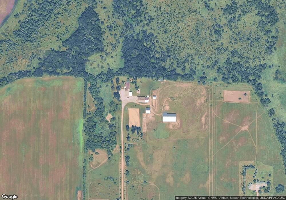
Map
Nearby Homes
- 3021 181st St
- 17910 27th Ave
- 17963 27th Ave
- 16307 78th Ave
- XXXXXXX (Parcel C) 170th St
- XXXXX (Parcel B) 170th St
- XXXX (Parcel A) 170th St
- South Tract A TBD County Road 45
- North Tract B TBD County Road 45
- 2184 170th St
- XXX Deerwood Rd
- 20658 State Highway 15
- 14XXX County Road 44
- 18503 Dairywood Rd
- 22235 Ridgeview Dr
- 10848 Porter Ave NW
- 16698 109th St NW
- 22298 State Highway 15
- 20801 13th Ave
- 10399 Reardon Ave NW
- 4950 Dellwood Rd
- 5249 Dellwood Rd
- 5596 Dellwood Rd
- 4931 Dellwood Rd
- 5803 Dellwood Rd
- 4811 Dellwood Rd
- 4811 Dellwood Rd
- 4646 Dellwood Rd
- xxx County Road 7
- 4597 Dellwood Rd
- XXX County Rd 7
- 4815 182nd St
- 17673 County Road 7
- 4561 182nd St
- 17865 County Road 7
- 13XXX County Road 7
- 17472 County Road 7
- 17927 County Road 7
- 17952 County Road 7