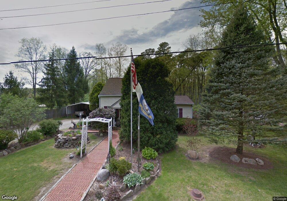
5203 Salem Rd Morrow, OH 45152
Estimated Value: $173,614 - $210,000
2
Beds
2
Baths
864
Sq Ft
$221/Sq Ft
Est. Value
About This Home
This home is located at 5203 Salem Rd, Morrow, OH 45152 and is currently estimated at $191,154, approximately $221 per square foot. 5203 Salem Rd is a home located in Warren County with nearby schools including Little Miami Early Childhood Center, Little Miami Intermediate Middle School, and Little Miami Middle School.
Ownership History
Date
Name
Owned For
Owner Type
Purchase Details
Closed on
Dec 29, 1993
Sold by
Bishop Bishop and Bishop Dwayne H
Bought by
Cain Cain and Cain Larry D
Current Estimated Value
Purchase Details
Closed on
Feb 4, 1992
Sold by
Burns Mort J and Burns Deanna K
Bought by
Bishop and Bishop Dwayne H
Purchase Details
Closed on
Jul 10, 1990
Sold by
Hinkley J Scott J and Hinkley Evely
Bought by
Burns and Burns Mort J
Purchase Details
Closed on
Jul 16, 1982
Sold by
Witt Witt and Witt Dorothy
Purchase Details
Closed on
Aug 1, 1980
Sold by
Witt Witt and Witt Arnold E
Create a Home Valuation Report for This Property
The Home Valuation Report is an in-depth analysis detailing your home's value as well as a comparison with similar homes in the area
Home Values in the Area
Average Home Value in this Area
Purchase History
| Date | Buyer | Sale Price | Title Company |
|---|---|---|---|
| Cain Cain | $53,700 | -- | |
| Bishop | $34,500 | -- | |
| Burns | $26,000 | -- | |
| -- | $25,500 | -- | |
| -- | -- | -- |
Source: Public Records
Tax History
| Year | Tax Paid | Tax Assessment Tax Assessment Total Assessment is a certain percentage of the fair market value that is determined by local assessors to be the total taxable value of land and additions on the property. | Land | Improvement |
|---|---|---|---|---|
| 2025 | $985 | $41,490 | $15,580 | $25,910 |
| 2024 | $985 | $41,490 | $15,580 | $25,910 |
| 2023 | $758 | $32,511 | $9,583 | $22,928 |
| 2022 | $1,187 | $32,512 | $9,583 | $22,929 |
| 2021 | $717 | $32,512 | $9,583 | $22,929 |
| 2020 | $992 | $26,432 | $7,791 | $18,641 |
| 2019 | $1,010 | $26,432 | $7,791 | $18,641 |
| 2018 | $1,026 | $26,432 | $7,791 | $18,641 |
| 2017 | $861 | $23,296 | $6,955 | $16,342 |
| 2016 | $878 | $23,296 | $6,955 | $16,342 |
| 2015 | $823 | $23,296 | $6,955 | $16,342 |
| 2014 | $918 | $23,300 | $6,950 | $16,340 |
| 2013 | $903 | $26,090 | $7,790 | $18,300 |
Source: Public Records
Map
Nearby Homes
- 6051 U S 22 Unit 56
- 5031 Ohio 123
- 5777 U S 22
- 5467 Morrow-Blackhawk Rd
- Lot #1 Middleboro Rd
- 5039 Mary Louise Ct
- 4997 Jessica Suzanne Dr
- Birch with Included Basement Plan at Woodlands at Morrow
- Spruce with Included Basement Plan at Woodlands at Morrow
- Aspen with Included Basement Plan at Woodlands at Morrow
- Hazel with Included Basement Plan at Woodlands at Morrow
- Elder with Basement Plan at Woodlands at Morrow
- 5015 Allens Ridge Dr
- 5168 Allens Ridge Dr
- 4836 Jessica Suzanne Dr
- 3155 Rosemary Ct Unit Lot 94
- 3155 Rosemary Ct
- 7182 Brook Dr
- 2841 Ohio 123
- 114 Highlawn Ave
- 5181 Salem Rd
- 5219 Salem Rd
- 5200 Salem Rd
- 5165 Salem Rd
- 5239 Salem Rd
- 5218 Salem Rd
- 5182 Salem Rd
- 5236 Salem Rd
- 5162 Salem Rd
- 5141 Salem Rd
- 5258 Salem Rd
- 5148 Salem Rd
- 5129 Salem Rd
- 5353 State Route 123
- 5353 St Rt 123
- 5277 Salem Rd
- 5327 State Route 123
- 5375 State Route 123
- 5375 S State Route 123
- 5311 State Route 123
Your Personal Tour Guide
Ask me questions while you tour the home.