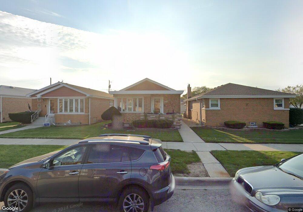
5204 S Mulligan Ave Chicago, IL 60638
Garfield Ridge NeighborhoodEstimated Value: $295,000 - $389,000
2
Beds
1
Bath
1,082
Sq Ft
$313/Sq Ft
Est. Value
About This Home
This home is located at 5204 S Mulligan Ave, Chicago, IL 60638 and is currently estimated at $338,588, approximately $312 per square foot. 5204 S Mulligan Ave is a home located in Cook County with nearby schools including Byrne Elementary School, Kennedy High School, and St Daniel The Prophet School.
Ownership History
Date
Name
Owned For
Owner Type
Purchase Details
Closed on
May 30, 2025
Sold by
Orozco Monico and Orozco Laura
Bought by
Orozco Family Trust and Orozco
Current Estimated Value
Purchase Details
Closed on
Dec 8, 1997
Sold by
Mazzone Clifford F
Bought by
Roa Luis P and Roa Mary F
Home Financials for this Owner
Home Financials are based on the most recent Mortgage that was taken out on this home.
Original Mortgage
$63,000
Interest Rate
7.35%
Purchase Details
Closed on
Dec 22, 1994
Sold by
Collins Kathleen M
Bought by
Mazzone Clifford F
Create a Home Valuation Report for This Property
The Home Valuation Report is an in-depth analysis detailing your home's value as well as a comparison with similar homes in the area
Home Values in the Area
Average Home Value in this Area
Purchase History
| Date | Buyer | Sale Price | Title Company |
|---|---|---|---|
| Orozco Family Trust | -- | None Listed On Document | |
| Roa Luis P | $143,000 | Chicago Title Insurance Co | |
| Mazzone Clifford F | -- | -- |
Source: Public Records
Mortgage History
| Date | Status | Borrower | Loan Amount |
|---|---|---|---|
| Previous Owner | Roa Luis P | $63,000 |
Source: Public Records
Tax History Compared to Growth
Tax History
| Year | Tax Paid | Tax Assessment Tax Assessment Total Assessment is a certain percentage of the fair market value that is determined by local assessors to be the total taxable value of land and additions on the property. | Land | Improvement |
|---|---|---|---|---|
| 2024 | $3,964 | $29,000 | $5,862 | $23,138 |
| 2023 | $3,843 | $22,000 | $5,234 | $16,766 |
| 2022 | $3,843 | $22,000 | $5,234 | $16,766 |
| 2021 | $3,754 | $21,999 | $5,233 | $16,766 |
| 2020 | $3,941 | $20,680 | $4,187 | $16,493 |
| 2019 | $3,953 | $22,978 | $4,187 | $18,791 |
| 2018 | $3,885 | $22,978 | $4,187 | $18,791 |
| 2017 | $3,458 | $19,335 | $3,768 | $15,567 |
| 2016 | $3,395 | $19,335 | $3,768 | $15,567 |
| 2015 | $3,085 | $19,335 | $3,768 | $15,567 |
| 2014 | $2,756 | $17,310 | $3,558 | $13,752 |
| 2013 | $2,692 | $17,310 | $3,558 | $13,752 |
Source: Public Records
Map
Nearby Homes
- 5142 S Mulligan Ave
- 5118 S Mobile Ave
- 5248 S Narragansett Ave
- 5141 S Merrimac Ave
- 5253 S Mobile Ave
- 5250 S Nagle Ave
- 5128 S Meade Ave
- 5112 S Nashville Ave
- 6340 S Archer Ave
- 5417 S Melvina Ave Unit 102
- 5137 S Rutherford Ave
- 5519 S Nashville Ave
- 5245 S Mayfield Ave
- 5621 S Moody Ave
- 5536 S Normandy Ave
- 5427 S Newcastle Ave
- 5637 S Natoma Ave
- 5850 W 55th St Unit 3D
- 5148 S Newland Ave
- 5108 S Massasoit Ave
- 5208 S Mulligan Ave
- 5200 S Mulligan Ave
- 5212 S Mulligan Ave
- 5216 S Mulligan Ave
- 5156 S Mulligan Ave
- 5220 S Mulligan Ave
- 5205 S Narragansett Ave
- 5201 S Narragansett Ave
- 5209 S Narragansett Ave
- 5211 S Narragansett Ave
- 5154 S Mulligan Ave
- 5215 S Narragansett Ave
- 5222 S Mulligan Ave
- 5152 S Mulligan Ave
- 5219 S Narragansett Ave
- 5205 S Mulligan Ave
- 5209 S Mulligan Ave
- 5201 S Mulligan Ave
- 5159 S Narragansett Ave
- 5213 S Mulligan Ave