Estimated Value: $307,140
Studio
1
Bath
1,177
Sq Ft
$261/Sq Ft
Est. Value
About This Home
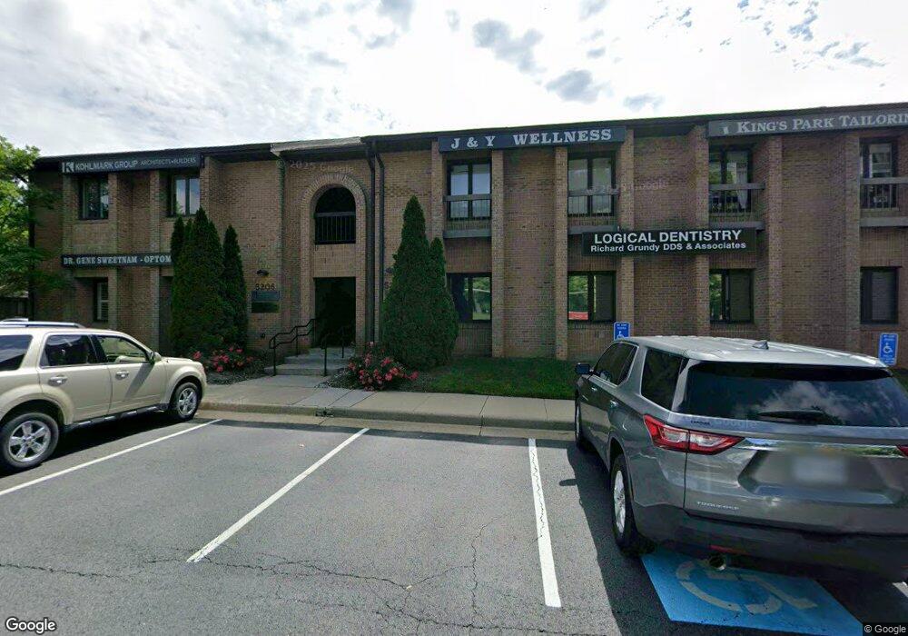
This home is located at 5204b Rolling Rd, Burke, VA 22015 and is currently estimated at $307,140, approximately $260 per square foot. 5204b Rolling Rd is a home located in Fairfax County with nearby schools including Kings Park Elementary School, Kings Glen Elementary School, and Lake Braddock Secondary School.
Ownership History
Date
Name
Owned For
Owner Type
Purchase Details
Closed on
Dec 7, 2018
Sold by
Jusdani 21 Llc
Bought by
Sweetnam Gene
Current Estimated Value
Home Financials for this Owner
Home Financials are based on the most recent Mortgage that was taken out on this home.
Original Mortgage
$225,000
Outstanding Balance
$198,230
Interest Rate
4.8%
Mortgage Type
New Conventional
Estimated Equity
$108,910
Create a Home Valuation Report for This Property
The Home Valuation Report is an in-depth analysis detailing your home's value as well as a comparison with similar homes in the area
Home Values in the Area
Average Home Value in this Area
Purchase History
| Date | Buyer | Sale Price | Title Company |
|---|---|---|---|
| Sweetnam Gene | $225,000 | Freedom Title Inc |
Source: Public Records
Mortgage History
| Date | Status | Borrower | Loan Amount |
|---|---|---|---|
| Open | Sweetnam Gene | $225,000 |
Source: Public Records
Tax History
| Year | Tax Paid | Tax Assessment Tax Assessment Total Assessment is a certain percentage of the fair market value that is determined by local assessors to be the total taxable value of land and additions on the property. | Land | Improvement |
|---|---|---|---|---|
| 2025 | $2,493 | $205,980 | $41,200 | $164,780 |
| 2024 | $2,493 | $194,210 | $38,840 | $155,370 |
| 2023 | $2,730 | $217,750 | $43,550 | $174,200 |
| 2022 | $3,359 | $264,830 | $52,970 | $211,860 |
| 2021 | $3,821 | $294,250 | $58,850 | $235,400 |
| 2020 | $3,850 | $294,250 | $58,850 | $235,400 |
| 2019 | $4,004 | $306,020 | $61,200 | $244,820 |
| 2018 | $3,519 | $306,020 | $61,200 | $244,820 |
| 2017 | $4,193 | $326,030 | $65,210 | $260,820 |
| 2016 | $3,777 | $294,250 | $58,850 | $235,400 |
Source: Public Records
Map
Nearby Homes
- 8933 Burke Lake Rd
- 8816 Victoria Rd
- 8806 Cromwell Dr
- 4901 Red Fox Dr
- 5207 Capon Hill Place
- 4962 Sabra Ln
- 8802 Parliament Dr
- 5407 Point Longstreet Way
- 9315 Winbourne Rd
- 5004 Prince Caspian Ln
- 8942 Kenilworth Dr
- 9010 Lake Braddock Dr
- 5506 Kempton Dr
- 5515 Westcliff Ct
- 5513 Westcliff Ct
- 9101 Blue Jug Landing
- 9438 Wallingford Dr
- 5460 Truxion Ct
- 5519 Yorkshire St
- 5482 Midship Ct
- 5204b Rolling Rd Unit 10
- 5202-B Rolling Rd
- 5202 Rolling Rd Unit A
- 5202 Rolling Rd
- 5204 Rolling Rd Unit 10
- 5204 Rolling Rd Unit 2
- 5204 Rolling Rd
- 5200-B Rolling Rd
- 5200 Rolling Rd Unit 12
- 5200-A Rolling Rd
- 5206-B Rolling Rd
- 5206-A Rolling Rd
- 5205 Lyngate Court B Unit 14
- 5205 Lyngate Ct Unit 14
- 5205-A Lyngate Ct
- 5205-B Lyngate Ct
- 5203 Lyngate Ct
- 5203-B Lyngate Ct
- 5203-A Lyngate Ct
- 5207B Lyngate Ct
Your Personal Tour Guide
Ask me questions while you tour the home.