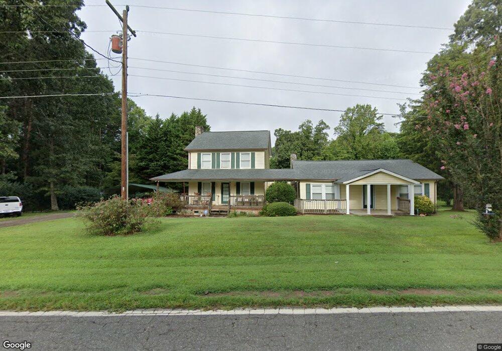
5205 Green Rd Stanley, NC 28164
Estimated Value: $266,000 - $278,000
3
Beds
2
Baths
1,400
Sq Ft
$195/Sq Ft
Est. Value
About This Home
This home is located at 5205 Green Rd, Stanley, NC 28164 and is currently estimated at $273,181, approximately $195 per square foot. 5205 Green Rd is a home located in Gaston County with nearby schools including Springfield Primary School, Kiser Elementary School, and Stanley Middle School.
Ownership History
Date
Name
Owned For
Owner Type
Purchase Details
Closed on
Oct 10, 2024
Sold by
Curtis Jerry Mark and Curtis Jacqueline Ann
Bought by
Curtis Jerry Mark and Curtis Jacqueline Ann
Current Estimated Value
Home Financials for this Owner
Home Financials are based on the most recent Mortgage that was taken out on this home.
Original Mortgage
$250,000
Outstanding Balance
$247,372
Interest Rate
6.35%
Mortgage Type
New Conventional
Estimated Equity
$25,809
Purchase Details
Closed on
Jul 11, 1995
Bought by
Curtis J Mark
Create a Home Valuation Report for This Property
The Home Valuation Report is an in-depth analysis detailing your home's value as well as a comparison with similar homes in the area
Home Values in the Area
Average Home Value in this Area
Purchase History
| Date | Buyer | Sale Price | Title Company |
|---|---|---|---|
| Curtis Jerry Mark | -- | None Listed On Document | |
| Curtis Jerry Mark | -- | None Listed On Document | |
| Curtis J Mark | $30,000 | -- |
Source: Public Records
Mortgage History
| Date | Status | Borrower | Loan Amount |
|---|---|---|---|
| Open | Curtis Jerry Mark | $250,000 | |
| Closed | Curtis Jerry Mark | $250,000 |
Source: Public Records
Tax History Compared to Growth
Tax History
| Year | Tax Paid | Tax Assessment Tax Assessment Total Assessment is a certain percentage of the fair market value that is determined by local assessors to be the total taxable value of land and additions on the property. | Land | Improvement |
|---|---|---|---|---|
| 2025 | $1,699 | $237,980 | $16,130 | $221,850 |
| 2024 | $1,699 | $237,980 | $16,130 | $221,850 |
| 2023 | $1,654 | $237,980 | $16,130 | $221,850 |
| 2022 | $1,126 | $122,400 | $11,630 | $110,770 |
| 2021 | $2,326 | $122,400 | $11,630 | $110,770 |
| 2019 | $1,125 | $122,400 | $11,630 | $110,770 |
| 2018 | $814 | $84,342 | $7,560 | $76,782 |
| 2017 | $814 | $84,342 | $7,560 | $76,782 |
| 2016 | $810 | $84,342 | $0 | $0 |
| 2014 | $828 | $86,749 | $12,210 | $74,539 |
Source: Public Records
Map
Nearby Homes
- 1049 Ramsey St
- 1118 Brookwood Dr
- 0001 Mayberry Rd
- 121 Alexis Forest Dr
- 103 Beechwood St
- 124 Riley Rd
- 103 Airport Rd
- 202 Hovis Rd
- 308 Taylor Dr
- 526 Mariposa Rd
- 633 N Main St
- 5139 Tommy Ln Unit 903
- 5149 Tommy Ln Unit 1102
- The Cypress Plan at Autumn Brook Townhomes - Parkside Series
- The Magnolia Plan at Autumn Brook Townhomes - Parkside Series
- The Norway Plan at Autumn Brook Townhomes - Parkside Series
- The Riverbirch Plan at Autumn Brook Townhomes - Parkside Series
- The Laurel Plan at Autumn Brook Townhomes - Parkside Series
- 5151 Tommy Ln Unit 1103
- 5153 Tommy Ln Unit 1104