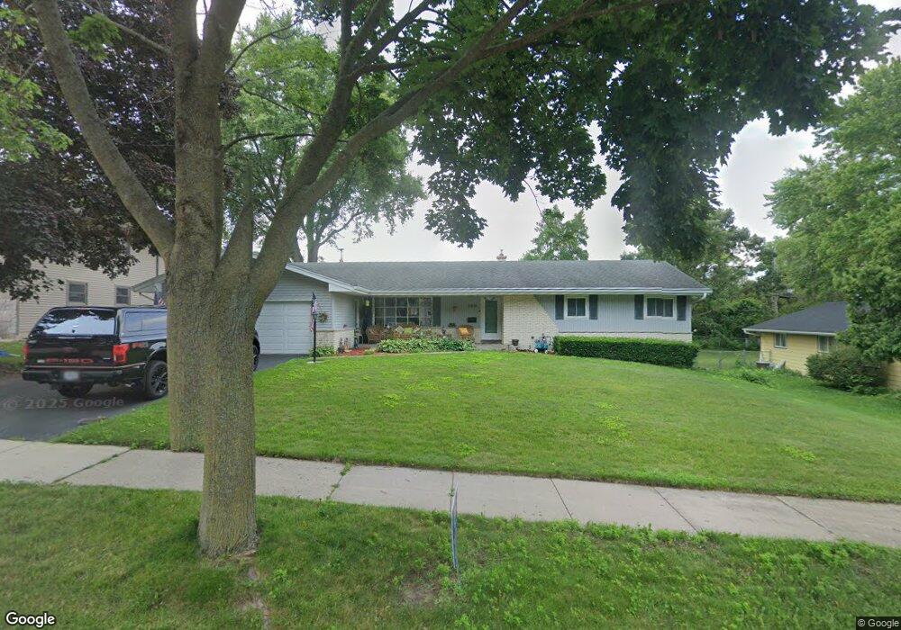
5209 Queensbridge Rd Madison, WI 53714
Heritage Heights NeighborhoodEstimated Value: $414,283 - $459,000
3
Beds
2
Baths
2,115
Sq Ft
$208/Sq Ft
Est. Value
About This Home
This home is located at 5209 Queensbridge Rd, Madison, WI 53714 and is currently estimated at $440,821, approximately $208 per square foot. 5209 Queensbridge Rd is a home located in Dane County with nearby schools including Kennedy Elementary School, Whitehorse Middle School, and La Follette High School.
Ownership History
Date
Name
Owned For
Owner Type
Purchase Details
Closed on
Aug 17, 2009
Sold by
Kamp Frederick A and Kamp Barbara A
Bought by
Gaona Bertha I
Current Estimated Value
Home Financials for this Owner
Home Financials are based on the most recent Mortgage that was taken out on this home.
Original Mortgage
$210,810
Outstanding Balance
$135,180
Interest Rate
5.29%
Mortgage Type
FHA
Estimated Equity
$305,641
Create a Home Valuation Report for This Property
The Home Valuation Report is an in-depth analysis detailing your home's value as well as a comparison with similar homes in the area
Home Values in the Area
Average Home Value in this Area
Purchase History
| Date | Buyer | Sale Price | Title Company |
|---|---|---|---|
| Gaona Bertha I | $214,700 | None Available |
Source: Public Records
Mortgage History
| Date | Status | Borrower | Loan Amount |
|---|---|---|---|
| Open | Gaona Bertha I | $210,810 |
Source: Public Records
Tax History
| Year | Tax Paid | Tax Assessment Tax Assessment Total Assessment is a certain percentage of the fair market value that is determined by local assessors to be the total taxable value of land and additions on the property. | Land | Improvement |
|---|---|---|---|---|
| 2025 | $7,523 | $422,800 | $76,200 | $346,600 |
| 2024 | $13,273 | $394,800 | $76,200 | $318,600 |
| 2023 | $6,307 | $362,200 | $69,900 | $292,300 |
| 2022 | $12,076 | $317,700 | $69,900 | $247,800 |
| 2021 | $5,873 | $286,200 | $63,000 | $223,200 |
| 2020 | $5,985 | $270,000 | $59,400 | $210,600 |
| 2019 | $5,559 | $254,700 | $56,000 | $198,700 |
| 2018 | $5,044 | $235,800 | $56,000 | $179,800 |
| 2017 | $5,023 | $224,600 | $50,900 | $173,700 |
| 2016 | $4,948 | $216,000 | $48,900 | $167,100 |
| 2015 | $4,824 | $197,800 | $48,900 | $148,900 |
| 2014 | $4,583 | $197,800 | $48,900 | $148,900 |
| 2013 | $4,569 | $197,800 | $48,900 | $148,900 |
Source: Public Records
Map
Nearby Homes
- 1002 Ellen Ave
- 5309 Portsmouth Way
- 4914 Retana Dr
- 617 Orion Trail
- 718 Orion Trail
- 4914 Ralph Cir
- 1133 Bonnie Ln
- 229 Crystal Ln
- 5902 Saturn Dr
- 410 Orion Trail
- 1306 Acewood Blvd
- 4706 Starker Ave
- 1606 Ellen Ave
- 318 Milky Way
- 5 Daffodil Ln
- 1314 Manassas Trail
- 317 Alton Dr
- 6010 Stoney Oak Ln
- 10 Kings Mill Cir Unit 304
- 5014 Trafalger Place
- 5205 Queensbridge Rd
- 5213 Queensbridge Rd
- 5214 Kingsbridge Rd
- 5210 Kingsbridge Rd
- 5218 Kingsbridge Rd
- 5117 Open Wood Way
- 5217 Queensbridge Rd
- 5210 Queensbridge Rd
- 5206 Kingsbridge Rd
- 5206 Queensbridge Rd
- 5222 Kingsbridge Rd
- 5214 Queensbridge Rd
- 5113 Open Wood Way
- 5202 Queensbridge Rd
- 5221 Queensbridge Rd
- 5218 Queensbridge Rd
- 5226 Kingsbridge Rd
- 5209 Knightsbridge Rd
- 5205 Knightsbridge Rd
- 5213 Knightsbridge Rd
Your Personal Tour Guide
Ask me questions while you tour the home.