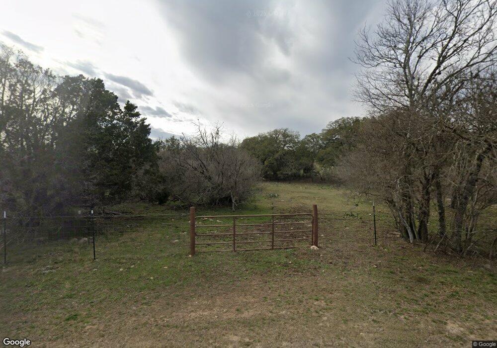
521 521 Dr Spring Branch, TX 78070
Hill Country NeighborhoodEstimated Value: $966,000 - $1,050,000
--
Bed
--
Bath
3,473
Sq Ft
$290/Sq Ft
Est. Value
About This Home
This home is located at 521 521 Dr, Spring Branch, TX 78070 and is currently estimated at $1,008,000, approximately $290 per square foot. 521 521 Dr is a home with nearby schools including Rebecca Creek Elementary School, Mt Valley Middle School, and Canyon Lake High School.
Ownership History
Date
Name
Owned For
Owner Type
Purchase Details
Closed on
Oct 30, 2018
Sold by
Polk Diane
Bought by
Polk Douglas Aaron and Polk Diane
Current Estimated Value
Home Financials for this Owner
Home Financials are based on the most recent Mortgage that was taken out on this home.
Original Mortgage
$551,682
Outstanding Balance
$483,100
Interest Rate
4.6%
Mortgage Type
Commercial
Estimated Equity
$524,900
Purchase Details
Closed on
Dec 14, 2005
Sold by
Bluegreen Southwest One Lp
Bought by
Polk Diane
Create a Home Valuation Report for This Property
The Home Valuation Report is an in-depth analysis detailing your home's value as well as a comparison with similar homes in the area
Home Values in the Area
Average Home Value in this Area
Purchase History
| Date | Buyer | Sale Price | Title Company |
|---|---|---|---|
| Polk Douglas Aaron | -- | Alamo Title | |
| Polk Diane | -- | New Braunfels Title Company |
Source: Public Records
Mortgage History
| Date | Status | Borrower | Loan Amount |
|---|---|---|---|
| Open | Polk Douglas Aaron | $551,682 |
Source: Public Records
Tax History Compared to Growth
Tax History
| Year | Tax Paid | Tax Assessment Tax Assessment Total Assessment is a certain percentage of the fair market value that is determined by local assessors to be the total taxable value of land and additions on the property. | Land | Improvement |
|---|---|---|---|---|
| 2025 | -- | $884,040 | -- | -- |
| 2024 | -- | $803,673 | -- | -- |
| 2023 | $10,914 | $730,612 | $0 | $0 |
| 2022 | $7,769 | $664,193 | -- | -- |
| 2021 | $10,756 | $608,640 | $67,720 | $540,920 |
| 2020 | $10,171 | $548,920 | $52,140 | $496,780 |
| 2019 | $900 | $47,400 | $47,400 | $0 |
| 2018 | $897 | $47,400 | $47,400 | $0 |
| 2017 | $693 | $36,890 | $36,890 | $0 |
| 2016 | $602 | $32,080 | $32,080 | $0 |
| 2015 | $602 | $32,080 | $32,080 | $0 |
| 2014 | $602 | $32,080 | $32,080 | $0 |
Source: Public Records
Map
Nearby Homes
- 335 Mystic Breeze
- 128 Milfoil Ln
- 239 Rosinweed Dr
- 211 Bindweed Ln
- 205 Bindweed Ln
- 233 Rosinweed Dr
- 1620 Point View
- 1234 Mystic Canyon
- 6136 Tanglewood Trail
- 267 Eagle Rock Rd
- 1652 Rimrock Cove
- 1628 Rimrock Cove
- 1053 High Point Ln
- 1107 Highpoint Ln
- 1071 Highpoint Ln
- 1544 Rimrock Cove
- 339 Granite Rd
- 1053 Live Oak Dr
- 123 Coneflower Dr
- 336 Lily St
- 515 Rosinweed Dr
- 527 Rosinweed Dr
- 514 Rosinweed Dr
- 520 Rosinweed Dr
- 412 Rosinweed Dr
- 503 Rosinweed Dr
- 357 Mystic Breeze
- 363 Mystic Breeze
- 355 Mystic Breeze
- 123 Milfoil Ln
- 413 Rosinweed Dr
- Lot 20 Canyon Heights
- 117 Milfoil Ln
- 111` Milfoil Ln
- 111 Milfoil Ln
- 377 Mystic Breeze
- 122 Beebalm Ln
- 389 Mystic Breeze
- 112 Victoria Ln
- 323 Rosinweed Dr
