521 Broderick Way Port Hueneme, CA 93041
Estimated Value: $666,000 - $714,656
2
Beds
2
Baths
1,372
Sq Ft
$509/Sq Ft
Est. Value
About This Home
This home is located at 521 Broderick Way, Port Hueneme, CA 93041 and is currently estimated at $698,414, approximately $509 per square foot. 521 Broderick Way is a home located in Ventura County with nearby schools including Marina West Elementary School, Oxnard High School, and St. Anthony's Elementary School.
Ownership History
Date
Name
Owned For
Owner Type
Purchase Details
Closed on
Mar 16, 2020
Sold by
Taylor Judith A and Judith A Taylor Trust
Bought by
Taylor Judith A
Current Estimated Value
Purchase Details
Closed on
Feb 13, 2020
Sold by
Taylor Judith A
Bought by
Taylor Judith A and Judith A Taylor Trust
Purchase Details
Closed on
Oct 1, 2009
Sold by
Taylor Judith A
Bought by
Taylor Judith A
Purchase Details
Closed on
Mar 11, 2009
Sold by
Taylor Judith A
Bought by
Taylor Judith A
Home Financials for this Owner
Home Financials are based on the most recent Mortgage that was taken out on this home.
Original Mortgage
$260,000
Outstanding Balance
$164,358
Interest Rate
5.02%
Mortgage Type
New Conventional
Estimated Equity
$534,056
Purchase Details
Closed on
Sep 20, 2007
Sold by
Taylor Judith A
Bought by
Taylor Judith A
Purchase Details
Closed on
Apr 18, 2007
Sold by
Turner Deborah L
Bought by
Taylor Judith A
Home Financials for this Owner
Home Financials are based on the most recent Mortgage that was taken out on this home.
Original Mortgage
$237,000
Interest Rate
6.37%
Mortgage Type
Purchase Money Mortgage
Purchase Details
Closed on
Dec 28, 2000
Sold by
Va
Bought by
Hubbert Robert H and Turner Hubbert Deborah L
Home Financials for this Owner
Home Financials are based on the most recent Mortgage that was taken out on this home.
Original Mortgage
$168,000
Interest Rate
7.71%
Purchase Details
Closed on
Nov 21, 2000
Sold by
Hubbert Robert H
Bought by
Hubbert Deborah L
Home Financials for this Owner
Home Financials are based on the most recent Mortgage that was taken out on this home.
Original Mortgage
$168,000
Interest Rate
7.71%
Purchase Details
Closed on
May 20, 1996
Sold by
Hubbert Robert H and Hubbert Deborah L
Bought by
Hubbert Robert H and Hubbert Deborah L
Home Financials for this Owner
Home Financials are based on the most recent Mortgage that was taken out on this home.
Original Mortgage
$50,000
Interest Rate
7.59%
Purchase Details
Closed on
Nov 1, 1994
Sold by
Mathieu Robert R
Bought by
Va
Purchase Details
Closed on
Feb 18, 1994
Sold by
Mathieu Cynthia R
Bought by
Mathieu Robert R
Create a Home Valuation Report for This Property
The Home Valuation Report is an in-depth analysis detailing your home's value as well as a comparison with similar homes in the area
Home Values in the Area
Average Home Value in this Area
Purchase History
| Date | Buyer | Sale Price | Title Company |
|---|---|---|---|
| Taylor Judith A | -- | Ticor Title | |
| Taylor Judith A | -- | Ticor Title | |
| Taylor Judith A | -- | None Available | |
| Taylor Judith A | -- | First American Title Company | |
| Taylor Judith A | -- | Accommodation | |
| Taylor Judith A | $477,000 | Equity Title Company | |
| Hubbert Robert H | -- | Fidelity National Title Co | |
| Hubbert Deborah L | -- | Fidelity National Title Co | |
| Hubbert Robert H | -- | United Title Company | |
| Va | $130,909 | Commonwealth Land Title Co | |
| Mathieu Robert R | -- | -- |
Source: Public Records
Mortgage History
| Date | Status | Borrower | Loan Amount |
|---|---|---|---|
| Open | Taylor Judith A | $260,000 | |
| Closed | Taylor Judith A | $237,000 | |
| Previous Owner | Hubbert Deborah L | $168,000 | |
| Previous Owner | Hubbert Robert H | $50,000 |
Source: Public Records
Tax History Compared to Growth
Tax History
| Year | Tax Paid | Tax Assessment Tax Assessment Total Assessment is a certain percentage of the fair market value that is determined by local assessors to be the total taxable value of land and additions on the property. | Land | Improvement |
|---|---|---|---|---|
| 2025 | $7,349 | $639,063 | $415,396 | $223,667 |
| 2024 | $7,349 | $605,000 | $393,000 | $212,000 |
| 2023 | $6,881 | $571,000 | $371,000 | $200,000 |
| 2022 | $6,543 | $553,000 | $359,000 | $194,000 |
| 2021 | $5,495 | $465,000 | $302,000 | $163,000 |
| 2020 | $5,252 | $445,000 | $289,000 | $156,000 |
| 2019 | $5,291 | $445,000 | $289,000 | $156,000 |
| 2018 | $4,635 | $386,000 | $251,000 | $135,000 |
| 2017 | $4,165 | $360,000 | $234,000 | $126,000 |
| 2016 | $4,291 | $370,000 | $241,000 | $129,000 |
| 2015 | $3,705 | $324,000 | $211,000 | $113,000 |
| 2014 | -- | $305,000 | $199,000 | $106,000 |
Source: Public Records
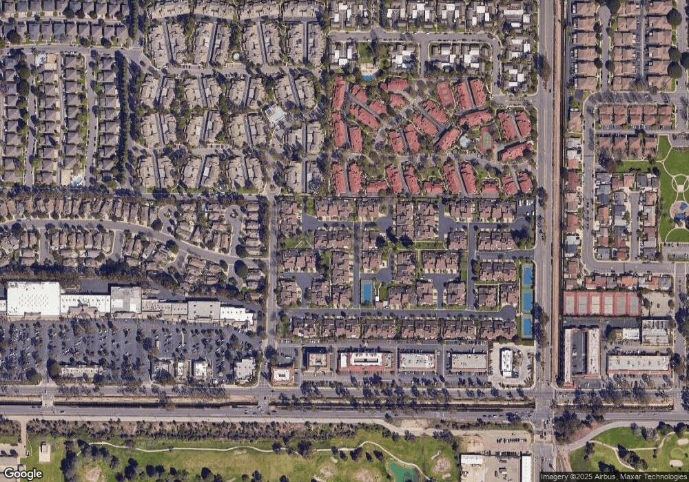
Map
Nearby Homes
- 541 Broderick Way
- 422 Las Palomas Dr
- 438 Las Palomas Dr
- 426 Reed Way
- 2622 Captains Ave
- 469 Corvette St
- 2633 Barnacle Cove
- 2755 Bolker Dr Unit A
- 2732 Bolker Dr
- 2466 Bolker Dr
- 2456 Bolker Dr
- 2754 Bolker Dr
- 676 Pacific Cove Dr
- 225 W Channel Islands Blvd
- 701 Halyard St
- 169 W Alta Green
- 162 W Alta Green
- 3610 Isle Way
- 82 W Garden Green
- 117 W Channel Islands Blvd
- 525 Broderick Way
- 529 Broderick Way
- 482 Broderick Way
- 533 Broderick Way
- 2535 Obers Place
- 537 Broderick Way
- 480 Broderick Way
- 2533 Obers Place
- 520 Broderick Way
- 485 Broderick Way
- 524 Broderick Way
- 2531 Obers Place
- 483 Rockman Way
- 476 Broderick Way
- 481 Rockman Way
- 528 Broderick Way
- 483 Broderick Way Unit 47
- 532 Broderick Way
- 2529 Obers Place
- 481 Broderick Way