521 Conrad Point Dr Lakeside, MT 59922
Estimated Value: $1,542,000 - $3,330,000
3
Beds
2
Baths
2,400
Sq Ft
$1,130/Sq Ft
Est. Value
About This Home
This home is located at 521 Conrad Point Dr, Lakeside, MT 59922 and is currently estimated at $2,711,937, approximately $1,129 per square foot. 521 Conrad Point Dr is a home located in Flathead County with nearby schools including Lakeside Elementary School, Somers Middle School, and Flathead High School.
Ownership History
Date
Name
Owned For
Owner Type
Purchase Details
Closed on
Apr 11, 2025
Sold by
Drescher Kevin B
Bought by
Drescher
Current Estimated Value
Purchase Details
Closed on
Feb 28, 2024
Sold by
Britton Leslie D
Bought by
Leslie D Britton Trust and Britton
Purchase Details
Closed on
Apr 12, 2021
Sold by
Drescher Marcia L and Drescher Kevin B
Bought by
Drescher Marcia L and Drescher Kevin B
Purchase Details
Closed on
Feb 1, 2013
Sold by
Drescher Philip C and Drescher Marcia L
Bought by
Drescher Kevin B and Drescher Michael P
Create a Home Valuation Report for This Property
The Home Valuation Report is an in-depth analysis detailing your home's value as well as a comparison with similar homes in the area
Home Values in the Area
Average Home Value in this Area
Purchase History
| Date | Buyer | Sale Price | Title Company |
|---|---|---|---|
| Drescher | -- | None Listed On Document | |
| Leslie D Britton Trust | -- | None Listed On Document | |
| Drescher Marcia L | -- | None Available | |
| Drescher Kevin B | -- | None Available |
Source: Public Records
Tax History
| Year | Tax Paid | Tax Assessment Tax Assessment Total Assessment is a certain percentage of the fair market value that is determined by local assessors to be the total taxable value of land and additions on the property. | Land | Improvement |
|---|---|---|---|---|
| 2025 | $19,922 | $3,067,350 | $0 | $0 |
| 2024 | $13,182 | $2,414,360 | $0 | $0 |
| 2023 | $13,255 | $2,414,360 | $0 | $0 |
| 2022 | $11,875 | $1,636,410 | $0 | $0 |
| 2021 | $12,873 | $1,636,410 | $0 | $0 |
| 2020 | $12,791 | $1,579,590 | $0 | $0 |
| 2019 | $12,312 | $1,579,590 | $0 | $0 |
| 2018 | $12,349 | $1,510,800 | $0 | $0 |
| 2017 | $11,385 | $1,510,800 | $0 | $0 |
| 2016 | $10,087 | $1,408,240 | $0 | $0 |
| 2015 | $10,454 | $1,408,240 | $0 | $0 |
| 2014 | $9,260 | $783,931 | $0 | $0 |
Source: Public Records
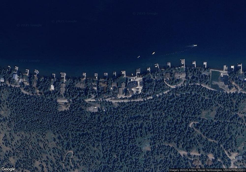
Map
Nearby Homes
- 27 Bayview Dr
- 480 Political Hill Rd
- 458 Political Hill Rd
- 66 Angel Point Rd
- 268 Tamarack Terrace Rd
- 272 Tamarack Terrace Rd
- 100 Political Hill Rd
- 103 Tamarack Woods Dr
- 240 Blacktail Rd
- 360 Ridge Line Dr
- 207 Stoner Loop Unit A
- 207 Angel Point Preserve
- 168 Angel Point Preserve
- 149 Monet Rd
- 351 Ridge Line Dr
- 7175 US Highway 93 S Unit 1-203
- 7175 US Highway 93 S Unit 4-301
- 7175 US Highway 93 S Unit 3-104
- 212 Bierney Creek Rd
- 124 Woodacres Dr
- 515 Conrad Point Dr
- 707 Conrad Point Rd
- 1 Conrad Point Rd
- 600 Conrad Point Rd
- 145 Conrad Point Rd
- 315 Conrad Point Rd
- NHN Conrad Point Dr
- 155 Conrad Point Rd
- 527 Conrad Point Dr
- 509 Conrad Point Dr
- 527 Conrad Point Rd
- 505 Conrad Point Dr
- 505 Conrad Point Dr
- 539 Conrad Point Dr
- 539 Conrad Point Dr
- 500 Conrad Point Dr
- 497 Conrad Point Dr
- 553 Conrad Point Dr
- 497 Conrad Point Dr
- 563 Conrad Point Dr
Your Personal Tour Guide
Ask me questions while you tour the home.