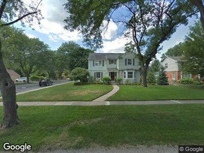
521 Fairfax St Birmingham, MI 48009
Estimated Value: $1,140,689 - $1,572,000
4
Beds
4
Baths
3,126
Sq Ft
$447/Sq Ft
Est. Value
About This Home
This home is located at 521 Fairfax St, Birmingham, MI 48009 and is currently estimated at $1,397,172, approximately $446 per square foot. 521 Fairfax St is a home located in Oakland County with nearby schools including Quarton Elementary, Derby Middle School, and Ernest W. Seaholm High School.
Ownership History
Date
Name
Owned For
Owner Type
Purchase Details
Closed on
Jan 15, 2003
Sold by
Ketchum Robert S and Ketchum Marilyn B
Bought by
Lydy David B and Lydy Amy Jo H
Current Estimated Value
Create a Home Valuation Report for This Property
The Home Valuation Report is an in-depth analysis detailing your home's value as well as a comparison with similar homes in the area
Home Values in the Area
Average Home Value in this Area
Purchase History
| Date | Buyer | Sale Price | Title Company |
|---|---|---|---|
| Lydy David B | $655,000 | First American Title Ins Co |
Source: Public Records
Mortgage History
| Date | Status | Borrower | Loan Amount |
|---|---|---|---|
| Open | Lydy David B | $100,000 | |
| Open | Lydy David B | $510,400 | |
| Closed | Lydy David B | $100,000 | |
| Closed | Lydy David | $50,000 | |
| Closed | Lydy David B | $616,125 | |
| Closed | Lydy David B | $175,000 | |
| Closed | Lydy David B | $125,000 | |
| Closed | Lydy David B | $100,000 |
Source: Public Records
Tax History Compared to Growth
Tax History
| Year | Tax Paid | Tax Assessment Tax Assessment Total Assessment is a certain percentage of the fair market value that is determined by local assessors to be the total taxable value of land and additions on the property. | Land | Improvement |
|---|---|---|---|---|
| 2024 | $11,352 | $429,920 | $0 | $0 |
| 2023 | $10,878 | $405,980 | $0 | $0 |
| 2022 | $11,663 | $391,990 | $0 | $0 |
| 2021 | $11,766 | $399,540 | $0 | $0 |
| 2020 | $10,483 | $413,860 | $0 | $0 |
| 2019 | $11,863 | $427,760 | $0 | $0 |
| 2018 | $11,697 | $416,380 | $0 | $0 |
| 2017 | $11,677 | $402,280 | $0 | $0 |
| 2016 | $11,698 | $397,140 | $0 | $0 |
| 2015 | -- | $353,440 | $0 | $0 |
| 2014 | -- | $327,750 | $0 | $0 |
| 2011 | -- | $249,150 | $0 | $0 |
Source: Public Records
Map
Nearby Homes
- 364 Chesterfield Ave
- 316 Chesterfield Ave
- 664 Chesterfield Ave
- 1834 Fairview St
- 1840 Fairview St
- 356 Pilgrim Ave
- 822 Suffield Ave
- 145 Westchester Way
- 120 Westchester Way
- 222 Arlington St
- 155 Westwood Dr
- 991 N Glenhurst Dr
- 350 Shirley Rd
- 592 Lakeside Dr
- 252 Linden Rd
- 2264 W Maple Rd
- 620 Lakeside Dr
- 394 S Glenhurst Dr
- 329 Linden Rd
- 404 Linden Rd
- 521 Fairfax St
- 555 Fairfax St
- 477 Fairfax St
- 514 Chesterfield Ave
- 593 Fairfax St Unit Bldg-Unit
- 593 Fairfax St
- 532 Chesterfield Ave
- 548 Chesterfield Ave
- 486 Chesterfield Ave
- 530 Fairfax St
- 455 Fairfax St
- 554 Fairfax St
- 621 Fairfax St
- 560 Chesterfield Ave
- 476 Fairfax St
- 440 Chesterfield Ave
- 586 Fairfax St
- 425 Fairfax St
- 454 Fairfax St
- 576 Chesterfield Ave