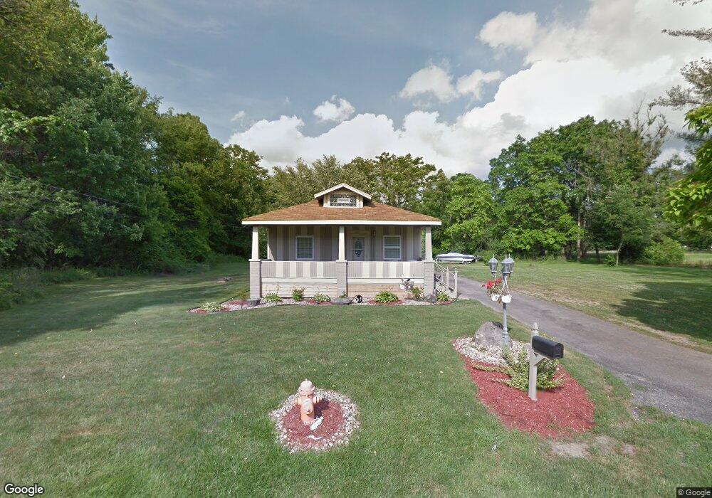
521 Forest Glen Ave Youngstown, OH 44505
McGuffey Heights NeighborhoodEstimated Value: $54,458 - $102,000
2
Beds
1
Bath
1,172
Sq Ft
$67/Sq Ft
Est. Value
About This Home
This home is located at 521 Forest Glen Ave, Youngstown, OH 44505 and is currently estimated at $78,615, approximately $67 per square foot. 521 Forest Glen Ave is a home located in Mahoning County with nearby schools including M.L. King Elementary School, Williamson Elementary School, and East High School.
Ownership History
Date
Name
Owned For
Owner Type
Purchase Details
Closed on
Dec 31, 2024
Sold by
Marchae Homes Llc
Bought by
Scott Maria
Current Estimated Value
Purchase Details
Closed on
Nov 1, 2021
Bought by
Marchae Homes Llc
Purchase Details
Closed on
Aug 21, 2011
Sold by
Rodgers Ron O and Jenkins Tanikua
Bought by
Womack Craig A
Purchase Details
Closed on
Dec 1, 1999
Sold by
Promise Land Development Company Inc
Bought by
Rodgers Ron O
Purchase Details
Closed on
Jun 3, 1999
Sold by
Molnar Susan J and Smith Susan Jayne
Bought by
Promised Land Development Inc
Home Financials for this Owner
Home Financials are based on the most recent Mortgage that was taken out on this home.
Original Mortgage
$8,000
Interest Rate
6.94%
Purchase Details
Closed on
Jun 26, 1990
Bought by
Milnar Susan J
Create a Home Valuation Report for This Property
The Home Valuation Report is an in-depth analysis detailing your home's value as well as a comparison with similar homes in the area
Home Values in the Area
Average Home Value in this Area
Purchase History
| Date | Buyer | Sale Price | Title Company |
|---|---|---|---|
| Scott Maria | $70,000 | None Listed On Document | |
| Scott Maria | $70,000 | None Listed On Document | |
| Marchae Homes Llc | -- | -- | |
| Womack Craig A | $3,000 | None Available | |
| Rodgers Ron O | $37,000 | -- | |
| Promised Land Development Inc | $10,000 | -- | |
| Milnar Susan J | -- | -- |
Source: Public Records
Mortgage History
| Date | Status | Borrower | Loan Amount |
|---|---|---|---|
| Previous Owner | Promised Land Development Inc | $8,000 |
Source: Public Records
Tax History Compared to Growth
Tax History
| Year | Tax Paid | Tax Assessment Tax Assessment Total Assessment is a certain percentage of the fair market value that is determined by local assessors to be the total taxable value of land and additions on the property. | Land | Improvement |
|---|---|---|---|---|
| 2024 | $325 | $6,610 | $640 | $5,970 |
| 2023 | $323 | $6,610 | $640 | $5,970 |
| 2022 | $134 | $2,080 | $550 | $1,530 |
| 2021 | $130 | $2,080 | $550 | $1,530 |
| 2020 | $131 | $2,080 | $550 | $1,530 |
| 2019 | $138 | $1,930 | $510 | $1,420 |
| 2018 | $161 | $1,930 | $510 | $1,420 |
| 2017 | $148 | $1,930 | $510 | $1,420 |
| 2016 | $159 | $2,420 | $510 | $1,910 |
| 2015 | $163 | $2,420 | $510 | $1,910 |
| 2014 | $154 | $2,420 | $510 | $1,910 |
| 2013 | $152 | $2,420 | $510 | $1,910 |
Source: Public Records
Map
Nearby Homes
- 1214 Brighton St
- 1003 Liberty Rd
- 1720 Jacobs Rd
- 2051 Blair Ave
- 1325 Miami Ave
- 2951 Megan Cir
- V/L Jacobs Rd
- 2831 Benford Ln
- 2954 Megan Cir
- 902 Miami St
- 227 Greeley Ln
- 405 Drake Ave
- 1538 Republic Ave
- 566 Sunshine Ave
- 71 Duncan Ln
- 332 Lansdowne Blvd
- OL 38 Mccartney Rd
- 0 Homestead Rd
- 665 Wendemere Dr
- 1125 N Garland Ave
- 2900 McGuffey Rd
- 2848 McGuffey Rd
- 1200 Forest Glen Ave
- 2833 Baker St
- 2829 Baker St
- 2830 McGuffey Rd
- 2826 Baker St
- 2849 McGuffey Rd
- 2923 McGuffey Rd
- 2845 McGuffey Rd
- 2933 McGuffey Rd
- 2841 McGuffey Rd
- 2853 McGuffey Rd
- 2835 McGuffey Rd
- 3818 Baker St
- 2810 McGuffey Rd
- 2819 McGuffey Rd
- 2776 Baker St
- 2920 Arcadia Ave
- 2811 McGuffey Rd