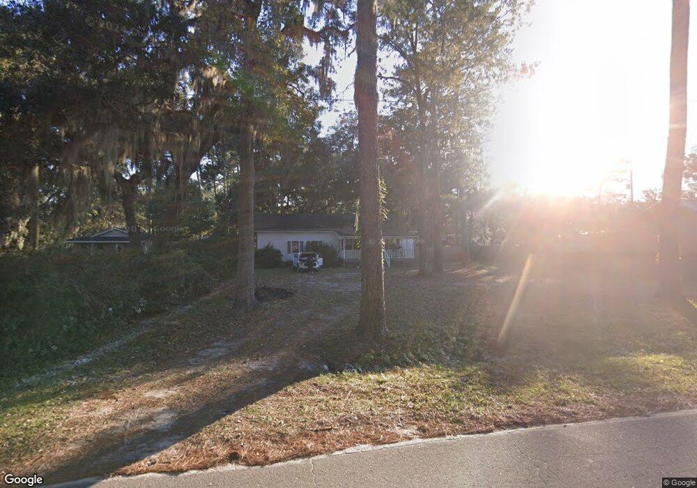
521 Jerico Dr Midway, GA 31320
Estimated Value: $215,000 - $280,121
3
Beds
2
Baths
1,344
Sq Ft
$181/Sq Ft
Est. Value
About This Home
This home is located at 521 Jerico Dr, Midway, GA 31320 and is currently estimated at $243,530, approximately $181 per square foot. 521 Jerico Dr is a home located in Liberty County with nearby schools including Liberty Elementary School, Midway Middle School, and Liberty County High School.
Ownership History
Date
Name
Owned For
Owner Type
Purchase Details
Closed on
May 31, 2023
Sold by
Smith Michael G
Bought by
Jones Travis
Current Estimated Value
Home Financials for this Owner
Home Financials are based on the most recent Mortgage that was taken out on this home.
Original Mortgage
$265,590
Outstanding Balance
$258,488
Interest Rate
6.39%
Mortgage Type
VA
Estimated Equity
-$14,958
Purchase Details
Closed on
Apr 23, 2010
Sold by
Sheppard Velma Faye
Bought by
Smith Michael G and Smith Electra
Purchase Details
Closed on
Nov 22, 1996
Bought by
Sheppard William P
Create a Home Valuation Report for This Property
The Home Valuation Report is an in-depth analysis detailing your home's value as well as a comparison with similar homes in the area
Home Values in the Area
Average Home Value in this Area
Purchase History
| Date | Buyer | Sale Price | Title Company |
|---|---|---|---|
| Jones Travis | $260,000 | -- | |
| Smith Michael G | $60,000 | -- | |
| Sheppard William P | $16,300 | -- |
Source: Public Records
Mortgage History
| Date | Status | Borrower | Loan Amount |
|---|---|---|---|
| Open | Jones Travis | $265,590 |
Source: Public Records
Tax History Compared to Growth
Tax History
| Year | Tax Paid | Tax Assessment Tax Assessment Total Assessment is a certain percentage of the fair market value that is determined by local assessors to be the total taxable value of land and additions on the property. | Land | Improvement |
|---|---|---|---|---|
| 2024 | $1,986 | $43,779 | $10,591 | $33,188 |
| 2023 | $1,986 | $38,028 | $10,591 | $27,437 |
| 2022 | $1,942 | $45,930 | $10,591 | $35,339 |
| 2021 | $1,566 | $36,296 | $6,778 | $29,518 |
| 2020 | $1,445 | $33,275 | $5,719 | $27,556 |
| 2019 | $1,427 | $33,674 | $5,719 | $27,955 |
| 2018 | $1,381 | $32,841 | $5,719 | $27,122 |
| 2017 | $1,138 | $34,545 | $9,542 | $25,003 |
| 2016 | $1,367 | $34,893 | $9,542 | $25,350 |
| 2015 | $1,381 | $36,046 | $10,696 | $25,350 |
| 2014 | $1,381 | $34,940 | $8,556 | $26,384 |
| 2013 | -- | $32,815 | $8,556 | $24,259 |
Source: Public Records
Map
Nearby Homes
- 63 Wye Rd
- 87 Wye Rd
- 85 Wye Rd
- 967 Lake Dr
- 1613 Lake Dr
- 169 Blue Jay Dr
- 1370 Lake Dr
- 24 Jerico Marsh Lot 24 Rd
- 70 1st St
- lot 2 Oak Island Dr
- 46 Outpost Trail
- 221 Outpost Trail
- 0 Palm Island Dr Unit 160024
- 0 Palm Island Dr Unit 328180
- 132 River Rd
- 99 Caraway Ct
- 42 Greenwood
- 514 W 1st St
- 35/36 W 1st St Unit 35/36
- 142 Oak Harvest Ridge