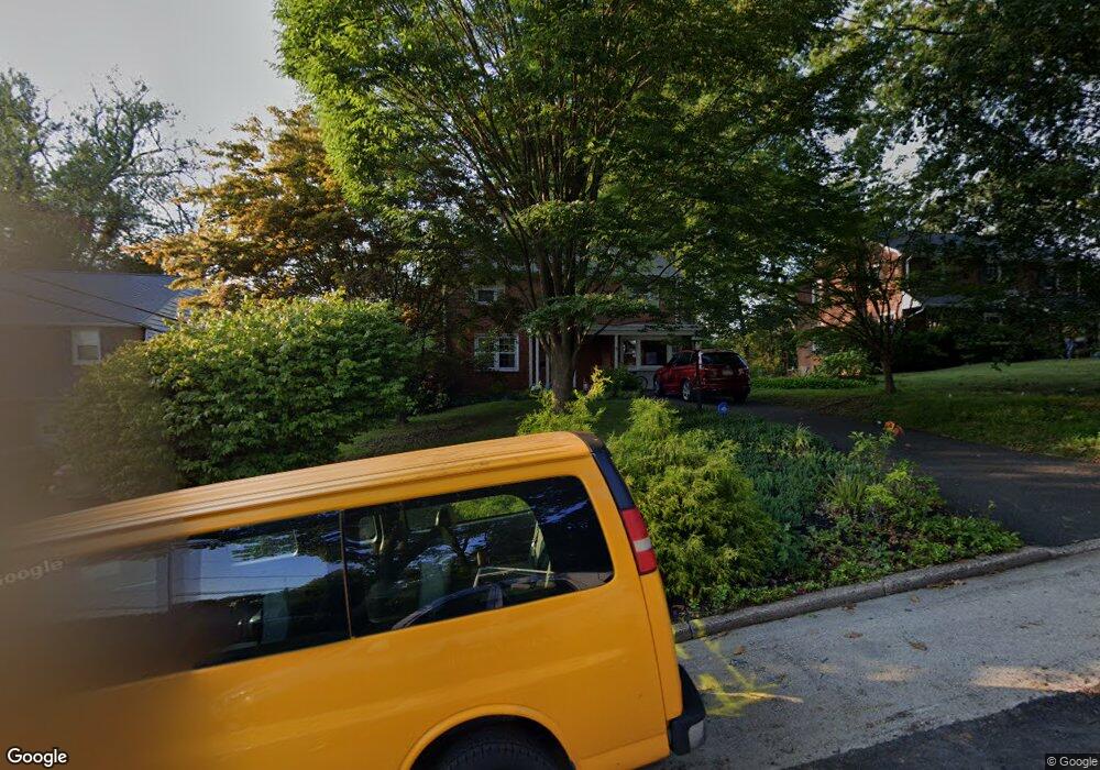
521 Lindley Rd Glenside, PA 19038
Estimated Value: $509,000 - $560,000
4
Beds
2
Baths
1,830
Sq Ft
$288/Sq Ft
Est. Value
About This Home
This home is located at 521 Lindley Rd, Glenside, PA 19038 and is currently estimated at $527,266, approximately $288 per square foot. 521 Lindley Rd is a home located in Montgomery County with nearby schools including Elkins Park School, Cedarbrook Middle School, and Cheltenham High School.
Ownership History
Date
Name
Owned For
Owner Type
Purchase Details
Closed on
May 29, 2020
Sold by
Mcfarland Gerald and Mcfarland Beverly
Bought by
Heilmann Casey C and Heilmann Erin E
Current Estimated Value
Home Financials for this Owner
Home Financials are based on the most recent Mortgage that was taken out on this home.
Original Mortgage
$260,000
Outstanding Balance
$230,900
Interest Rate
3.3%
Mortgage Type
New Conventional
Estimated Equity
$296,366
Purchase Details
Closed on
Oct 31, 1995
Sold by
Pinto Albert H and Pinto Eleanor F
Bought by
Mcfarland Gerald and Mcfarland Beverly
Purchase Details
Closed on
Oct 24, 1995
Sold by
Krause William R and Krause Barbara R
Bought by
Pinto Alberth H and Pinto Eleanor F
Create a Home Valuation Report for This Property
The Home Valuation Report is an in-depth analysis detailing your home's value as well as a comparison with similar homes in the area
Home Values in the Area
Average Home Value in this Area
Purchase History
| Date | Buyer | Sale Price | Title Company |
|---|---|---|---|
| Heilmann Casey C | $315,000 | None Available | |
| Mcfarland Gerald | $165,000 | T A Title Insurance Company | |
| Pinto Alberth H | -- | T A Title Insurance Company |
Source: Public Records
Mortgage History
| Date | Status | Borrower | Loan Amount |
|---|---|---|---|
| Open | Heilmann Casey C | $260,000 |
Source: Public Records
Tax History Compared to Growth
Tax History
| Year | Tax Paid | Tax Assessment Tax Assessment Total Assessment is a certain percentage of the fair market value that is determined by local assessors to be the total taxable value of land and additions on the property. | Land | Improvement |
|---|---|---|---|---|
| 2025 | $10,531 | $157,690 | $57,230 | $100,460 |
| 2024 | $10,531 | $157,690 | $57,230 | $100,460 |
| 2023 | $10,413 | $157,690 | $57,230 | $100,460 |
| 2022 | $10,234 | $157,690 | $57,230 | $100,460 |
| 2021 | $9,954 | $157,690 | $57,230 | $100,460 |
| 2020 | $9,667 | $157,690 | $57,230 | $100,460 |
| 2019 | $9,474 | $157,690 | $57,230 | $100,460 |
| 2018 | $2,677 | $157,690 | $57,230 | $100,460 |
| 2017 | $9,045 | $157,690 | $57,230 | $100,460 |
| 2016 | $8,983 | $157,690 | $57,230 | $100,460 |
| 2015 | $8,566 | $157,690 | $57,230 | $100,460 |
| 2014 | $8,566 | $157,690 | $57,230 | $100,460 |
Source: Public Records
Map
Nearby Homes
- 516 Beaver Rd
- 504 Plymouth Rd
- 446 Twickenham Rd
- 65 Limekiln Pike
- 407 W Waverly Rd
- 711 Custis Rd
- 2541 Church Rd
- 1943 Fawn Dr
- 230 Harrison Ave
- 229 Edge Hill Rd
- 20 W Waverly Rd
- 0 Logan Ave Unit PAMC2112680
- 2444 Fairhill Ave
- 221 S Easton Rd
- 221 Central Ave
- 119 S Easton Rd
- 1003 Church Rd
- 120 Linden Ave
- 222 Ruscombe Ave
- 140 Linden Ave