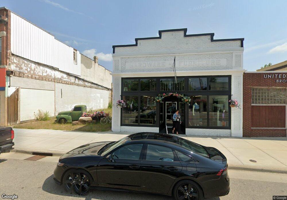
521 Main St S Browerville, MN 56438
Estimated Value: $67,533
Studio
--
Bath
2,392
Sq Ft
$28/Sq Ft
Est. Value
About This Home
This home is located at 521 Main St S, Browerville, MN 56438 and is currently priced at $67,533, approximately $28 per square foot. 521 Main St S is a home located in Todd County with nearby schools including Browerville Elementary School and Browerville Secondary School.
Ownership History
Date
Name
Owned For
Owner Type
Purchase Details
Closed on
Feb 2, 2023
Sold by
Rinde Jeffrey A and Rinde Lindsey L
Bought by
Sojjb Llc
Current Estimated Value
Home Financials for this Owner
Home Financials are based on the most recent Mortgage that was taken out on this home.
Original Mortgage
$36,000
Outstanding Balance
$28,389
Interest Rate
5.14%
Mortgage Type
New Conventional
Purchase Details
Closed on
Feb 1, 2018
Sold by
Johnson Revocable Living Trust
Bought by
Rinde Jeff and Rinde Lindsey
Create a Home Valuation Report for This Property
The Home Valuation Report is an in-depth analysis detailing your home's value as well as a comparison with similar homes in the area
Purchase History
| Date | Buyer | Sale Price | Title Company |
|---|---|---|---|
| Sojjb Llc | $500 | Home Town Abstract & Title | |
| May Jacob M | $60,000 | Home Town Abstract & Title | |
| Rinde Jeff | -- | Home Town Abstract Title |
Source: Public Records
Mortgage History
| Date | Status | Borrower | Loan Amount |
|---|---|---|---|
| Open | Sojjb Llc | $36,000 |
Source: Public Records
Tax History
| Year | Tax Paid | Tax Assessment Tax Assessment Total Assessment is a certain percentage of the fair market value that is determined by local assessors to be the total taxable value of land and additions on the property. | Land | Improvement |
|---|---|---|---|---|
| 2025 | $1,410 | $59,000 | $2,400 | $56,600 |
| 2024 | $1,282 | $60,600 | $2,400 | $58,200 |
| 2023 | $864 | $54,100 | $2,400 | $51,700 |
| 2022 | $750 | $32,800 | $2,400 | $30,400 |
| 2021 | $753 | $23,800 | $2,400 | $21,400 |
| 2020 | $784 | $24,000 | $2,400 | $21,600 |
| 2019 | $896 | $24,100 | $2,400 | $21,700 |
| 2018 | $788 | $26,900 | $2,400 | $24,500 |
| 2017 | $1,094 | $21,500 | $2,400 | $19,100 |
| 2016 | $1,064 | $26,100 | $2,400 | $23,700 |
| 2015 | $1,118 | $0 | $0 | $0 |
| 2014 | -- | $0 | $0 | $0 |
Source: Public Records
Map
Nearby Homes
- 541 Creamery Ln S
- 33896 County 21
- TBD County 61
- 33558 251st Ave
- 0000 County 61
- 24355 350th St
- TBD 350th St
- 27075 221st Ave
- 27417 County 89
- 102 Robert St S
- 307 Leslie Ave W
- xxx Oriole Ct
- TBD County 29
- XXX County 29
- 18398 360th St
- 315 7th St NE
- 915 4th Ave NE
- 111 3rd St N
- 517 Central Ave
- 516 1st Ave SE
- 531 Main St S
- 541 Main St S
- 503 Main St S
- 0 Unassigned Address Unit 4035286
- 0 Unassigned Address Unit 4188369
- 0 Unassigned Address Unit 4192656
- 18 Pine Island Heights
- 0 Lot 11 Blk 6 Sylvan Shores Unit 3484154
- 0 Unassigned Address Unit 3530156
- 0 Unassigned Address Unit 4400557
- 111 6th St E
- 545 Main St S
- 500 Railroad Ave S
- 524 Main St S
- 13377 Falcon Dr
- 601 Main St N
- 121 5th St E
- 605 Highway 71 W
- 605 Hwy 71 W
- 600 & 602 Main St N
Your Personal Tour Guide
Ask me questions while you tour the home.