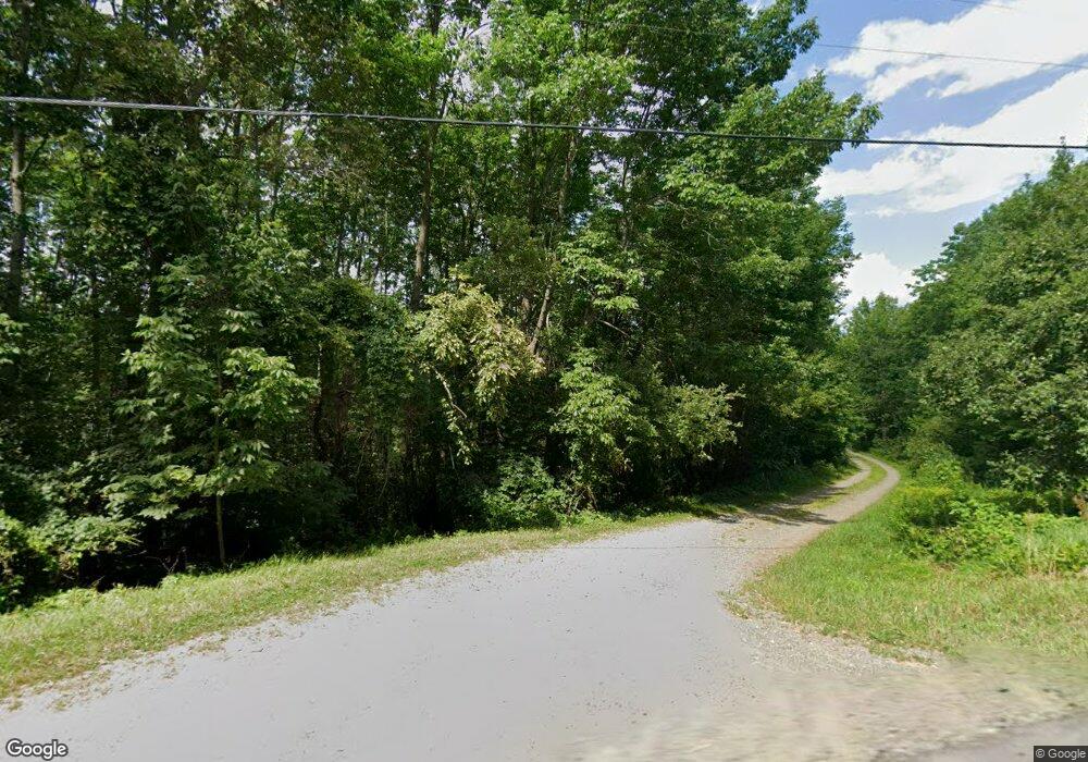
521 Miles Rd Dixmont, ME 04932
Estimated Value: $212,000 - $720,000
Studio
--
Bath
--
Sq Ft
136.8
Acres
About This Home
This home is located at 521 Miles Rd, Dixmont, ME 04932 and is currently estimated at $434,250. 521 Miles Rd is a home with nearby schools including Nokomis Regional Middle School/High School.
Ownership History
Date
Name
Owned For
Owner Type
Purchase Details
Closed on
Dec 10, 2024
Sold by
Jane F Curtis Lt and Mcquilkin
Bought by
Porter Peter M and Porter Lorilei T
Current Estimated Value
Home Financials for this Owner
Home Financials are based on the most recent Mortgage that was taken out on this home.
Original Mortgage
$110,000
Outstanding Balance
$109,135
Interest Rate
6.79%
Mortgage Type
Purchase Money Mortgage
Estimated Equity
$325,115
Create a Home Valuation Report for This Property
The Home Valuation Report is an in-depth analysis detailing your home's value as well as a comparison with similar homes in the area
Purchase History
| Date | Buyer | Sale Price | Title Company |
|---|---|---|---|
| Porter Peter M | -- | None Available | |
| Porter Peter M | -- | None Available |
Source: Public Records
Mortgage History
| Date | Status | Borrower | Loan Amount |
|---|---|---|---|
| Open | Porter Peter M | $110,000 | |
| Closed | Porter Peter M | $110,000 |
Source: Public Records
Tax History
| Year | Tax Paid | Tax Assessment Tax Assessment Total Assessment is a certain percentage of the fair market value that is determined by local assessors to be the total taxable value of land and additions on the property. | Land | Improvement |
|---|---|---|---|---|
| 2024 | $3,796 | $351,440 | $173,930 | $177,510 |
| 2023 | $3,540 | $260,330 | $128,840 | $131,490 |
| 2022 | $3,384 | $260,330 | $128,840 | $131,490 |
| 2021 | $3,384 | $260,330 | $128,840 | $131,490 |
| 2020 | $3,384 | $260,330 | $128,840 | $131,490 |
| 2019 | $3,361 | $274,330 | $142,840 | $131,490 |
| 2018 | $3,086 | $274,327 | $142,840 | $131,487 |
| 2017 | $2,866 | $233,990 | $89,110 | $144,880 |
| 2016 | $2,501 | $222,330 | $89,110 | $133,220 |
| 2015 | $2,279 | $222,330 | $89,110 | $133,220 |
| 2014 | $2,446 | $222,330 | $89,110 | $133,220 |
Source: Public Records
Map
Nearby Homes
- 15 Cottrell Rd
- 296 Western Ave
- 1083 North Rd
- 60 Swett Rd
- Lot 3 & 4 Nason Hill Rd
- 165 Red School House Rd
- 951 Moosehead Trail
- TBD North Rd
- 678 Moosehead Trail
- 130 Kennard Rd
- 1257 Moosehead Trail Hwy
- 1095 Dixmont Rd
- M 4 L 43 Off Route 9 and Route 7
- 2514 Western Ave
- 68 Old Farm Rd
- 2490 Western Ave
- M10L30 Troy Center Rd
- M4L3,5 Fickett Rd
- 9-6 Page Rd
- 905 W Plymouth Rd
- 516 Miles Rd
- 540 Miles Rd
- 492 Miles Rd
- 29 Blueberry
- 577 Miles Rd
- 41 Old County Rd N
- 4 Smith Rd
- 484 Miles Rd
- 20 Smith Rd
- 580 Simpson Corner Rd
- 417 Miles Rd
- 414 Miles Rd
- 457 Simpson Corner Rd
- 34 Smith Rd
- 91 Old County Rd N
- 451 Simpson Corner Rd
- 621 Simpson Corner Rd
- 386 Miles Rd
- 444 Simpson Corner Rd
- 51 Smith Rd
Your Personal Tour Guide
Ask me questions while you tour the home.
