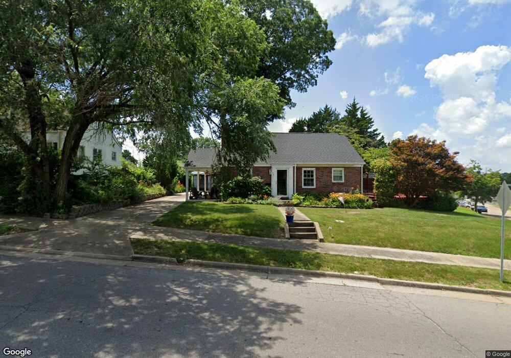
521 N Sunset Blvd Cape Girardeau, MO 63701
Estimated Value: $131,000 - $207,000
2
Beds
3
Baths
1,785
Sq Ft
$98/Sq Ft
Est. Value
About This Home
This home is located at 521 N Sunset Blvd, Cape Girardeau, MO 63701 and is currently estimated at $175,354, approximately $98 per square foot. 521 N Sunset Blvd is a home located in Cape Girardeau County with nearby schools including Franklin Elementary School, Central Middle School, and Central Junior High School.
Ownership History
Date
Name
Owned For
Owner Type
Purchase Details
Closed on
Jun 2, 2008
Sold by
Watson John Bruce and Watson Cynthia Anne
Bought by
Flaherty Deanna L
Current Estimated Value
Home Financials for this Owner
Home Financials are based on the most recent Mortgage that was taken out on this home.
Original Mortgage
$124,000
Outstanding Balance
$79,652
Interest Rate
6.07%
Mortgage Type
New Conventional
Estimated Equity
$95,702
Create a Home Valuation Report for This Property
The Home Valuation Report is an in-depth analysis detailing your home's value as well as a comparison with similar homes in the area
Home Values in the Area
Average Home Value in this Area
Purchase History
| Date | Buyer | Sale Price | Title Company |
|---|---|---|---|
| Flaherty Deanna L | -- | None Available |
Source: Public Records
Mortgage History
| Date | Status | Borrower | Loan Amount |
|---|---|---|---|
| Open | Flaherty Deanna L | $124,000 |
Source: Public Records
Tax History Compared to Growth
Tax History
| Year | Tax Paid | Tax Assessment Tax Assessment Total Assessment is a certain percentage of the fair market value that is determined by local assessors to be the total taxable value of land and additions on the property. | Land | Improvement |
|---|---|---|---|---|
| 2025 | $11 | $22,810 | $1,320 | $21,490 |
| 2024 | $11 | $21,730 | $1,260 | $20,470 |
| 2023 | $1,129 | $21,730 | $1,260 | $20,470 |
| 2022 | $1,042 | $20,030 | $1,160 | $18,870 |
| 2021 | $1,041 | $20,030 | $1,160 | $18,870 |
| 2020 | $1,044 | $20,030 | $1,160 | $18,870 |
| 2019 | $1,043 | $20,030 | $0 | $0 |
| 2018 | $1,041 | $20,030 | $0 | $0 |
| 2017 | $1,043 | $20,030 | $0 | $0 |
| 2016 | $1,039 | $20,030 | $0 | $0 |
| 2015 | $1,040 | $20,030 | $0 | $0 |
| 2014 | $1,045 | $20,030 | $0 | $0 |
Source: Public Records
Map
Nearby Homes
- 1738 Luce St
- 701 Penny Ave
- 1742 Dunklin St
- 1401 Bessie St
- 1522 Independence St
- 1419 Themis St
- 1455 Whitener St
- 1958 Dunklin St
- 242 Orange Bowl Dr
- 381 N Park Ave
- 303 Orange Bowl Dr
- 374 N Park Ave
- 12 N West End Blvd
- 2416 Terrie Hill Rd
- 208 Louis St
- 63 N Hanover St
- 1814 Ricardo Dr
- 1210 Perryville Rd
- 1219 Merriwether St
- 123 S Park Ave
- 1807 Lacey St
- 519 N Sunset Blvd
- 1809 Lacey St
- 601 N Sunset Blvd
- 1817 Lacey St
- 1816 Thilenius St
- 607 N Sunset Blvd
- 1832 Thilenius St
- 1814 Thilenius St
- 1826 Thilenius St
- 1818 Lacey St
- 1821 Lacey St
- 1810 Thilenius St
- 1802 Thilenius St
- 1820 Lacey St
- 1834 Thilenius St
- 1827 Lacey St
- 1844 Thilenius St
- 1822 Lacey St
- 1835 Lacey St