521 Nantucket Dr Unit 12 Lansing, MI 48906
Eastfield NeighborhoodEstimated Value: $291,174 - $333,000
3
Beds
3
Baths
2,006
Sq Ft
$154/Sq Ft
Est. Value
About This Home
This home is located at 521 Nantucket Dr Unit 12, Lansing, MI 48906 and is currently estimated at $308,544, approximately $153 per square foot. 521 Nantucket Dr Unit 12 is a home located in Ingham County with nearby schools including Pattengill Academy, Riddle Elementary School, and Eastern High School.
Ownership History
Date
Name
Owned For
Owner Type
Purchase Details
Closed on
Dec 7, 2007
Sold by
B K G Lansing Llc
Bought by
Washington Frank L and Washington Josephine J
Current Estimated Value
Home Financials for this Owner
Home Financials are based on the most recent Mortgage that was taken out on this home.
Original Mortgage
$144,500
Outstanding Balance
$91,510
Interest Rate
6.31%
Estimated Equity
$217,034
Create a Home Valuation Report for This Property
The Home Valuation Report is an in-depth analysis detailing your home's value as well as a comparison with similar homes in the area
Home Values in the Area
Average Home Value in this Area
Purchase History
| Date | Buyer | Sale Price | Title Company |
|---|---|---|---|
| Washington Frank L | $194,500 | Metropolitan Title Company |
Source: Public Records
Mortgage History
| Date | Status | Borrower | Loan Amount |
|---|---|---|---|
| Open | Washington Frank L | $144,500 |
Source: Public Records
Tax History Compared to Growth
Tax History
| Year | Tax Paid | Tax Assessment Tax Assessment Total Assessment is a certain percentage of the fair market value that is determined by local assessors to be the total taxable value of land and additions on the property. | Land | Improvement |
|---|---|---|---|---|
| 2025 | $5,074 | $150,500 | $11,800 | $138,700 |
| 2024 | $41 | $129,700 | $11,800 | $117,900 |
| 2023 | $4,754 | $114,500 | $11,800 | $102,700 |
| 2022 | $4,279 | $95,400 | $9,000 | $86,400 |
| 2021 | $4,190 | $92,600 | $9,000 | $83,600 |
| 2020 | $4,165 | $91,400 | $9,000 | $82,400 |
| 2019 | $3,996 | $90,600 | $10,000 | $80,600 |
| 2018 | $3,741 | $83,800 | $10,000 | $73,800 |
| 2017 | $3,582 | $83,800 | $10,000 | $73,800 |
| 2016 | $3,426 | $74,700 | $10,000 | $64,700 |
| 2015 | $3,426 | $71,600 | $20,000 | $51,600 |
| 2014 | $3,426 | $65,900 | $20,000 | $45,900 |
Source: Public Records
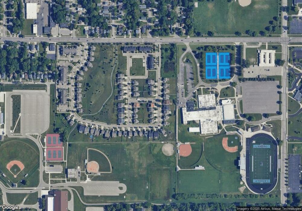
Map
Nearby Homes
- 1431 Academy Ln Unit 2
- 501 Worthington Dr
- 721 Clark St
- 125 Ferguson St
- 1408 E Oakland Ave
- 602 N Pennsylvania Ave
- 930 Mahlon St
- 941 Maryland Ave
- 413 N Clemens Ave
- 904 Linden Grove Ave
- 129 Clifford St
- 1014 E Oakland Ave
- 1440 E César E Chávez Ave
- 837 E Shiawassee St
- 1346 Eureka St
- 1428 E César E Chávez Ave
- 833 Vine St
- 831 Vine St
- 838 May St
- 207 Allen St
- 515 Nantucket Dr Unit 11
- 602 Nantucket Dr Unit 55
- 509 Nantucket Dr Unit 10
- 604 Nantucket Dr Unit 56
- 520 Wendover Dr Unit 5
- 514 Wendover Dr Unit 6
- 503 Nantucket Dr Unit 9
- 508 Wendover Dr Unit 7
- 602 Barlyn Ln
- 607 Nantucket Dr Unit 50
- 518 Nantucket Dr Unit 14
- 524 Nantucket Dr Unit 13
- 502 Wendover Dr Unit 8
- 512 Nantucket Dr Unit 15
- 608 Barlyn Ln
- 1417 Dingle Ln Unit 36
- 605 Nantucket Dr Unit 49