Estimated Value: $240,110 - $270,000
3
Beds
2
Baths
1,592
Sq Ft
$162/Sq Ft
Est. Value
About This Home
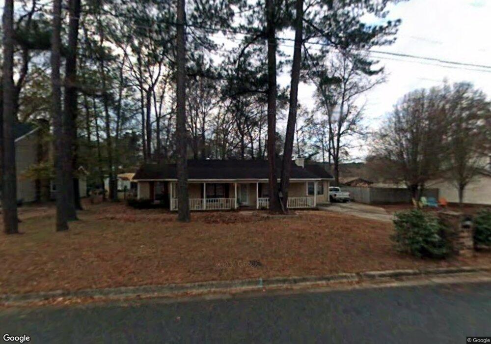
This home is located at 521 Pheasant Run Dr, Evans, GA 30809 and is currently estimated at $258,278, approximately $162 per square foot. 521 Pheasant Run Dr is a home located in Columbia County with nearby schools including Evans Elementary School, Evans Middle School, and Evans High School.
Ownership History
Date
Name
Owned For
Owner Type
Purchase Details
Closed on
Nov 26, 2024
Sold by
Goble Neddie R
Bought by
Barber Nedenia Parker and Barber Ulysses
Current Estimated Value
Home Financials for this Owner
Home Financials are based on the most recent Mortgage that was taken out on this home.
Original Mortgage
$20,000
Outstanding Balance
$14,841
Interest Rate
6.72%
Mortgage Type
New Conventional
Estimated Equity
$243,437
Create a Home Valuation Report for This Property
The Home Valuation Report is an in-depth analysis detailing your home's value as well as a comparison with similar homes in the area
Home Values in the Area
Average Home Value in this Area
Purchase History
| Date | Buyer | Sale Price | Title Company |
|---|---|---|---|
| Barber Nedenia Parker | $20,000 | -- |
Source: Public Records
Mortgage History
| Date | Status | Borrower | Loan Amount |
|---|---|---|---|
| Open | Barber Nedenia Parker | $20,000 |
Source: Public Records
Tax History
| Year | Tax Paid | Tax Assessment Tax Assessment Total Assessment is a certain percentage of the fair market value that is determined by local assessors to be the total taxable value of land and additions on the property. | Land | Improvement |
|---|---|---|---|---|
| 2025 | $2,182 | $89,031 | $18,804 | $70,227 |
| 2024 | $2,244 | $87,449 | $18,804 | $68,645 |
| 2023 | $2,244 | $73,678 | $15,204 | $58,474 |
| 2022 | $1,822 | $67,870 | $15,304 | $52,566 |
| 2021 | $1,716 | $60,933 | $13,604 | $47,329 |
| 2020 | $1,479 | $51,142 | $11,804 | $39,338 |
| 2019 | $1,506 | $52,120 | $12,204 | $39,916 |
| 2018 | $1,398 | $48,065 | $11,204 | $36,861 |
| 2017 | $1,401 | $47,998 | $10,704 | $37,294 |
| 2016 | $1,466 | $52,211 | $11,380 | $40,831 |
| 2015 | $1,305 | $46,117 | $8,480 | $37,637 |
| 2014 | $1,355 | $47,387 | $9,280 | $38,107 |
Source: Public Records
Map
Nearby Homes
- 525 Pheasant Run Dr
- 4421 Hereford Farm Rd
- 625 Dunloe Cir
- 456 Connemara Trail
- 854 Sparkleberry Rd
- 648 River Oaks Ln
- 2820 Old Riah Rd
- 435 Evans Mill Dr Unit 17
- 4560 Mulberry Creek Dr
- 809 Woodberry Dr
- 4484 Woodberry Ct
- 4481 Woodberry Ct
- 4489 Woodberry Ct
- 726 Whitney Shoals Rd
- 881 Audubon Way
- 814 Audubon Way
- 628 Emerald Crossing
- 829 Woodberry Dr
- 4367 Ballentine Dr
- 606 Ridge Way
- 519 Pheasant Run Dr
- 517 Pheasant Run Dr
- 523 Travis Ct
- 523 Pheasant Run Dr
- 475 Rachel Dr
- 522 Pheasant Run Dr
- 473 Rachel Dr
- 529 Travis Ct
- 530 Pheasant Run Dr
- 477 Rachel Dr
- 499 Pheasant Run Dr
- 471 Rachel Dr
- 522 Travis Ct
- 531 Travis Ct
- 469 Rachel Dr
- 528 Travis Ct
- 481 Rachel Dr
- 497 Pheasant Run Dr
- 527 Pheasant Run Dr
- 529 Pheasant Run Dr
Your Personal Tour Guide
Ask me questions while you tour the home.