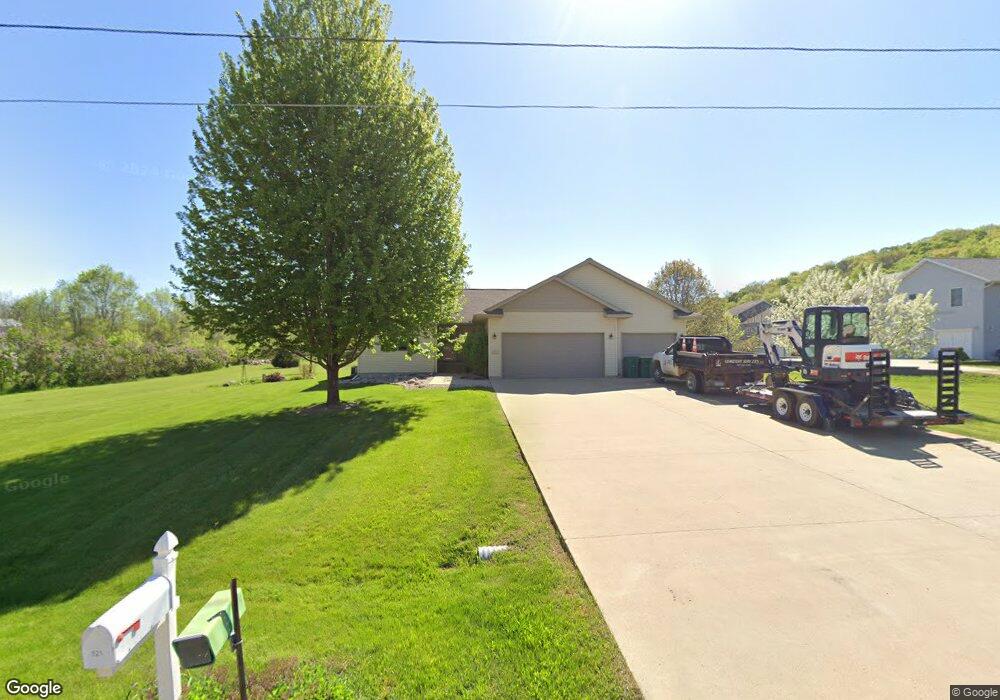
521 Reno St Mankato, MN 56001
Estimated Value: $377,000 - $472,625
3
Beds
2
Baths
1,512
Sq Ft
$288/Sq Ft
Est. Value
About This Home
This home is located at 521 Reno St, Mankato, MN 56001 and is currently estimated at $435,656, approximately $288 per square foot. 521 Reno St is a home located in Blue Earth County with nearby schools including Roosevelt Elementary School, Dakota Meadows Middle School, and Mankato West Senior High School.
Ownership History
Date
Name
Owned For
Owner Type
Purchase Details
Closed on
Aug 29, 2008
Sold by
Lowery Byron A and Lowery Nancy E
Bought by
Vanthuyne Dale E and Vanthuyne Cynthia C
Current Estimated Value
Home Financials for this Owner
Home Financials are based on the most recent Mortgage that was taken out on this home.
Original Mortgage
$165,750
Outstanding Balance
$110,352
Interest Rate
6.54%
Mortgage Type
New Conventional
Estimated Equity
$325,304
Create a Home Valuation Report for This Property
The Home Valuation Report is an in-depth analysis detailing your home's value as well as a comparison with similar homes in the area
Home Values in the Area
Average Home Value in this Area
Purchase History
| Date | Buyer | Sale Price | Title Company |
|---|---|---|---|
| Vanthuyne Dale E | $195,000 | -- |
Source: Public Records
Mortgage History
| Date | Status | Borrower | Loan Amount |
|---|---|---|---|
| Open | Vanthuyne Dale E | $165,750 |
Source: Public Records
Tax History Compared to Growth
Tax History
| Year | Tax Paid | Tax Assessment Tax Assessment Total Assessment is a certain percentage of the fair market value that is determined by local assessors to be the total taxable value of land and additions on the property. | Land | Improvement |
|---|---|---|---|---|
| 2025 | $3,916 | $434,200 | $50,800 | $383,400 |
| 2024 | $3,916 | $385,800 | $50,800 | $335,000 |
| 2023 | $3,898 | $408,100 | $50,800 | $357,300 |
| 2022 | $3,424 | $368,100 | $50,800 | $317,300 |
| 2021 | $3,346 | $294,500 | $50,800 | $243,700 |
| 2020 | $3,076 | $268,200 | $40,600 | $227,600 |
| 2019 | $2,782 | $268,200 | $40,600 | $227,600 |
| 2018 | $2,346 | $270,700 | $40,600 | $230,100 |
| 2017 | $2,108 | $243,300 | $40,400 | $202,900 |
| 2016 | $1,882 | $234,900 | $40,400 | $194,500 |
| 2015 | $16 | $211,100 | $40,400 | $170,700 |
| 2014 | $1,654 | $189,500 | $40,400 | $149,100 |
Source: Public Records
Map
Nearby Homes
- 1614 Le Sueur Ave
- 210 Bird St S
- 237 W Skyline Ct
- 237 237 W Skyline Ct
- 204 Sturgis St N
- 50 50 Skyline Dr
- 204 204 N Sturgis St
- 19 19 Skyline Dr
- 55856 River Fort Dr
- 1030 Oak Terrace Dr
- 1030 1030 Oak Terrace Dr
- 233 Allan Ave
- 629 Marie Ln
- 607 Blue Earth St
- 626 Marie Ln
- 630 Marie Ln
- 627 Park Ln
- 23 23 Holiday Ct
- 117 Marquette Ave
- 32 32 Edgewood Cir
- 601 Reno St
- 520 Reno St
- 1310 Birch Ave
- 600 Reno St
- 427 Reno St
- 1423 Le Sueur Ave
- 1423 Le Sueur Ave Unit (2 Parcel Sale)
- 624 Reno St
- 436 Reno St
- 1290 Birch Ave
- 422 Reno St
- 1437 Le Sueur Ave
- 644 Reno St
- 420 Reno St
- 1260 Birch Ave
- 1501 Le Sueur Ave
- 1512 Le Sueur Ave
- 1512 1512 Lesueur Ave
- 329 Reno St
- 1524 Le Sueur Ave