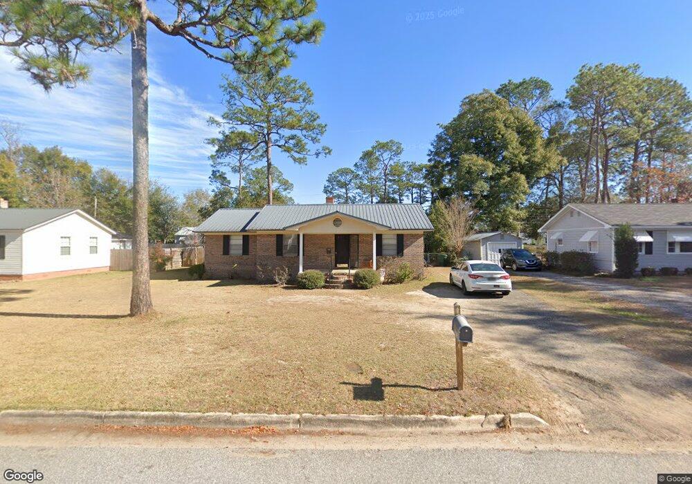
521 S Sims St Bainbridge, GA 39819
Estimated Value: $159,255 - $172,000
3
Beds
2
Baths
1,448
Sq Ft
$113/Sq Ft
Est. Value
About This Home
This home is located at 521 S Sims St, Bainbridge, GA 39819 and is currently estimated at $164,314, approximately $113 per square foot. 521 S Sims St is a home located in Decatur County with nearby schools including Bainbridge High School and Grace Christian Academy.
Ownership History
Date
Name
Owned For
Owner Type
Purchase Details
Closed on
May 30, 2008
Sold by
Brock Robbie D
Bought by
Wall Scarlett H
Current Estimated Value
Home Financials for this Owner
Home Financials are based on the most recent Mortgage that was taken out on this home.
Original Mortgage
$107,142
Outstanding Balance
$68,647
Interest Rate
6.02%
Mortgage Type
New Conventional
Estimated Equity
$95,667
Purchase Details
Closed on
Oct 23, 2007
Sold by
Duncan Thelma A
Bought by
Brock Robbie D
Create a Home Valuation Report for This Property
The Home Valuation Report is an in-depth analysis detailing your home's value as well as a comparison with similar homes in the area
Home Values in the Area
Average Home Value in this Area
Purchase History
| Date | Buyer | Sale Price | Title Company |
|---|---|---|---|
| Wall Scarlett H | $105,000 | -- | |
| Brock Robbie D | -- | -- |
Source: Public Records
Mortgage History
| Date | Status | Borrower | Loan Amount |
|---|---|---|---|
| Open | Wall Scarlett H | $107,142 |
Source: Public Records
Tax History Compared to Growth
Tax History
| Year | Tax Paid | Tax Assessment Tax Assessment Total Assessment is a certain percentage of the fair market value that is determined by local assessors to be the total taxable value of land and additions on the property. | Land | Improvement |
|---|---|---|---|---|
| 2024 | $1,329 | $43,819 | $2,464 | $41,355 |
| 2023 | $839 | $43,819 | $2,464 | $41,355 |
| 2022 | $1,297 | $43,819 | $2,464 | $41,355 |
| 2021 | $1,174 | $38,826 | $2,464 | $36,362 |
| 2020 | $1,044 | $32,976 | $2,464 | $30,512 |
| 2019 | $1,021 | $31,156 | $2,464 | $28,692 |
| 2018 | $1,010 | $31,156 | $2,464 | $28,692 |
| 2017 | $988 | $28,260 | $2,458 | $25,802 |
| 2016 | $928 | $28,260 | $2,458 | $25,802 |
| 2015 | $955 | $28,260 | $2,458 | $25,802 |
| 2014 | $886 | $28,260 | $2,458 | $25,802 |
| 2013 | -- | $28,260 | $2,457 | $25,802 |
Source: Public Records
Map
Nearby Homes
- 606 Chason St
- 515 S Spruce St
- 1106 E Pine St
- 401 S Sims St
- 703 S Boulevard Dr
- 809 S Lamar St
- 910 E Pine St
- 906 E Sharpe St
- 904 Parham Ln
- 1020 E Water St
- 1204 E Water St
- 539 Lake Douglas Drive Ext Dr
- 603 Fleming St
- 1014 Morningside Dr
- 628 S Monroe St
- 1103 Stewart Ave
- 640 E Shotwell St
- 632 E Evans St
- 1511 Woodland Dr
- 632 E Shotwell St