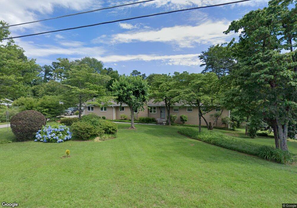
5210 Rebel Rd Unit 2 Marietta, GA 30068
East Cobb NeighborhoodEstimated Value: $522,000 - $711,985
3
Beds
3
Baths
1,803
Sq Ft
$340/Sq Ft
Est. Value
About This Home
This home is located at 5210 Rebel Rd Unit 2, Marietta, GA 30068 and is currently estimated at $612,496, approximately $339 per square foot. 5210 Rebel Rd Unit 2 is a home located in Cobb County with nearby schools including Mount Bethel Elementary School, Dickerson Middle School, and Walton High School.
Ownership History
Date
Name
Owned For
Owner Type
Purchase Details
Closed on
Nov 26, 2024
Sold by
Russell William A
Bought by
Russell Joni G
Current Estimated Value
Purchase Details
Closed on
Nov 18, 1997
Sold by
Pryor Street Investments Llc
Bought by
Russell William A and Russell Joni G
Home Financials for this Owner
Home Financials are based on the most recent Mortgage that was taken out on this home.
Original Mortgage
$119,775
Outstanding Balance
$18,940
Interest Rate
7.27%
Mortgage Type
New Conventional
Estimated Equity
$593,556
Create a Home Valuation Report for This Property
The Home Valuation Report is an in-depth analysis detailing your home's value as well as a comparison with similar homes in the area
Home Values in the Area
Average Home Value in this Area
Purchase History
| Date | Buyer | Sale Price | Title Company |
|---|---|---|---|
| Russell Joni G | -- | None Listed On Document | |
| Russell Joni G | -- | None Listed On Document | |
| Russell William A | $140,000 | -- |
Source: Public Records
Mortgage History
| Date | Status | Borrower | Loan Amount |
|---|---|---|---|
| Open | Russell William A | $119,775 |
Source: Public Records
Tax History Compared to Growth
Tax History
| Year | Tax Paid | Tax Assessment Tax Assessment Total Assessment is a certain percentage of the fair market value that is determined by local assessors to be the total taxable value of land and additions on the property. | Land | Improvement |
|---|---|---|---|---|
| 2025 | $946 | $192,992 | $48,000 | $144,992 |
| 2024 | $950 | $192,992 | $48,000 | $144,992 |
| 2023 | $744 | $192,992 | $48,000 | $144,992 |
| 2022 | $864 | $164,256 | $42,000 | $122,256 |
| 2021 | $807 | $145,016 | $35,200 | $109,816 |
| 2020 | $785 | $137,728 | $35,200 | $102,528 |
| 2019 | $785 | $137,728 | $35,200 | $102,528 |
| 2018 | $785 | $137,728 | $35,200 | $102,528 |
| 2017 | $724 | $137,728 | $35,200 | $102,528 |
| 2016 | $2,604 | $113,144 | $35,200 | $77,944 |
| 2015 | $2,653 | $113,144 | $35,200 | $77,944 |
| 2014 | $2,236 | $93,904 | $0 | $0 |
Source: Public Records
Map
Nearby Homes
- 5290 Lower Roswell Rd
- 931 New Bedford Dr
- 701 Parkaire Crossing
- 708 Parkaire Crossing
- 1604 Parkaire Crossing
- 748 Noble Oak Dr
- 907 Parkaire Crossing Unit 907
- 5025 Highland Club Dr
- 4962 N Ellipse
- 501 Park Ridge Cir
- 608 Serramonte Dr
- 742 Olde Towne Ln
- 5000 Lakeland Dr
- 748 Olde Towne Ln
- 110 Park Ridge Cir
- 101 Park Ridge Cir
- 5197 Forest Brook Pkwy
- 5222 Rebel Rd
- 5190 Rebel Rd
- 5209 Rebel Rd Unit 2
- 5199 Rebel Rd
- 0 Rebel Rd Unit 8611860
- 0 Rebel Rd Unit 8308246
- 0 Rebel Rd Unit 8078717
- 0 Rebel Rd
- 5221 Rebel Rd
- 730 Greenleaf Dr
- 731 Greenleaf Dr
- 5232 Rebel Rd Unit 2
- 5231 Rebel Rd
- 5181 Rebel Rd
- 720 Greenleaf Dr
- 771 Primrose Path
- 0 Greenleaf Dr Unit 3082668
- 882 Bayliss Dr
- 5242 Rebel Rd
- 761 Primrose Path