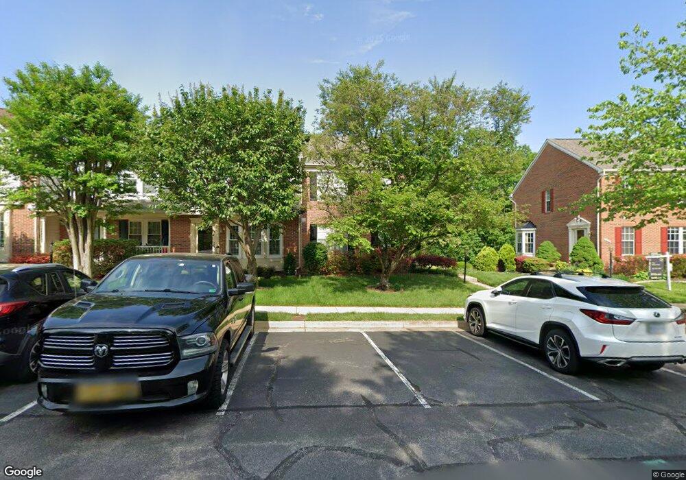
5211 Dunstable Ln Alexandria, VA 22315
Rose Hill NeighborhoodEstimated Value: $661,999 - $705,000
3
Beds
4
Baths
1,412
Sq Ft
$484/Sq Ft
Est. Value
About This Home
This home is located at 5211 Dunstable Ln, Alexandria, VA 22315 and is currently estimated at $684,000, approximately $484 per square foot. 5211 Dunstable Ln is a home located in Fairfax County with nearby schools including Lane Elementary School, Twain Middle School, and Edison High School.
Ownership History
Date
Name
Owned For
Owner Type
Purchase Details
Closed on
Aug 7, 2003
Sold by
Lee David R
Bought by
Snyder Karl E
Current Estimated Value
Home Financials for this Owner
Home Financials are based on the most recent Mortgage that was taken out on this home.
Original Mortgage
$219,900
Outstanding Balance
$94,434
Interest Rate
5.28%
Mortgage Type
New Conventional
Estimated Equity
$589,566
Purchase Details
Closed on
Sep 8, 1994
Sold by
Kingstowne Svd East Lp
Bought by
Ryland Group
Create a Home Valuation Report for This Property
The Home Valuation Report is an in-depth analysis detailing your home's value as well as a comparison with similar homes in the area
Home Values in the Area
Average Home Value in this Area
Purchase History
| Date | Buyer | Sale Price | Title Company |
|---|---|---|---|
| Snyder Karl E | $334,900 | -- | |
| Ryland Group | $390,000 | -- |
Source: Public Records
Mortgage History
| Date | Status | Borrower | Loan Amount |
|---|---|---|---|
| Open | Ryland Group | $219,900 |
Source: Public Records
Tax History Compared to Growth
Tax History
| Year | Tax Paid | Tax Assessment Tax Assessment Total Assessment is a certain percentage of the fair market value that is determined by local assessors to be the total taxable value of land and additions on the property. | Land | Improvement |
|---|---|---|---|---|
| 2025 | $7,392 | $678,980 | $210,000 | $468,980 |
| 2024 | $7,392 | $638,040 | $195,000 | $443,040 |
| 2023 | $6,893 | $610,800 | $185,000 | $425,800 |
| 2022 | $6,357 | $555,910 | $165,000 | $390,910 |
| 2021 | $6,231 | $530,960 | $145,000 | $385,960 |
| 2020 | $5,732 | $484,290 | $135,000 | $349,290 |
| 2019 | $5,541 | $468,190 | $138,000 | $330,190 |
| 2018 | $5,298 | $460,720 | $137,000 | $323,720 |
| 2017 | $5,205 | $448,290 | $134,000 | $314,290 |
| 2016 | $5,087 | $439,130 | $131,000 | $308,130 |
| 2015 | $4,800 | $430,090 | $128,000 | $302,090 |
| 2014 | $4,690 | $421,170 | $125,000 | $296,170 |
Source: Public Records
Map
Nearby Homes
- 6339 Dunman Way
- 5510 Jowett Ct
- 6010 Brookland Rd
- 6485 Waterfield Rd
- 6498 Waterfield Rd
- 5924 Jane Way
- 6120 Squire Ln
- 5206 Ninian Ave
- 6547 Grange Ln Unit 104
- 4702 Eaton Place
- 5405 Brookland Rd
- 6624 Telegraph Rd
- 5338 Harbor Court Dr
- 6053 Crown Royal Cir
- 5820 Iron Willow Ct
- 6045 Crown Royal Cir
- 6631 Dunwich Way
- 5239 Saint Genevieve Place
- 5241 Saint Genevieve Place
- 6028 Crown Royal Cir
- 5207 Dunstable Ln
- 5205 Dunstable Ln
- 5217 Dunstable Ln
- 5203 Dunstable Ln
- 5219 Dunstable Ln
- 5201 Dunstable Ln
- 5223 Dunstable Ln
- 5111 Ballycastle Cir
- 5113 Ballycastle Cir
- 5225 Dunstable Ln
- 5115 Ballycastle Cir
- 5227 Dunstable Ln
- 5117 Ballycastle Cir
- 5229 Dunstable Ln
- 5119 Ballycastle Cir
- 5231 Dunstable Ln
- 5121 Ballycastle Cir
- 5123 Ballycastle Cir
- 5233 Dunstable Ln
- 5100 Ballycastle Cir