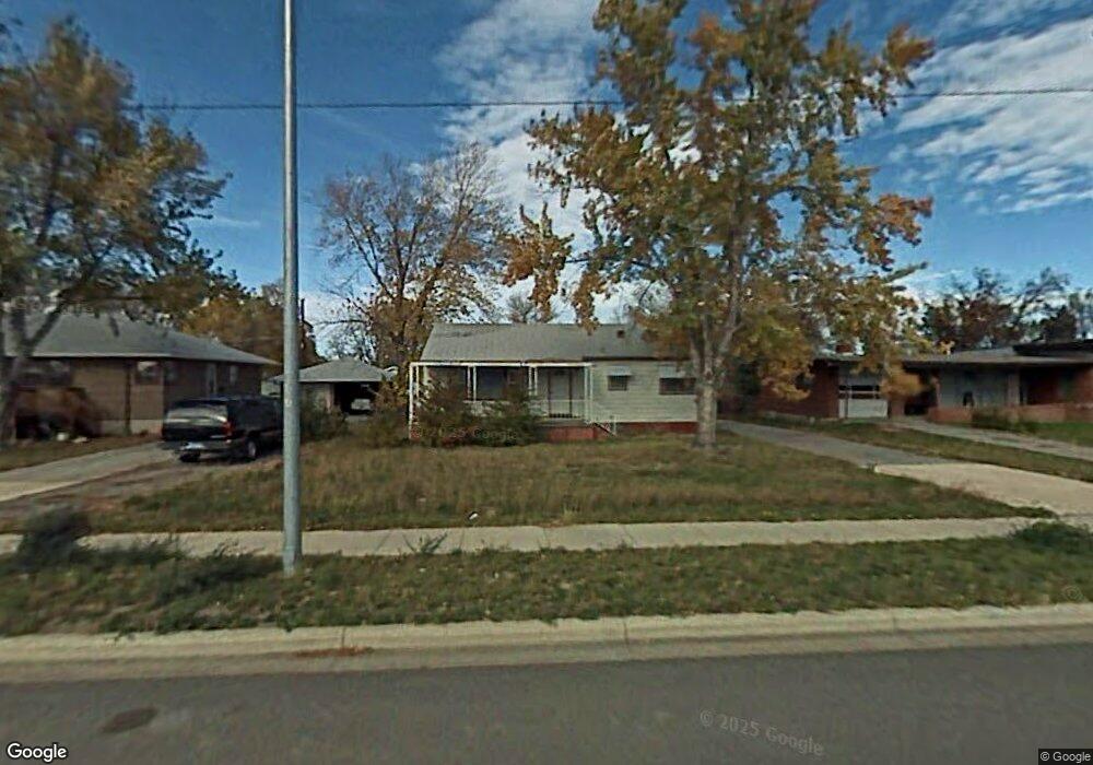
5211 King Ave E Billings, MT 59101
South Central Billings NeighborhoodEstimated Value: $274,000 - $307,000
4
Beds
1
Bath
952
Sq Ft
$300/Sq Ft
Est. Value
About This Home
This home is located at 5211 King Ave E, Billings, MT 59101 and is currently estimated at $285,292, approximately $299 per square foot. 5211 King Ave E is a home located in Yellowstone County with nearby schools including Newman School, Riverside Junior High School, and Billings West High School.
Ownership History
Date
Name
Owned For
Owner Type
Purchase Details
Closed on
Mar 4, 2016
Sold by
Big Sky Property Solution S Llc
Bought by
Zech Amber and Gervais Marilyn
Current Estimated Value
Home Financials for this Owner
Home Financials are based on the most recent Mortgage that was taken out on this home.
Original Mortgage
$114,400
Outstanding Balance
$90,517
Interest Rate
3.64%
Estimated Equity
$194,775
Create a Home Valuation Report for This Property
The Home Valuation Report is an in-depth analysis detailing your home's value as well as a comparison with similar homes in the area
Home Values in the Area
Average Home Value in this Area
Purchase History
| Date | Buyer | Sale Price | Title Company |
|---|---|---|---|
| Zech Amber | $134,600 | -- |
Source: Public Records
Mortgage History
| Date | Status | Borrower | Loan Amount |
|---|---|---|---|
| Open | Zech Amber | $114,400 | |
| Closed | Zech Amber | -- |
Source: Public Records
Tax History
| Year | Tax Paid | Tax Assessment Tax Assessment Total Assessment is a certain percentage of the fair market value that is determined by local assessors to be the total taxable value of land and additions on the property. | Land | Improvement |
|---|---|---|---|---|
| 2025 | $2,269 | $281,000 | $40,730 | $240,270 |
| 2024 | $2,269 | $219,300 | $40,391 | $178,909 |
| 2023 | $2,280 | $219,300 | $40,391 | $178,909 |
| 2022 | $1,585 | $167,900 | $0 | $0 |
| 2021 | $1,915 | $167,900 | $0 | $0 |
| 2020 | $1,928 | $161,300 | $0 | $0 |
| 2019 | $1,834 | $161,300 | $0 | $0 |
| 2018 | $1,730 | $148,800 | $0 | $0 |
| 2017 | $1,675 | $148,800 | $0 | $0 |
| 2016 | $1,529 | $136,800 | $0 | $0 |
| 2015 | $1,610 | $148,600 | $0 | $0 |
| 2014 | $1,395 | $67,469 | $0 | $0 |
Source: Public Records
Map
Nearby Homes
- 336 Foster Ln
- 226 Moore Ln
- 4642 Mitchell Ave
- 5327 Frontier Dr Unit 2
- 1204 Eldorado Dr
- 307 S Billings Blvd Unit 24
- 307 S Billings Blvd Unit 36
- 4531 Phillip St
- 43 Prickett Ln
- 5255 Golden Hollow Rd
- 5343 Golden Hollow Rd
- 5233 Golden Hollow Rd
- 4413 Ryan Ave
- 5238 Golden Hollow Rd
- 1315 Cook Ave
- 1245 Cook Ave
- 1616 Island View Dr
- 449 Orchard Ln
- 4429 Clevenger Ave
- 820 Arlington Dr Unit 25
Your Personal Tour Guide
Ask me questions while you tour the home.