5211 Watson Desoto Rd Byhalia, MS 38611
Lewisburg NeighborhoodEstimated Value: $357,362 - $453,000
4
Beds
--
Bath
2,698
Sq Ft
$147/Sq Ft
Est. Value
About This Home
This home is located at 5211 Watson Desoto Rd, Byhalia, MS 38611 and is currently estimated at $395,787, approximately $146 per square foot. 5211 Watson Desoto Rd is a home located in DeSoto County with nearby schools including Lewisburg Primary School, Lewisburg Elementary School, and Lewisburg Middle School.
Ownership History
Date
Name
Owned For
Owner Type
Purchase Details
Closed on
Jul 28, 2022
Sold by
Garner Justin M and Garner Jessica
Bought by
Purvis Samantha
Current Estimated Value
Purchase Details
Closed on
Mar 20, 2017
Sold by
Whitley R Stephens
Bought by
Garner James
Home Financials for this Owner
Home Financials are based on the most recent Mortgage that was taken out on this home.
Original Mortgage
$11,457
Interest Rate
4.3%
Create a Home Valuation Report for This Property
The Home Valuation Report is an in-depth analysis detailing your home's value as well as a comparison with similar homes in the area
Home Values in the Area
Average Home Value in this Area
Purchase History
| Date | Buyer | Sale Price | Title Company |
|---|---|---|---|
| Purvis Samantha | -- | Guardian Title | |
| Purvis Samantha | -- | Guardian Title | |
| Garner James | -- | -- |
Source: Public Records
Mortgage History
| Date | Status | Borrower | Loan Amount |
|---|---|---|---|
| Previous Owner | Garner James | $11,457 | |
| Previous Owner | Garner James | -- |
Source: Public Records
Tax History Compared to Growth
Tax History
| Year | Tax Paid | Tax Assessment Tax Assessment Total Assessment is a certain percentage of the fair market value that is determined by local assessors to be the total taxable value of land and additions on the property. | Land | Improvement |
|---|---|---|---|---|
| 2024 | $1,580 | $15,806 | $1,500 | $14,306 |
| 2023 | $1,580 | $15,806 | $0 | $0 |
| 2022 | $1,571 | $15,715 | $1,500 | $14,215 |
| 2021 | $1,571 | $15,715 | $1,500 | $14,215 |
| 2020 | $1,455 | $14,553 | $1,500 | $13,053 |
| 2019 | $1,455 | $14,553 | $1,500 | $13,053 |
| 2017 | $1,468 | $27,648 | $14,574 | $13,074 |
| 2016 | $1,468 | $14,574 | $1,500 | $13,074 |
| 2015 | $1,468 | $27,648 | $14,574 | $13,074 |
| 2014 | $1,168 | $14,574 | $0 | $0 |
| 2013 | $1,209 | $14,574 | $0 | $0 |
Source: Public Records
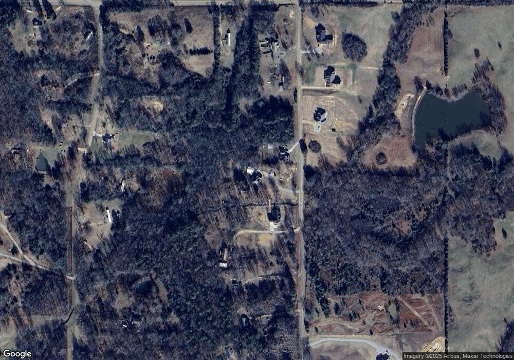
Map
Nearby Homes
- 5727 S Watson Desoto Rd
- 14491 Valley View
- 14495 Valley View
- 0 Cooper Rd
- 62 Shamrock Loop
- 54 Shamrock Loop
- 390 Cross Creek Cove
- 787 Red Banks Rd
- 747 Red Banks Rd
- 707 Red Banks Rd
- 687 Red Banks Rd
- 667 Red Banks Rd
- 30.2 Acres Cathy Rd
- 2402 Highway 309 S
- 0 Highwoods Dr
- 236 Strickland Cove
- 14565 Strickland Rd
- No Strickland Rd
- 2011 Highway 309 S
- 196 Moore Crossing S
- 5173 Watson Desoto Rd
- 5253 Watson Desoto Rd
- 5253 County Line Rd
- 11 Watson Desoto Rd
- 122 Watson Desoto Rd
- 104 Watson Desoto Rd
- 101 Watson Desoto Rd
- 103 Watson Desoto Rd
- 114 Watson Desoto Rd
- 102 Watson Desoto Rd
- 105 Watson Desoto Rd
- 113 Watson Desoto Rd
- 121 Watson Desoto Rd
- 117 Watson Desoto Rd
- 116 Watson Desoto Rd
- 119 Watson Desoto Rd
- 118 Watson Desoto Rd
- 115 Watson Desoto Rd
- 109 Watson Desoto Rd
- 107 Watson Desoto Rd