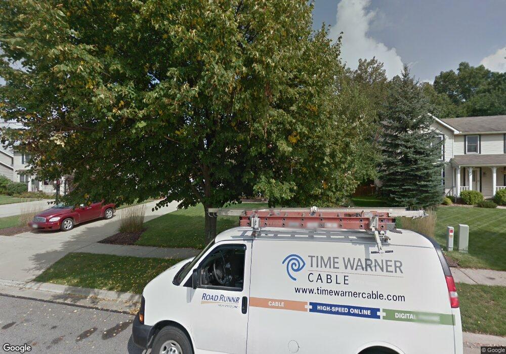
Estimated Value: $337,087 - $389,000
3
Beds
3
Baths
1,728
Sq Ft
$210/Sq Ft
Est. Value
About This Home
This home is located at 5213 Brockton Dr, Stow, OH 44224 and is currently estimated at $363,272, approximately $210 per square foot. 5213 Brockton Dr is a home located in Summit County with nearby schools including Stow-Munroe Falls High School and Primrose School of Hudson.
Ownership History
Date
Name
Owned For
Owner Type
Purchase Details
Closed on
Jul 24, 2007
Sold by
Welhouse Matthew J and Welhouse Heather A
Bought by
Antol Joshua M and Ward Alicia M
Current Estimated Value
Home Financials for this Owner
Home Financials are based on the most recent Mortgage that was taken out on this home.
Original Mortgage
$173,100
Interest Rate
6.76%
Mortgage Type
Purchase Money Mortgage
Create a Home Valuation Report for This Property
The Home Valuation Report is an in-depth analysis detailing your home's value as well as a comparison with similar homes in the area
Home Values in the Area
Average Home Value in this Area
Purchase History
| Date | Buyer | Sale Price | Title Company |
|---|---|---|---|
| Antol Joshua M | $216,400 | Village Title Agency |
Source: Public Records
Mortgage History
| Date | Status | Borrower | Loan Amount |
|---|---|---|---|
| Closed | Antol Joshua M | $173,100 |
Source: Public Records
Tax History Compared to Growth
Tax History
| Year | Tax Paid | Tax Assessment Tax Assessment Total Assessment is a certain percentage of the fair market value that is determined by local assessors to be the total taxable value of land and additions on the property. | Land | Improvement |
|---|---|---|---|---|
| 2025 | $5,251 | $93,188 | $16,671 | $76,517 |
| 2024 | $5,251 | $93,188 | $16,671 | $76,517 |
| 2023 | $5,251 | $93,188 | $16,671 | $76,517 |
| 2022 | $4,959 | $77,729 | $13,892 | $63,837 |
| 2021 | $4,440 | $77,729 | $13,892 | $63,837 |
| 2020 | $4,363 | $77,730 | $13,890 | $63,840 |
| 2019 | $4,426 | $73,730 | $13,890 | $59,840 |
| 2018 | $4,354 | $73,730 | $13,890 | $59,840 |
| 2017 | $3,676 | $73,730 | $13,890 | $59,840 |
| 2016 | $3,783 | $60,360 | $13,890 | $46,470 |
| 2015 | $3,676 | $60,360 | $13,890 | $46,470 |
| 2014 | $3,679 | $60,360 | $13,890 | $46,470 |
| 2013 | $4,016 | $66,410 | $13,890 | $52,520 |
Source: Public Records
Map
Nearby Homes
- 5239 Camden Dr
- 5241 Brockton Dr
- 5431 Diana Lynn Dr
- 5473 Young Rd
- 5465 Park Vista Ct
- 4901 Pebblehurst Dr
- 3165 Peterboro Dr
- 4917 Independence Cir Unit B
- 4944 Friar Rd Unit D
- 4451 Newcomer Rd
- 4901 Independence Cir Unit B
- 4621 Graford Ln
- 5217 Beckett Ridge
- 2444 Port Charles Dr
- 2380 Port Williams Dr Unit 2380
- 2908 Wexford Blvd
- 2327 Crockett Cir
- 4731 Haughton Ct
- 2418 Wrens Dr S Unit G
- 0 Stow Rd Unit 5102979
- 5205 Brockton Dr
- 5221 Brockton Dr
- 5197 Brockton Dr
- 5227 Brockton Dr
- 5191 Brockton Dr
- 5235 Brockton Dr
- 5214 Brockton Dr
- 5222 Brockton Dr
- 5202 Brockton Dr
- 5183 Brockton Dr
- 5230 Brockton Dr
- 5190 Brockton Dr
- 5238 Brockton Dr
- 5249 Brockton Dr
- 5182 Brockton Dr
- 5246 Brockton Dr
- 5175 Brockton Dr
- 3021 Duquesne Dr
- 5225 Camden Dr
- 5203 Camden Dr
