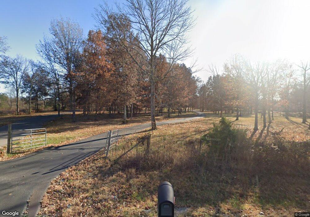
5213 Mankin McKnight Rd Murfreesboro, TN 37127
Estimated Value: $755,000 - $819,011
--
Bed
--
Bath
3,550
Sq Ft
$224/Sq Ft
Est. Value
About This Home
This home is located at 5213 Mankin McKnight Rd, Murfreesboro, TN 37127 and is currently estimated at $795,253, approximately $224 per square foot. 5213 Mankin McKnight Rd is a home with nearby schools including Buchanan Elementary School, Whitworth-Buchanan Middle School, and Riverdale High School.
Ownership History
Date
Name
Owned For
Owner Type
Purchase Details
Closed on
Feb 3, 2023
Sold by
Hunter Bradley W and Hunter Rebecca J
Bought by
Hunter Living Trust
Current Estimated Value
Purchase Details
Closed on
Nov 15, 2017
Sold by
White Stephen D and White Carole Ann
Bought by
Hunter Bradley W and Hunter Rebecce J
Home Financials for this Owner
Home Financials are based on the most recent Mortgage that was taken out on this home.
Original Mortgage
$499,500
Interest Rate
3.91%
Mortgage Type
Construction
Create a Home Valuation Report for This Property
The Home Valuation Report is an in-depth analysis detailing your home's value as well as a comparison with similar homes in the area
Home Values in the Area
Average Home Value in this Area
Purchase History
| Date | Buyer | Sale Price | Title Company |
|---|---|---|---|
| Hunter Living Trust | -- | -- | |
| Hunter Bradley W | $129,900 | Victory Title & Escrow Llc |
Source: Public Records
Mortgage History
| Date | Status | Borrower | Loan Amount |
|---|---|---|---|
| Previous Owner | Hunter Bradley W | $499,500 |
Source: Public Records
Tax History Compared to Growth
Tax History
| Year | Tax Paid | Tax Assessment Tax Assessment Total Assessment is a certain percentage of the fair market value that is determined by local assessors to be the total taxable value of land and additions on the property. | Land | Improvement |
|---|---|---|---|---|
| 2025 | $3,379 | $180,100 | $32,400 | $147,700 |
| 2024 | $3,379 | $180,100 | $32,400 | $147,700 |
| 2023 | $3,379 | $180,100 | $32,400 | $147,700 |
| 2022 | $2,911 | $180,100 | $32,400 | $147,700 |
| 2021 | $2,950 | $132,925 | $29,050 | $103,875 |
| 2020 | $2,950 | $132,925 | $29,050 | $103,875 |
| 2019 | $2,950 | $132,925 | $29,050 | $103,875 |
Source: Public Records
Map
Nearby Homes
- 0 E Gum Rd Unit RTC2963645
- 5530 Lowe Rd
- 4981 Rock Hill Rd
- 4773 Cedar Grove Rd
- 7939 Peridot Cir
- 7912 Peridot Cir
- 4807 Lytle Creek Rd
- 0 Manus Rd Unit RTC2816154
- 4424 Thoroughbred Ln
- 3660 Murray Kittrell Rd
- 8475 Big Springs Rd
- 4232 Thoroughbred Ln
- 7941 Manus Rd
- 1102 Rolinda Ct
- 1223 Euclid Dr
- 1219 Euclid Dr
- 3759 Snell Rd
- 4115 Andes Dr
- 3353 Curie Cir
- 3357 Curie Cir
- 5201 Mankin McKnight Rd
- 5245 Mankin McKnight Rd
- 0 Jasper Johnson Rd
- 5351 Mankin McKnight Rd
- 6970 Cedar Grove Rd
- 7142 Cedar Grove Rd
- 6960 Cedar Grove Rd
- 7014 Cedar Grove Rd
- 5250 Mankin McKnight Rd
- 5438 Mankin McKnight Rd
- 7002 Cedar Grove Rd
- 5116 Mankin McKnight Rd
- 5779 Mankin McKnight Rd
- 6951 Cedar Grove Rd
- 7273 Cedar Grove Rd
- 5550 Mankin McKnight Rd
- 5915 Mankin McKnight Rd Unit 5925
- 5742 Mankin McKnight Rd
- 5810 Mankin McKnight Rd
- 6182 Jasper Johnson Rd
