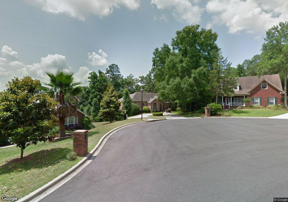
5216 Greystoke Ln Tallahassee, FL 32309
Northeast Tallahasse NeighborhoodEstimated Value: $520,446 - $613,000
--
Bed
--
Bath
2,877
Sq Ft
$201/Sq Ft
Est. Value
About This Home
This home is located at 5216 Greystoke Ln, Tallahassee, FL 32309 and is currently estimated at $579,612, approximately $201 per square foot. 5216 Greystoke Ln is a home located in Leon County with nearby schools including DeSoto Trail Elementary School, William J. Montford III Middle School, and Lawton Chiles High School.
Ownership History
Date
Name
Owned For
Owner Type
Purchase Details
Closed on
Sep 29, 2005
Sold by
Hobbs Roger D and Hobbs Sharon P
Bought by
Dekloet Rolf and Dekloet Marnie
Current Estimated Value
Home Financials for this Owner
Home Financials are based on the most recent Mortgage that was taken out on this home.
Original Mortgage
$244,000
Interest Rate
5.72%
Mortgage Type
Fannie Mae Freddie Mac
Purchase Details
Closed on
Oct 10, 2001
Sold by
Hobbs Roger D
Bought by
Webb Brian S and Webb Stacey L
Create a Home Valuation Report for This Property
The Home Valuation Report is an in-depth analysis detailing your home's value as well as a comparison with similar homes in the area
Home Values in the Area
Average Home Value in this Area
Purchase History
| Date | Buyer | Sale Price | Title Company |
|---|---|---|---|
| Dekloet Rolf | $385,000 | North Florida Title Company | |
| Webb Brian S | -- | -- |
Source: Public Records
Mortgage History
| Date | Status | Borrower | Loan Amount |
|---|---|---|---|
| Closed | Dekloet Rolf | $244,000 |
Source: Public Records
Tax History Compared to Growth
Tax History
| Year | Tax Paid | Tax Assessment Tax Assessment Total Assessment is a certain percentage of the fair market value that is determined by local assessors to be the total taxable value of land and additions on the property. | Land | Improvement |
|---|---|---|---|---|
| 2024 | $6,006 | $360,189 | -- | -- |
| 2023 | $5,936 | $349,698 | $0 | $0 |
| 2022 | $5,575 | $339,513 | $0 | $0 |
| 2021 | $5,514 | $329,624 | $0 | $0 |
| 2020 | $5,350 | $325,073 | $0 | $0 |
| 2019 | $5,272 | $317,764 | $0 | $0 |
| 2018 | $5,210 | $311,839 | $0 | $0 |
| 2017 | $5,151 | $305,425 | $0 | $0 |
| 2016 | $5,105 | $299,143 | $0 | $0 |
| 2015 | $5,063 | $297,064 | $0 | $0 |
| 2014 | $5,063 | $294,706 | $0 | $0 |
Source: Public Records
Map
Nearby Homes
- 2978 Stony Brook Ct
- 2921 Tewkesbury Trace
- 2987 Stony Brook Ct
- 2632 Nantucket Ln
- 2604 Yarmouth Ln
- 5356 Tewkesbury Trace
- 5373 Appledore Ln
- 2681 Nantucket Ln
- 4431 Sierra Ct
- 2780 Kinsail Dr
- 4428 Siesta Ct
- 5000 Velda Dairy Rd
- 4924 Heathe Dr
- 2672 Bantry Bay Dr
- 3423 Rustlewood Ln
- 4076 Roscrea Dr
- 2935 Bayshore Dr
- 5732 Bascom Ln
- 5736 Bascom Ln
- 5701 Bascom Ln
- 5220 Greystoke Ln
- 2941 Compton Way
- 5224 Greystoke Ln
- 2945 Compton Way
- 2940 Compton Way
- 5228 Greystoke Ln
- 2947 Compton Way
- 2944 Compton Way
- 5229 Greystoke Ln
- 5232 Greystoke Ln
- 2900 Falling Waters Way
- 2910 Falling Waters Way
- 2948 Compton Way
- 2951 Compton Way
- 2939 N Umberland Dr
- 2952 Compton Way
- 2955 Compton Way
- 2901 Falling Waters Way
- 2943 N Umberland Dr
- 2930 N Umberland Dr