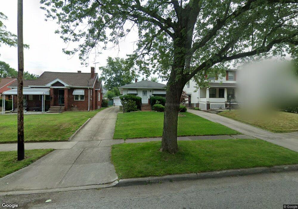
5217 Anthony St Maple Heights, OH 44137
Estimated Value: $113,000 - $152,000
2
Beds
2
Baths
960
Sq Ft
$132/Sq Ft
Est. Value
About This Home
This home is located at 5217 Anthony St, Maple Heights, OH 44137 and is currently estimated at $127,074, approximately $132 per square foot. 5217 Anthony St is a home located in Cuyahoga County with nearby schools including Abraham Lincoln Elementary School, Rockside/ J.F. Kennedy School, and Barack Obama School.
Ownership History
Date
Name
Owned For
Owner Type
Purchase Details
Closed on
Feb 4, 1986
Sold by
Oravec Anna B
Bought by
Zarko Donald J and Zarko Patricia J
Current Estimated Value
Purchase Details
Closed on
Jan 1, 1975
Bought by
Oravec Anna B
Create a Home Valuation Report for This Property
The Home Valuation Report is an in-depth analysis detailing your home's value as well as a comparison with similar homes in the area
Home Values in the Area
Average Home Value in this Area
Purchase History
| Date | Buyer | Sale Price | Title Company |
|---|---|---|---|
| Zarko Donald J | $49,000 | -- | |
| Oravec Anna B | -- | -- |
Source: Public Records
Tax History
| Year | Tax Paid | Tax Assessment Tax Assessment Total Assessment is a certain percentage of the fair market value that is determined by local assessors to be the total taxable value of land and additions on the property. | Land | Improvement |
|---|---|---|---|---|
| 2024 | $1,770 | $28,700 | $7,245 | $21,455 |
| 2023 | $1,278 | $20,520 | $4,380 | $16,140 |
| 2022 | $1,311 | $20,510 | $4,380 | $16,140 |
| 2021 | $1,394 | $20,510 | $4,380 | $16,140 |
| 2020 | $975 | $15,540 | $3,330 | $12,220 |
| 2019 | $964 | $44,400 | $9,500 | $34,900 |
| 2018 | $957 | $15,540 | $3,330 | $12,220 |
| 2017 | $872 | $14,630 | $3,080 | $11,550 |
| 2016 | $839 | $14,630 | $3,080 | $11,550 |
| 2015 | $912 | $14,630 | $3,080 | $11,550 |
| 2014 | $912 | $16,070 | $3,400 | $12,670 |
Source: Public Records
Map
Nearby Homes
- 5185 Anthony St
- 5204 Anthony St
- 5212 Catherine St
- 5210 Theodore St
- 5246 Philip Ave
- 5231 Philip Ave
- 5082 Philip Ave
- 16907 Maple Heights Blvd
- 17282 Mccracken Rd
- 5177 Cato St
- 5062 Lee Rd
- 5150 Arch St
- 16174 Friend Ave
- 17005 Mapleboro Ave
- 17914 Libby Rd
- 5239 Arch St
- 17409 Mapleboro Ave
- 5031 Cato St
- 16351 Glenburn Ave
- 5382 Lee Rd
- 5221 Anthony St
- 5211 Anthony St
- 5225 Anthony St
- 5207 Anthony St
- 5229 Anthony St
- 5216 Clement Ave
- 5201 Anthony St
- 5220 Clement Ave
- 5212 Clement Ave
- 5231 Anthony St
- 5226 Clement Ave
- 5228 Clement Ave
- 5214 Anthony St
- 5233 Anthony St
- 5208 Anthony St
- 5220 Anthony St
- 5200 Clement Ave
- 5232 Clement Ave
- 5206 Anthony St
- 5228 Anthony St
Your Personal Tour Guide
Ask me questions while you tour the home.