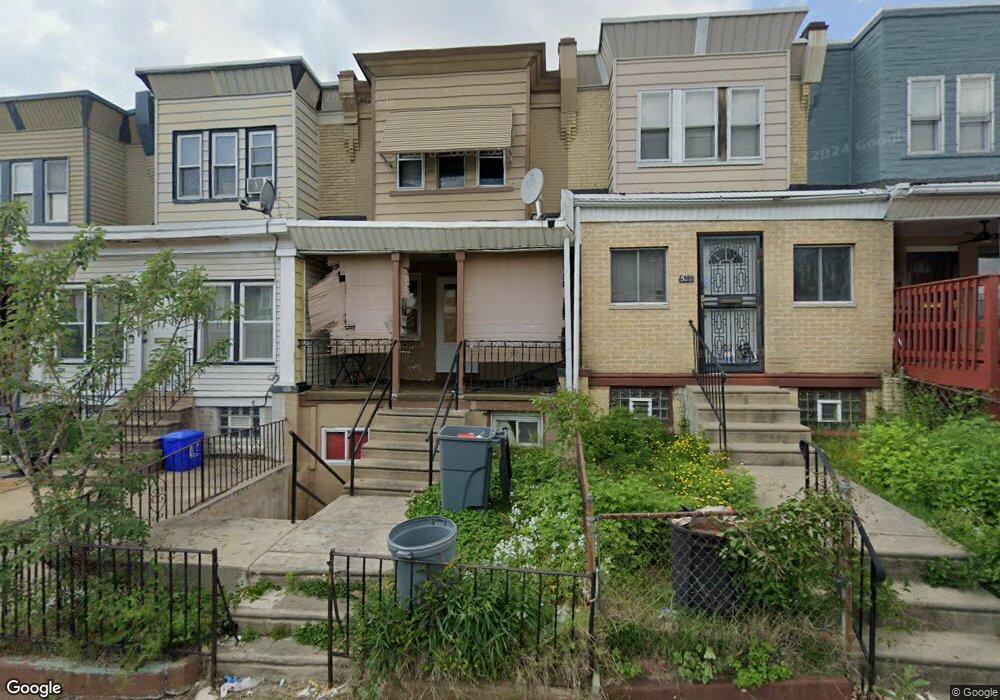
5219 Pentridge St Philadelphia, PA 19143
Kingsessing NeighborhoodEstimated Value: $126,336 - $253,000
3
Beds
1
Bath
1,162
Sq Ft
$150/Sq Ft
Est. Value
About This Home
This home is located at 5219 Pentridge St, Philadelphia, PA 19143 and is currently estimated at $174,334, approximately $150 per square foot. 5219 Pentridge St is a home located in Philadelphia County with nearby schools including Avery D. Harrington School, William L. Sayre High School, and Hardy Williams Elementary.
Ownership History
Date
Name
Owned For
Owner Type
Purchase Details
Closed on
Nov 29, 2004
Sold by
Montgomery Merline and Osbourne Linval A
Bought by
Bank One Na and Csfb Series 2001-28
Current Estimated Value
Purchase Details
Closed on
May 24, 2001
Sold by
Osbourne Linval A
Bought by
Osbourne Linval A and Montgomery Merline
Home Financials for this Owner
Home Financials are based on the most recent Mortgage that was taken out on this home.
Original Mortgage
$36,900
Interest Rate
7.2%
Create a Home Valuation Report for This Property
The Home Valuation Report is an in-depth analysis detailing your home's value as well as a comparison with similar homes in the area
Home Values in the Area
Average Home Value in this Area
Purchase History
| Date | Buyer | Sale Price | Title Company |
|---|---|---|---|
| Bank One Na | $4,900 | -- | |
| Osbourne Linval A | -- | -- |
Source: Public Records
Mortgage History
| Date | Status | Borrower | Loan Amount |
|---|---|---|---|
| Previous Owner | Osbourne Linval A | $36,900 |
Source: Public Records
Tax History Compared to Growth
Tax History
| Year | Tax Paid | Tax Assessment Tax Assessment Total Assessment is a certain percentage of the fair market value that is determined by local assessors to be the total taxable value of land and additions on the property. | Land | Improvement |
|---|---|---|---|---|
| 2025 | $1,005 | $101,400 | $20,280 | $81,120 |
| 2024 | $1,005 | $101,400 | $20,280 | $81,120 |
| 2023 | $1,005 | $71,800 | $14,360 | $57,440 |
| 2022 | $546 | $71,800 | $14,360 | $57,440 |
| 2021 | $546 | $0 | $0 | $0 |
| 2020 | $546 | $0 | $0 | $0 |
| 2019 | $504 | $0 | $0 | $0 |
| 2018 | $472 | $0 | $0 | $0 |
| 2017 | $472 | $0 | $0 | $0 |
| 2016 | $472 | $0 | $0 | $0 |
| 2015 | $352 | $0 | $0 | $0 |
| 2014 | -- | $26,300 | $5,612 | $20,688 |
| 2012 | -- | $6,016 | $1,094 | $4,922 |
Source: Public Records
Map
Nearby Homes
- 1241 S 52nd St
- 1446 S 52nd St
- 5224 Florence Ave
- 1041 S 53rd St
- 5217 Beaumont Ave
- 5219 Beaumont Ave
- 1054 S 53rd St
- 5312 Pentridge St
- 5212 Beaumont Ave
- 926 S Paxon St
- 768 S 52nd St
- 5336 Pentridge St
- 5338 Pentridge St
- 5343 Pentridge St
- 5221 Warrington Ave
- 1265 S Ruby St
- 4913 Florence Ave
- 5121 Hadfield St
- 5130 Malcolm St
- 5029 Pentridge St
- 5221 Pentridge St
- 5217 Pentridge St
- 5215 Pentridge St
- 5225 Pentridge St
- 5213 Pentridge St
- 5227 Pentridge St
- 5211 Pentridge St
- 5229 Pentridge St
- 5231 Pentridge St
- 5233 Pentridge St
- 5220 Pentridge St
- 5216 Pentridge St
- 5218 Pentridge St
- 5222 Pentridge St
- 5214 Pentridge St
- 5235 Pentridge St
- 5224 Pentridge St
- 5226 Pentridge St
- 5212 Pentridge St
- 5210 Pentridge St