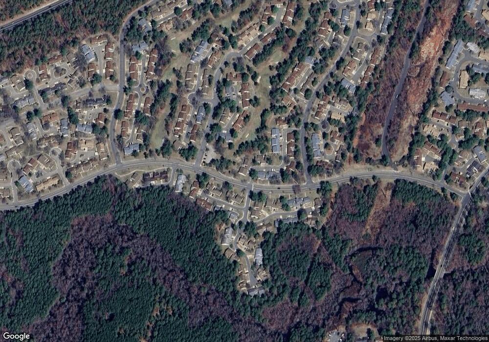
521B Huntington Dr Unit 521B Manchester, NJ 08759
Manchester Township NeighborhoodEstimated Value: $276,717 - $304,000
2
Beds
2
Baths
1,602
Sq Ft
$182/Sq Ft
Est. Value
About This Home
This home is located at 521B Huntington Dr Unit 521B, Manchester, NJ 08759 and is currently estimated at $291,429, approximately $181 per square foot. 521B Huntington Dr Unit 521B is a home located in Ocean County with nearby schools including Manchester Township High School.
Ownership History
Date
Name
Owned For
Owner Type
Purchase Details
Closed on
Aug 27, 2009
Sold by
Walker Betty A
Bought by
Kearney Frank B and Kearney Marie T
Current Estimated Value
Home Financials for this Owner
Home Financials are based on the most recent Mortgage that was taken out on this home.
Original Mortgage
$127,645
Outstanding Balance
$84,197
Interest Rate
5.36%
Mortgage Type
FHA
Estimated Equity
$207,232
Purchase Details
Closed on
Aug 1, 2003
Sold by
Christofileas Bertha
Bought by
Walker Betty
Create a Home Valuation Report for This Property
The Home Valuation Report is an in-depth analysis detailing your home's value as well as a comparison with similar homes in the area
Home Values in the Area
Average Home Value in this Area
Purchase History
| Date | Buyer | Sale Price | Title Company |
|---|---|---|---|
| Kearney Frank B | $130,000 | None Available | |
| Walker Betty | -- | -- |
Source: Public Records
Mortgage History
| Date | Status | Borrower | Loan Amount |
|---|---|---|---|
| Open | Kearney Frank B | $127,645 |
Source: Public Records
Tax History Compared to Growth
Tax History
| Year | Tax Paid | Tax Assessment Tax Assessment Total Assessment is a certain percentage of the fair market value that is determined by local assessors to be the total taxable value of land and additions on the property. | Land | Improvement |
|---|---|---|---|---|
| 2025 | $3,935 | $251,700 | $60,000 | $191,700 |
| 2024 | $3,735 | $160,300 | $42,000 | $118,300 |
| 2023 | $3,551 | $160,300 | $42,000 | $118,300 |
| 2022 | $3,551 | $160,300 | $42,000 | $118,300 |
| 2021 | $3,474 | $160,300 | $42,000 | $118,300 |
| 2020 | $3,382 | $160,300 | $42,000 | $118,300 |
| 2019 | $2,342 | $91,300 | $19,000 | $72,300 |
| 2018 | $2,333 | $91,300 | $19,000 | $72,300 |
| 2017 | $2,342 | $91,300 | $19,000 | $72,300 |
| 2016 | $2,314 | $91,300 | $19,000 | $72,300 |
| 2015 | $2,271 | $91,300 | $19,000 | $72,300 |
| 2014 | $2,224 | $91,300 | $19,000 | $72,300 |
Source: Public Records
Map
Nearby Homes
- 692B Friar Ct Unit B
- 550C Mayfair Rd Unit 550C
- 533B Warwick Ct
- 715A Wooton Ct
- 715C Wooton Ct Unit 715C
- 636A Devonshire Ln Unit 636A
- 727B Wooton Ct
- 638B Finchley Ct
- 616A Bosworth Ct Unit A
- 749A Liverpool Cir Unit 749A
- 83B Cambridge Cir Unit 385B
- 478A Buckingham Dr
- 706B Liverpool Cir Unit 706B
- 477 Buckingham Dr Unit B
- 29 Saint Paul Place
- 1035B Thornbury Ln
- 1038A Canterbury Dr Unit 1038A
- 948A Liverpool Cir Unit 948A
- 13 Saint Paul Place
- 928B Liverpool Cir Unit 928B
- 521A Huntington Dr Unit 521A
- 523A Huntington Dr
- 522B Huntington Dr Unit 522B
- 523B Huntington Dr
- 522A Huntington Dr
- 683 Friar Ct Unit A
- 683 Friar Ct Unit B
- 683B Friar Ct
- 683A Friar Ct Unit 683A
- 523C Huntington Dr Unit 523C
- 684A Friar Ct
- 685 Friar Ct Unit A
- 684B Friar Ct
- 549B Mayfair Rd
- 549B Mayfair Rd Unit B
- 684 Friar Ct Unit B
- 701A Friar Ct Unit 701A
- 526C Sheffield Dr
- 700B Friar Ct Unit 700B
- 549A Mayfair Rd
