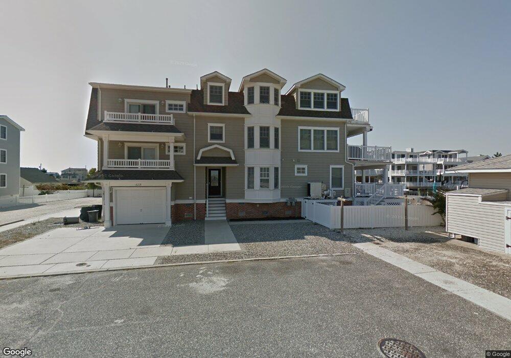
522 20th St Unit 522 Avalon, NJ 08202
Estimated Value: $3,085,000 - $3,798,000
--
Bed
--
Bath
2,168
Sq Ft
$1,584/Sq Ft
Est. Value
About This Home
This home is located at 522 20th St Unit 522, Avalon, NJ 08202 and is currently estimated at $3,433,797, approximately $1,583 per square foot. 522 20th St Unit 522 is a home located in Cape May County with nearby schools including Avalon Elementary School.
Ownership History
Date
Name
Owned For
Owner Type
Purchase Details
Closed on
Sep 4, 2013
Sold by
522 20Th Street Llc
Bought by
Lipschutz Lester E
Current Estimated Value
Purchase Details
Closed on
Feb 15, 2008
Sold by
Welsh Thomas J
Bought by
522 20Th Street Llc
Home Financials for this Owner
Home Financials are based on the most recent Mortgage that was taken out on this home.
Original Mortgage
$1,300,000
Interest Rate
5.75%
Mortgage Type
Purchase Money Mortgage
Purchase Details
Closed on
May 31, 2005
Sold by
Robertson E Jean and Borusiewicz Georgene
Bought by
Welsh Thomas J
Home Financials for this Owner
Home Financials are based on the most recent Mortgage that was taken out on this home.
Original Mortgage
$1,330,000
Interest Rate
5.71%
Mortgage Type
Purchase Money Mortgage
Create a Home Valuation Report for This Property
The Home Valuation Report is an in-depth analysis detailing your home's value as well as a comparison with similar homes in the area
Home Values in the Area
Average Home Value in this Area
Purchase History
| Date | Buyer | Sale Price | Title Company |
|---|---|---|---|
| Lipschutz Lester E | $1,500,000 | Seaboard Title Agency | |
| 522 20Th Street Llc | $1,500,000 | None Available | |
| Welsh Thomas J | $1,900,000 | -- |
Source: Public Records
Mortgage History
| Date | Status | Borrower | Loan Amount |
|---|---|---|---|
| Previous Owner | 522 20Th Street Llc | $1,300,000 | |
| Previous Owner | Welsh Thomas J | $1,330,000 |
Source: Public Records
Tax History Compared to Growth
Tax History
| Year | Tax Paid | Tax Assessment Tax Assessment Total Assessment is a certain percentage of the fair market value that is determined by local assessors to be the total taxable value of land and additions on the property. | Land | Improvement |
|---|---|---|---|---|
| 2025 | $8,742 | $1,423,700 | $925,000 | $498,700 |
| 2024 | $8,742 | $1,423,700 | $925,000 | $498,700 |
| 2023 | $8,670 | $1,423,700 | $925,000 | $498,700 |
| 2022 | $8,087 | $1,423,700 | $925,000 | $498,700 |
| 2021 | $7,788 | $1,423,700 | $925,000 | $498,700 |
| 2020 | $7,489 | $1,423,700 | $925,000 | $498,700 |
| 2019 | $7,261 | $1,423,700 | $925,000 | $498,700 |
| 2018 | $6,948 | $1,423,700 | $925,000 | $498,700 |
| 2017 | $5,472 | $984,200 | $675,000 | $309,200 |
| 2016 | $5,413 | $984,200 | $675,000 | $309,200 |
| 2015 | $5,325 | $984,200 | $675,000 | $309,200 |
| 2014 | $5,251 | $964,100 | $675,000 | $289,100 |
Source: Public Records
Map
Nearby Homes
- 503 20th St
- 440 21st St Unit South (B)
- 647 Barry Rd
- 415 20th St
- 890 21st St
- 389 22nd St
- 431 24th St
- 2425 Harbor Ave Unit 2425
- 211 23rd St
- 178 19th St
- 212 25th St
- 212 25th St Unit East Unit
- 174 23rd St
- 279 13th St Unit C-6
- 279 13th St
- 161 24th St
- 128 16th St
- 179 27th St
- 76 21st St W
- 1100 Ocean Dr Unit 312
- 534 20th St
- 520 20th St Unit 520
- 520 20th St Unit 520 20th
- 516 20th St Unit 516
- 518 20th St Unit North
- 518 20th St
- 544 20th St
- 544 20th St Unit A
- 544 20th St Unit B- North
- 533 21st St
- 508 20th St Unit 508
- 541 21st St
- 541 21st St Unit 1st & 2nd
- 543 21st St
- 523 21st St
- 506 20th St Unit 506
- 551 21st St Unit 551
- 553 21st St Unit 553
- 553 21st St Unit 2nd/3rd FL
- 527 20th St