Estimated Value: $1,246,000 - $1,361,410
About This Home
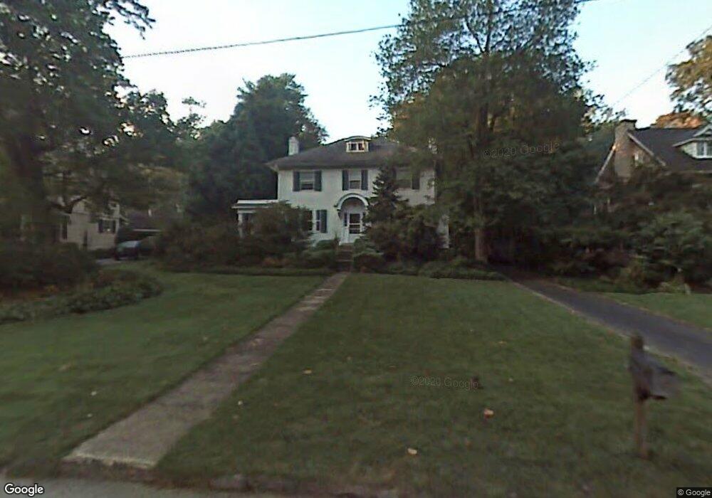
This home is located at 522 Brookside Ave, Wayne, PA 19087 and is currently estimated at $1,321,470, approximately $532 per square foot. 522 Brookside Ave is a home located in Delaware County with nearby schools including Wayne Elementary School, Radnor Middle School, and Radnor Senior High School.
Ownership History
We collect this data history from publicly available records. To have your information removed, we recommend requesting removal directly through your county’s website.
Purchase Details
Purchase Details
Home Values in the Area
Average Home Value in this Area
Purchase History
We collect this data history from publicly available records. To have your information removed, we recommend requesting removal directly through your county’s website.
| Date | Buyer | Sale Price | Title Company |
|---|---|---|---|
| -- | None Listed On Document | ||
| $290,000 | -- |
Tax History
We collect this data history from publicly available records. To have your information removed, we recommend requesting removal directly through your county’s website.
| Year | Tax Paid | Tax Assessment Tax Assessment Total Assessment is a certain percentage of the fair market value that is determined by local assessors to be the total taxable value of land and additions on the property. | Land | Improvement |
|---|---|---|---|---|
| 2026 | $15,561 | $702,400 | $238,520 | $463,880 |
| 2025 | $14,201 | $702,400 | $238,520 | $463,880 |
| 2024 | $14,201 | $702,400 | $238,520 | $463,880 |
| 2023 | $13,638 | $702,400 | $238,520 | $463,880 |
| 2022 | $13,490 | $702,400 | $238,520 | $463,880 |
| 2021 | $21,668 | $702,400 | $238,520 | $463,880 |
| 2020 | $10,714 | $308,000 | $128,660 | $179,340 |
| 2019 | $10,412 | $308,000 | $128,660 | $179,340 |
| 2018 | $9,473 | $285,820 | $0 | $0 |
| 2017 | $9,275 | $285,820 | $0 | $0 |
| 2016 | $1,569 | $285,820 | $0 | $0 |
| 2015 | $1,569 | $285,820 | $0 | $0 |
| 2014 | $1,569 | $285,820 | $0 | $0 |
Map
- 5 Brookside Cir
- 400 Meadowbrook Ave
- 353 Oak Terrace
- 421 Saint Davids Rd
- 500 E Lancaster Ave Unit 108
- 500 E Lancaster Ave Unit 105C
- 580 Sinkler Dr
- 233 Iron Works Way Unit 233
- 123 Iron Works Way
- 850 Lesley Rd
- 0 Greenwell Ln
- 230 S Wayne Ave
- 322 Conestoga Rd
- 497 Saint Davids Ave
- 205 N Aberdeen Ave
- 202 N Aberdeen Ave
- 206 N Aberdeen Ave Unit D
- 443 Saint Davids Ave
- 309 Conestoga Rd
- 423 Maplewood Ave
Ask me questions while you tour the home.