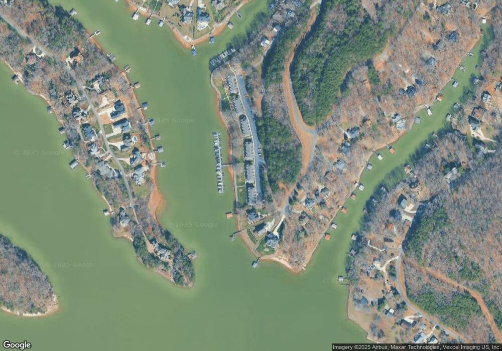
522 Catspaw Rd Unit C Statesville, NC 28677
Estimated Value: $509,000 - $663,000
3
Beds
4
Baths
2,266
Sq Ft
$266/Sq Ft
Est. Value
About This Home
This home is located at 522 Catspaw Rd Unit C, Statesville, NC 28677 and is currently estimated at $603,707, approximately $266 per square foot. 522 Catspaw Rd Unit C is a home located in Iredell County with nearby schools including Troutman Elementary School, Troutman Middle School, and South Iredell High School.
Ownership History
Date
Name
Owned For
Owner Type
Purchase Details
Closed on
Sep 24, 2024
Sold by
Johnson Brent F and Johnson Robin L
Bought by
Mullican Iii Llc
Current Estimated Value
Purchase Details
Closed on
Feb 28, 2022
Sold by
Phelan Susan B
Bought by
Johnson Brent F and Johnson Robin L
Purchase Details
Closed on
Dec 14, 2020
Sold by
Brannock Tommy D
Bought by
Phelan Susan B
Purchase Details
Closed on
Sep 2, 2005
Sold by
Shaffner June Elijah and Shaffner Catherine Bass Watson
Bought by
Brannock Tommy D
Home Financials for this Owner
Home Financials are based on the most recent Mortgage that was taken out on this home.
Original Mortgage
$215,000
Interest Rate
5.71%
Mortgage Type
Purchase Money Mortgage
Purchase Details
Closed on
Sep 1, 1987
Purchase Details
Closed on
Mar 1, 1985
Create a Home Valuation Report for This Property
The Home Valuation Report is an in-depth analysis detailing your home's value as well as a comparison with similar homes in the area
Home Values in the Area
Average Home Value in this Area
Purchase History
| Date | Buyer | Sale Price | Title Company |
|---|---|---|---|
| Mullican Iii Llc | $650,000 | None Listed On Document | |
| Mullican Iii Llc | $650,000 | None Listed On Document | |
| Johnson Brent F | $500,000 | Hinshaw Robert D | |
| Phelan Susan B | $360,000 | None Available | |
| Brannock Tommy D | $255,000 | Multiple | |
| -- | -- | -- | |
| -- | -- | -- |
Source: Public Records
Mortgage History
| Date | Status | Borrower | Loan Amount |
|---|---|---|---|
| Previous Owner | Brannock Tommy D | $215,000 |
Source: Public Records
Tax History Compared to Growth
Tax History
| Year | Tax Paid | Tax Assessment Tax Assessment Total Assessment is a certain percentage of the fair market value that is determined by local assessors to be the total taxable value of land and additions on the property. | Land | Improvement |
|---|---|---|---|---|
| 2024 | $3,007 | $491,140 | $200,000 | $291,140 |
| 2023 | $3,007 | $491,140 | $200,000 | $291,140 |
| 2022 | $2,237 | $341,540 | $175,000 | $166,540 |
| 2021 | $2,199 | $341,540 | $175,000 | $166,540 |
| 2020 | $2,199 | $341,540 | $175,000 | $166,540 |
| 2019 | $2,114 | $341,540 | $175,000 | $166,540 |
| 2018 | $1,578 | $255,400 | $125,000 | $130,400 |
| 2017 | $1,578 | $255,400 | $125,000 | $130,400 |
| 2016 | $1,578 | $255,400 | $125,000 | $130,400 |
| 2015 | $1,578 | $255,400 | $125,000 | $130,400 |
| 2014 | $1,340 | $234,110 | $110,000 | $124,110 |
Source: Public Records
Map
Nearby Homes
- 137 E Tattersall Dr
- 281 Windemere Isle Rd
- 116 Island Ridge Dr
- 120 Shadow Ridge Ct
- 1395 Roundstone Rd
- 8452 Marina Ln Unit 66
- 8444 Marina Ln Unit 65
- 8436 Marina Ln Unit 64
- 8424 Marina Ln
- 1676 Sherwood Ct
- 1685 Sherwood Ct
- 1122 Astoria Pkwy
- 0000 Spring Shore Rd
- 227 Spring Shore Rd
- 142 Mimosa Rd
- 155 Eagle Chase Ln
- 8145 Rowe St
- 167 Maple View Dr
- 555 Laurel Cove Rd
- 112 Eagle Chase Ln
- 523 Catspaw Rd
- 521 Catspaw Rd Unit B6
- 525 Catspaw Rd Unit A
- 525 Catspaw Rd Unit B7
- 526 Catspaw Rd Unit B7B
- 528 Catspaw Rd Unit B7D
- 516 Catspaw Rd Unit B5
- 529 Catspaw Rd
- 529 Catspaw Rd
- 515 Catspaw Rd Unit B5
- 000 Heronwood Rd
- 128 Heron Point
- 514 Catspaw Rd
- 513 Catspaw Rd
- 512 Catspaw Rd
- 511 Catspaw Rd
- 510 Catspaw Rd
- 519 Catspaw Rd Unit B5
- 517 Catspaw Rd
- 508 Catspaw Rd
