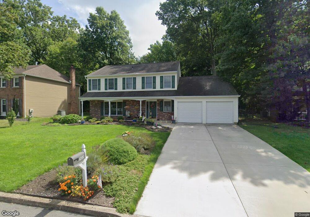
522 Croasdale Dr Langhorne, PA 19047
Estimated Value: $680,000 - $736,000
4
Beds
3
Baths
2,772
Sq Ft
$258/Sq Ft
Est. Value
About This Home
This home is located at 522 Croasdale Dr, Langhorne, PA 19047 and is currently estimated at $714,631, approximately $257 per square foot. 522 Croasdale Dr is a home located in Bucks County with nearby schools including Pearl S. Buck Elementary School, Maple Point Middle School, and Neshaminy High School.
Ownership History
Date
Name
Owned For
Owner Type
Purchase Details
Closed on
May 18, 1995
Sold by
George E Wayne and George Marilyn J
Bought by
Gehris Paul D and Gehris Elizabeth C
Current Estimated Value
Home Financials for this Owner
Home Financials are based on the most recent Mortgage that was taken out on this home.
Original Mortgage
$144,000
Interest Rate
4.87%
Purchase Details
Closed on
Aug 26, 1994
Sold by
Domann David E and Domann Elizabeth
Bought by
George E Wayne and George Marilyn J
Home Financials for this Owner
Home Financials are based on the most recent Mortgage that was taken out on this home.
Original Mortgage
$140,000
Interest Rate
4.5%
Create a Home Valuation Report for This Property
The Home Valuation Report is an in-depth analysis detailing your home's value as well as a comparison with similar homes in the area
Home Values in the Area
Average Home Value in this Area
Purchase History
| Date | Buyer | Sale Price | Title Company |
|---|---|---|---|
| Gehris Paul D | $180,000 | -- | |
| George E Wayne | $195,000 | T A Title Insurance Company |
Source: Public Records
Mortgage History
| Date | Status | Borrower | Loan Amount |
|---|---|---|---|
| Closed | Gehris Paul D | $144,000 | |
| Previous Owner | George E Wayne | $140,000 |
Source: Public Records
Tax History Compared to Growth
Tax History
| Year | Tax Paid | Tax Assessment Tax Assessment Total Assessment is a certain percentage of the fair market value that is determined by local assessors to be the total taxable value of land and additions on the property. | Land | Improvement |
|---|---|---|---|---|
| 2025 | $8,937 | $41,050 | $6,080 | $34,970 |
| 2024 | $8,937 | $41,050 | $6,080 | $34,970 |
| 2023 | $8,795 | $41,050 | $6,080 | $34,970 |
| 2022 | $8,564 | $41,050 | $6,080 | $34,970 |
| 2021 | $8,564 | $41,050 | $6,080 | $34,970 |
| 2020 | $8,461 | $41,050 | $6,080 | $34,970 |
| 2019 | $8,272 | $41,050 | $6,080 | $34,970 |
| 2018 | $8,121 | $41,050 | $6,080 | $34,970 |
| 2017 | $7,913 | $41,050 | $6,080 | $34,970 |
| 2016 | $7,913 | $41,050 | $6,080 | $34,970 |
| 2015 | $8,103 | $41,050 | $6,080 | $34,970 |
| 2014 | $8,103 | $41,050 | $6,080 | $34,970 |
Source: Public Records
Map
Nearby Homes
- 2703 Lynbrooke Dr Unit 81
- 28130 Hickory Ln
- 2602 Waterford Rd Unit 96
- 462 Scott Ct
- 181 Fillmore Way
- 30139 Hickory Ln
- 2007 Waterford Rd Unit 81
- 1749 Locust Dr
- 2908 Brookhaven Dr
- 195 Roosevelt Dr
- 164 Tyler Way
- 81 Lavender Dr
- 1948 Satter Ct
- 5801 Spruce Mill Dr Unit 450
- 30 Tupelo Ln
- 24 Tupelo Ln
- 1651 Covington Rd Unit 26
- 1977 4th St
- 654A Woodford Ln
- 604 Wrensong Rd
- 532 Croasdale Dr
- 512 Croasdale Dr
- 533 Croasdale Dr
- 513 Croasdale Dr
- 502 Croasdale Dr
- 542 Croasdale Dr
- 543 Croasdale Dr
- 552 Croasdale Dr
- 553 Croasdale Dr
- 503 Croasdale Dr
- 492 Croasdale Dr
- 480 Atkinson Ln
- 562 Croasdale Dr
- 490 Atkinson Ln
- 470 Atkinson Ln
- 493 Croasdale Dr
- 563 Croasdale Dr
- 460 Atkinson Ln
- 510 Atkinson Ln
- 482 Croasdale Dr