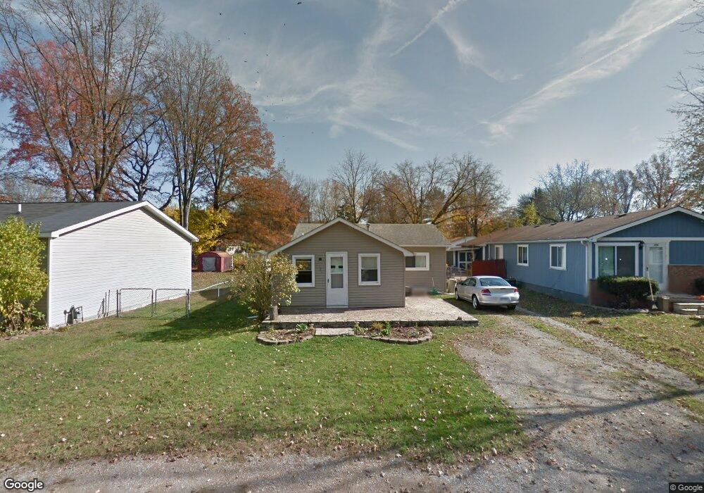
522 Edward St Algonac, MI 48001
Estimated Value: $152,000 - $182,000
3
Beds
1
Bath
1,140
Sq Ft
$147/Sq Ft
Est. Value
About This Home
This home is located at 522 Edward St, Algonac, MI 48001 and is currently estimated at $168,047, approximately $147 per square foot. 522 Edward St is a home located in St. Clair County.
Ownership History
Date
Name
Owned For
Owner Type
Purchase Details
Closed on
Feb 2, 2010
Sold by
Secretary Of Housing & Urban Development
Bought by
Gates Sherry C and Gates Medos L
Current Estimated Value
Home Financials for this Owner
Home Financials are based on the most recent Mortgage that was taken out on this home.
Original Mortgage
$25,759
Outstanding Balance
$17,125
Interest Rate
5.12%
Mortgage Type
FHA
Estimated Equity
$150,922
Purchase Details
Closed on
Nov 10, 2008
Sold by
Chase Home Finance Llc
Bought by
The Secretary Of Housing & Urban Develop
Purchase Details
Closed on
Apr 24, 2007
Sold by
Henry Crystal L
Bought by
Chase Home Finance Llc
Create a Home Valuation Report for This Property
The Home Valuation Report is an in-depth analysis detailing your home's value as well as a comparison with similar homes in the area
Home Values in the Area
Average Home Value in this Area
Purchase History
| Date | Buyer | Sale Price | Title Company |
|---|---|---|---|
| Gates Sherry C | $26,235 | Fidelity National Title | |
| The Secretary Of Housing & Urban Develop | -- | None Available | |
| Chase Home Finance Llc | $63,394 | None Available |
Source: Public Records
Mortgage History
| Date | Status | Borrower | Loan Amount |
|---|---|---|---|
| Open | Gates Sherry C | $25,759 |
Source: Public Records
Tax History
| Year | Tax Paid | Tax Assessment Tax Assessment Total Assessment is a certain percentage of the fair market value that is determined by local assessors to be the total taxable value of land and additions on the property. | Land | Improvement |
|---|---|---|---|---|
| 2025 | $686 | $62,900 | $0 | $0 |
| 2024 | $935 | $59,900 | $0 | $0 |
| 2023 | $858 | $50,000 | $0 | $0 |
| 2022 | $896 | $42,000 | $0 | $0 |
| 2020 | $866 | $32,000 | $5,000 | $27,000 |
| 2019 | $856 | $27,300 | $0 | $0 |
| 2018 | $843 | $20,400 | $0 | $0 |
| 2017 | $797 | $19,600 | $0 | $0 |
| 2016 | $745 | $19,600 | $0 | $0 |
| 2015 | -- | $18,400 | $5,000 | $13,400 |
| 2014 | -- | $16,300 | $5,000 | $11,300 |
| 2013 | -- | $16,300 | $0 | $0 |
Source: Public Records
Map
Nearby Homes
- 1103 Beth Ct
- 9642 Nook Rd Unit 7
- 710 Ruskin Ave
- 724 Townsend Dr
- 408 Conley St
- 429 Edgewater Dr
- 1523 Saint Clair River Dr
- 1609 Saint Clair River Dr
- 304 Kama Ct
- 3202 Fruit St
- 1516 Saint Clair River Dr
- 1713 Saint Clair River Dr
- 1719 Saint Clair River Dr
- 130 Delta Dr
- 00 Dickinson Island
- 1806 Michigan St
- 468 Russell Rd
- 114 Interlochen Dr
- 0 N Channel Dr Unit 50172349
- 9188 Marsh Rd
Your Personal Tour Guide
Ask me questions while you tour the home.