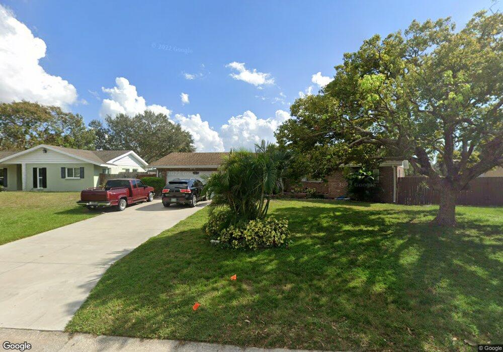
522 Saint Andrews Dr Sarasota, FL 34243
Estimated Value: $417,830 - $455,000
3
Beds
2
Baths
2,253
Sq Ft
$192/Sq Ft
Est. Value
About This Home
This home is located at 522 Saint Andrews Dr, Sarasota, FL 34243 and is currently estimated at $433,208, approximately $192 per square foot. 522 Saint Andrews Dr is a home located in Manatee County with nearby schools including Florine J. Abel Elementary School, Electa Lee Magnet Middle School, and Southeast High School.
Ownership History
Date
Name
Owned For
Owner Type
Purchase Details
Closed on
May 17, 2021
Sold by
Bose Wm M and Bose Barbara A
Bought by
Bose William M and Bose Barbara A
Current Estimated Value
Create a Home Valuation Report for This Property
The Home Valuation Report is an in-depth analysis detailing your home's value as well as a comparison with similar homes in the area
Home Values in the Area
Average Home Value in this Area
Purchase History
| Date | Buyer | Sale Price | Title Company |
|---|---|---|---|
| Bose William M | -- | None Available |
Source: Public Records
Tax History Compared to Growth
Tax History
| Year | Tax Paid | Tax Assessment Tax Assessment Total Assessment is a certain percentage of the fair market value that is determined by local assessors to be the total taxable value of land and additions on the property. | Land | Improvement |
|---|---|---|---|---|
| 2025 | $1,544 | $141,351 | -- | -- |
| 2024 | $1,544 | $137,367 | -- | -- |
| 2023 | $1,493 | $133,366 | $0 | $0 |
| 2022 | $1,431 | $129,482 | $0 | $0 |
| 2021 | $1,348 | $125,711 | $0 | $0 |
| 2020 | $1,376 | $123,975 | $0 | $0 |
| 2019 | $1,513 | $121,188 | $0 | $0 |
| 2018 | $1,486 | $118,928 | $0 | $0 |
| 2017 | $1,371 | $116,482 | $0 | $0 |
| 2016 | $1,357 | $114,086 | $0 | $0 |
| 2015 | $1,346 | $112,568 | $0 | $0 |
| 2014 | $1,346 | $111,675 | $0 | $0 |
| 2013 | $1,316 | $110,025 | $25,000 | $85,025 |
Source: Public Records
Map
Nearby Homes
- 530 Saint Andrews Dr
- 7222 Meadowbrook Dr
- 7205 Alderwood Dr
- 7304 Claries Dr
- 7213 Las Casas Dr Unit 18
- 7225 Willow St
- 813 Cypress Wood Ln
- 7019 8th Ct E
- 361 Whitfield Ave
- 344 Lantana Ave
- 911 Wee Burn Place
- 914 Plum Tree Ln
- 7303 Manatee St
- 608 69th Ave W
- 927 Byron Ln Unit 13-B
- 940 Byron Ct Unit 17
- 6811 6th St W
- 6860 Whitman Ct Unit 32B
- 0 Jungle Way
- 1052 Longfellow Cir
- 526 Saint Andrews Dr
- 518 Saint Andrews Dr
- 523 Mcarthur Ave
- 527 Mcarthur Ave
- 521 Saint Andrews Dr
- 514 Saint Andrews Dr
- 519 Mcarthur Ave
- 517 Saint Andrews Dr
- 601 Mcarthur Ave
- 525 Saint Andrews Dr
- 513 Saint Andrews Dr
- 510 Saint Andrews Dr
- 604 Saint Andrews Dr
- 513 Mcarthur Ave
- 603 Saint Andrews Dr
- 605 Mcarthur Ave
- 524 Mcarthur Ave
- 514 Chevy Chase Dr
- 520 Mcarthur Ave
- 518 Chevy Chase Dr