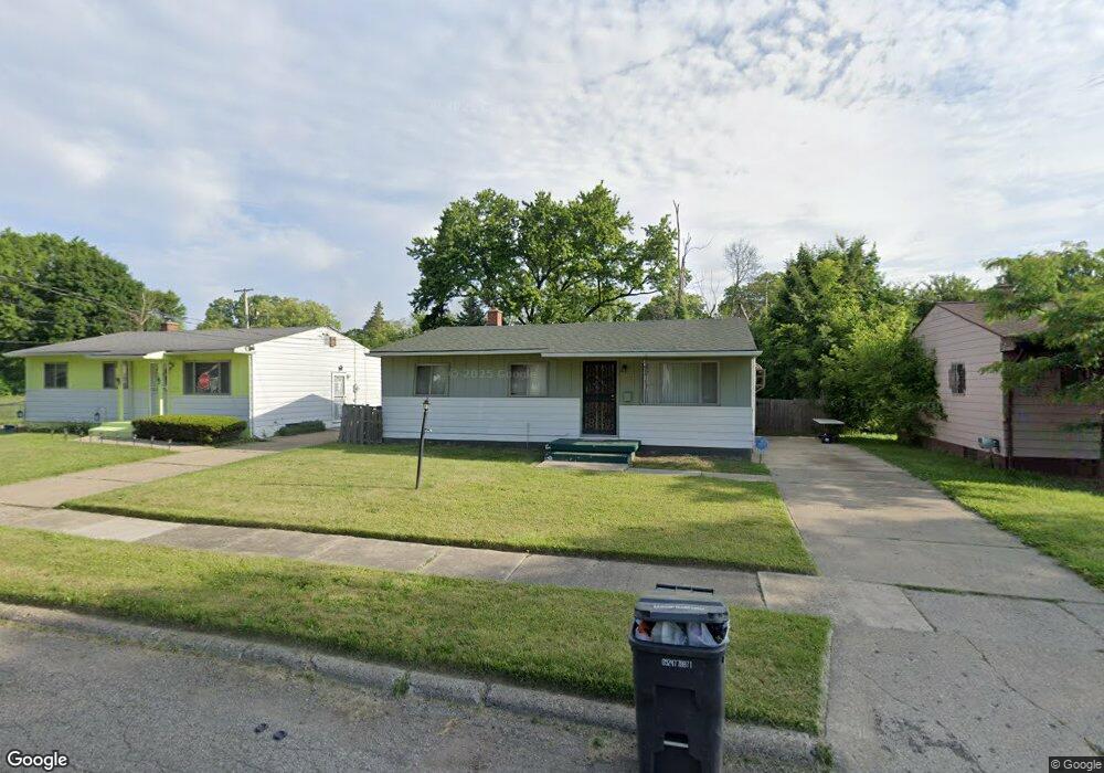
522 W Foss Ave Flint, MI 48505
MLK Circle NeighborhoodEstimated Value: $33,000 - $50,943
3
Beds
1
Bath
946
Sq Ft
$47/Sq Ft
Est. Value
About This Home
This home is located at 522 W Foss Ave, Flint, MI 48505 and is currently estimated at $44,236, approximately $46 per square foot. 522 W Foss Ave is a home located in Genesee County with nearby schools including Brownell STEM Academy, The New Standard Academy, and Eagle's Nest Academy.
Ownership History
Date
Name
Owned For
Owner Type
Purchase Details
Closed on
Apr 20, 2006
Sold by
Green Tree Servicing Llc
Bought by
Jones Kristopher D and Jones Charlet L
Current Estimated Value
Purchase Details
Closed on
Nov 30, 2005
Sold by
Boyles Chermaine D
Bought by
Green Tree Servicing Llc and Conseco Finance Servicing Corp
Create a Home Valuation Report for This Property
The Home Valuation Report is an in-depth analysis detailing your home's value as well as a comparison with similar homes in the area
Home Values in the Area
Average Home Value in this Area
Purchase History
| Date | Buyer | Sale Price | Title Company |
|---|---|---|---|
| Jones Kristopher D | $16,000 | First American Title Ins Co | |
| Green Tree Servicing Llc | $44,222 | None Available |
Source: Public Records
Tax History Compared to Growth
Tax History
| Year | Tax Paid | Tax Assessment Tax Assessment Total Assessment is a certain percentage of the fair market value that is determined by local assessors to be the total taxable value of land and additions on the property. | Land | Improvement |
|---|---|---|---|---|
| 2025 | $714 | $11,900 | $0 | $0 |
| 2024 | $671 | $9,400 | $0 | $0 |
| 2023 | $663 | $7,400 | $0 | $0 |
| 2022 | $0 | $5,700 | $0 | $0 |
| 2021 | $664 | $5,800 | $0 | $0 |
| 2020 | $622 | $5,400 | $0 | $0 |
| 2019 | $858 | $5,400 | $0 | $0 |
| 2018 | $640 | $6,000 | $0 | $0 |
| 2017 | $683 | $0 | $0 | $0 |
| 2016 | $710 | $0 | $0 | $0 |
| 2015 | -- | $0 | $0 | $0 |
| 2014 | -- | $0 | $0 | $0 |
| 2012 | -- | $9,600 | $0 | $0 |
Source: Public Records
Map
Nearby Homes
- 605 W Foss Ave
- 613 W Foss Ave
- 614 W Holbrook Ave
- 610 W Austin Ave
- 618 W Austin Ave
- 525 W Bundy Ave
- 6610 Cranwood Dr
- 6702 Cranwood Dr
- 405 W Bundy Ave
- 536 W Home Ave
- 1377 Knickerbocker Ave
- 1015 W Carpenter Rd
- 1499 W Juliah Ave
- 6902 Sally Ct
- 242 E Foss Ave
- 5714 Suburban Ct
- 225 E Piper Ave
- 6628 Orange Ln
- 5610 Baldwin Blvd
- 345 E Austin Ave
- 518 W Foss Ave
- 526 W Foss Ave
- 521 W Holbrook Ave
- 510 W Foss Ave
- 517 W Holbrook Ave
- 513 W Holbrook Ave
- 509 W Holbrook Ave
- 6510 College St
- 506 W Foss Ave
- 521 W Foss Ave
- 502 W Foss Ave
- 513 W Foss Ave
- 505 W Holbrook Ave
- 601 W Holbrook Ave
- 507 W Foss Ave
- 501 W Holbrook Ave
- 517 W Foss Ave
- 430 W Foss Ave
- 601 W Foss Ave
- 605 W Holbrook Ave