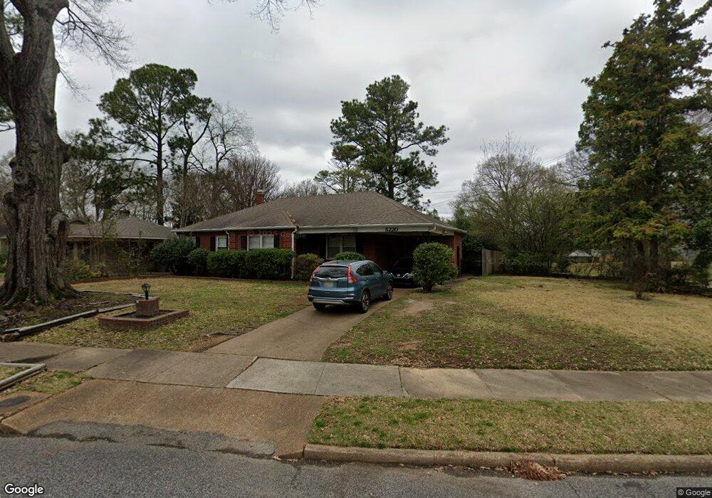
5220 Mason Rd Memphis, TN 38117
East Memphis NeighborhoodEstimated Value: $259,535 - $281,000
3
Beds
2
Baths
1,505
Sq Ft
$179/Sq Ft
Est. Value
About This Home
This home is located at 5220 Mason Rd, Memphis, TN 38117 and is currently estimated at $269,884, approximately $179 per square foot. 5220 Mason Rd is a home located in Shelby County with nearby schools including Richland Elementary School, White Station Middle, and White Station High.
Ownership History
Date
Name
Owned For
Owner Type
Purchase Details
Closed on
Feb 12, 2021
Sold by
Saha Bijoy K and Saha Anju
Bought by
Kirkland Michael D
Current Estimated Value
Home Financials for this Owner
Home Financials are based on the most recent Mortgage that was taken out on this home.
Original Mortgage
$146,250
Outstanding Balance
$130,805
Interest Rate
2.7%
Mortgage Type
New Conventional
Estimated Equity
$139,079
Create a Home Valuation Report for This Property
The Home Valuation Report is an in-depth analysis detailing your home's value as well as a comparison with similar homes in the area
Home Values in the Area
Average Home Value in this Area
Purchase History
| Date | Buyer | Sale Price | Title Company |
|---|---|---|---|
| Kirkland Michael D | $195,000 | Sure Title Company Llc |
Source: Public Records
Mortgage History
| Date | Status | Borrower | Loan Amount |
|---|---|---|---|
| Open | Kirkland Michael D | $146,250 |
Source: Public Records
Tax History
| Year | Tax Paid | Tax Assessment Tax Assessment Total Assessment is a certain percentage of the fair market value that is determined by local assessors to be the total taxable value of land and additions on the property. | Land | Improvement |
|---|---|---|---|---|
| 2025 | $2,006 | $63,500 | $11,950 | $51,550 |
| 2024 | $2,006 | $59,175 | $11,950 | $47,225 |
| 2023 | $3,605 | $59,175 | $11,950 | $47,225 |
| 2022 | $3,605 | $59,175 | $11,950 | $47,225 |
| 2021 | $2,042 | $59,175 | $11,950 | $47,225 |
| 2020 | $3,252 | $44,875 | $10,125 | $34,750 |
| 2019 | $1,434 | $44,875 | $10,125 | $34,750 |
| 2018 | $1,434 | $44,875 | $10,125 | $34,750 |
| 2017 | $1,468 | $44,875 | $10,125 | $34,750 |
| 2016 | $1,852 | $42,375 | $0 | $0 |
| 2014 | $1,852 | $42,375 | $0 | $0 |
Source: Public Records
Map
Nearby Homes
- 5219 Sequoia Rd
- 296 N White Station Rd
- 5163 Peg Ln
- 416 Rosser Rd
- 407 Meadvale Rd
- 258 N White Station Rd
- 446 Rosser Rd
- 5313 Chickasaw Rd
- 5110 Sequoia Rd
- 5312 Brenton Ave
- 226 N White Station Rd
- 379 Mcelroy Rd
- 5167 Tarrytown Dr
- 5151 Tarrytown Dr
- 5124 Princeton Rd
- 5382 Bentley Place
- 186 N White Station Rd
- 438 Mcelroy Rd
- 5137 Whitehall Ave
- 185 Betty jo Ln
- 5208 Mason Rd
- 5200 Mason Rd
- 361 N White Station Rd
- 5227 Mason Rd
- 5219 Mason Rd
- 5211 Mason Rd
- 5205 Mason Rd
- 5194 Mason Rd
- 360 N White Station Rd
- 5197 Mason Rd
- 369 N White Station Rd
- 5186 Mason Rd
- 331 N White Station Rd
- 5251 Mason Rd
- 5191 Mason Rd
- 5216 Peg Ln
- 5222 Peg Ln
- 5208 Peg Ln
- 377 N White Station Rd
- 5202 Peg Ln
Your Personal Tour Guide
Ask me questions while you tour the home.