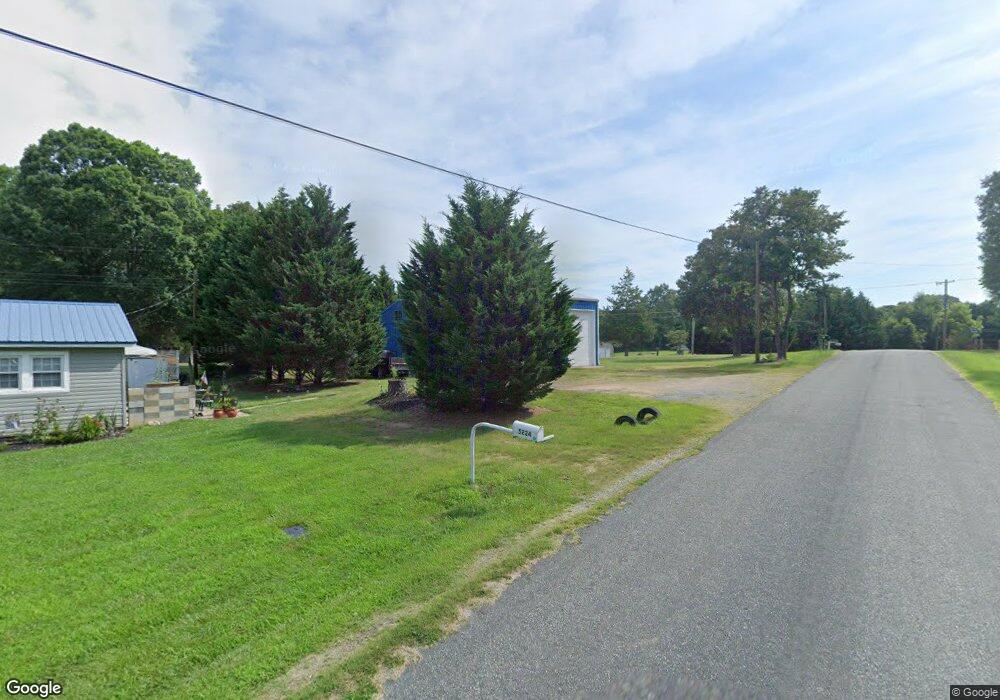
5220 Power Line St Kannapolis, NC 28081
Estimated Value: $145,000 - $282,000
2
Beds
1
Bath
672
Sq Ft
$315/Sq Ft
Est. Value
About This Home
This home is located at 5220 Power Line St, Kannapolis, NC 28081 and is currently estimated at $211,907, approximately $315 per square foot. 5220 Power Line St is a home located in Cabarrus County with nearby schools including Fred L. Wilson Elementary School, Kannapolis Middle, and A.L. Brown High School.
Ownership History
Date
Name
Owned For
Owner Type
Purchase Details
Closed on
Feb 14, 2013
Sold by
Underwood Jeffrey A
Bought by
Scharr Steven E and Scharr Michele M
Current Estimated Value
Purchase Details
Closed on
Dec 1, 1991
Purchase Details
Closed on
Jul 1, 1985
Purchase Details
Closed on
Jun 1, 1979
Create a Home Valuation Report for This Property
The Home Valuation Report is an in-depth analysis detailing your home's value as well as a comparison with similar homes in the area
Home Values in the Area
Average Home Value in this Area
Purchase History
| Date | Buyer | Sale Price | Title Company |
|---|---|---|---|
| Scharr Steven E | $52,000 | None Available | |
| -- | -- | -- | |
| -- | $34,000 | -- | |
| -- | $19,500 | -- |
Source: Public Records
Tax History Compared to Growth
Tax History
| Year | Tax Paid | Tax Assessment Tax Assessment Total Assessment is a certain percentage of the fair market value that is determined by local assessors to be the total taxable value of land and additions on the property. | Land | Improvement |
|---|---|---|---|---|
| 2025 | $1,282 | $189,690 | $90,000 | $99,690 |
| 2024 | $1,282 | $189,690 | $90,000 | $99,690 |
| 2023 | $994 | $118,340 | $58,500 | $59,840 |
| 2022 | $1,023 | $121,790 | $58,500 | $63,290 |
| 2021 | $1,023 | $121,790 | $58,500 | $63,290 |
| 2020 | $1,023 | $121,790 | $58,500 | $63,290 |
| 2019 | $770 | $91,710 | $39,000 | $52,710 |
| 2018 | $752 | $91,710 | $39,000 | $52,710 |
| 2017 | $715 | $91,710 | $39,000 | $52,710 |
| 2016 | $674 | $97,220 | $45,000 | $52,220 |
| 2015 | $715 | $97,220 | $45,000 | $52,220 |
| 2014 | $715 | $97,220 | $45,000 | $52,220 |
Source: Public Records
Map
Nearby Homes
- 5057 Bahama Dr
- 6124 Avalon Dr
- 0 Ridgecrest Dr
- 1734 Shadowbrook Dr
- 115 Northcrest Dr
- 6840 N Turner Dr
- 110 Tanglewood Dr
- 117 S Enochville Ave
- 6017 Pagemont Rd
- 6231 Kentwood Dr
- 1895 Normandy Rd
- 5461 S Oakmont St
- 5453 S Oakmont St
- 110 White Ave
- 206 Winona Ave
- 4648 Nob Hill Dr
- 5445 Mooresville Rd
- 1530 Buffalo St
- 0 Enochville Ave Unit CAR4275012
- 4820 Mooresville Rd
- 5266 Woodside St
- 5225 Power Line St
- 5260 Woodside St
- 5245 Power Line St
- 5284 Woodside St
- 5201 Power Line St
- 6236 Silas Ave
- 5300 Power Line St
- 5303 Woodside St
- 5250 Woodside St
- 6239 Sardis Ave
- 5290 Woodside St
- 5141 Woodside St
- 5309 Power Line St
- 6212 Silas Ave
- 6245 Silas Ave
- 5308 Power Line St
- 5300 Woodside St
- 5132 Woodside St
- 6248 Charlie Walker Rd
