5220 Upper Applegate Rd Jacksonville, OR 97530
Estimated Value: $640,000 - $811,000
2
Beds
4
Baths
2,244
Sq Ft
$312/Sq Ft
Est. Value
About This Home
This home is located at 5220 Upper Applegate Rd, Jacksonville, OR 97530 and is currently estimated at $700,708, approximately $312 per square foot. 5220 Upper Applegate Rd is a home located in Jackson County with nearby schools including Ruch Outdoor Community School K-8, McLoughlin Middle School, and South Medford High School.
Ownership History
Date
Name
Owned For
Owner Type
Purchase Details
Closed on
Jun 3, 2004
Sold by
Tedrick Thomas Washington and Tedrick Margot
Bought by
Pohlmann Brad and Pohlmann Berniece
Current Estimated Value
Home Financials for this Owner
Home Financials are based on the most recent Mortgage that was taken out on this home.
Original Mortgage
$245,000
Interest Rate
5.92%
Mortgage Type
Seller Take Back
Create a Home Valuation Report for This Property
The Home Valuation Report is an in-depth analysis detailing your home's value as well as a comparison with similar homes in the area
Purchase History
| Date | Buyer | Sale Price | Title Company |
|---|---|---|---|
| Pohlmann Brad | $545,000 | Amerititle |
Source: Public Records
Mortgage History
| Date | Status | Borrower | Loan Amount |
|---|---|---|---|
| Closed | Pohlmann Brad | $245,000 |
Source: Public Records
Tax History
| Year | Tax Paid | Tax Assessment Tax Assessment Total Assessment is a certain percentage of the fair market value that is determined by local assessors to be the total taxable value of land and additions on the property. | Land | Improvement |
|---|---|---|---|---|
| 2026 | $3,600 | $265,029 | -- | -- |
| 2025 | $3,522 | $290,110 | $14,670 | $275,440 |
| 2024 | $3,522 | $281,783 | $14,363 | $267,420 |
| 2023 | $3,362 | $273,695 | $14,065 | $259,630 |
| 2022 | $3,286 | $273,695 | $14,065 | $259,630 |
| 2021 | $3,207 | $265,848 | $13,768 | $252,080 |
| 2020 | $3,135 | $258,230 | $13,480 | $244,750 |
| 2019 | $3,067 | $243,646 | $12,936 | $230,710 |
| 2018 | $2,963 | $236,670 | $12,680 | $223,990 |
| 2017 | $2,919 | $236,670 | $12,680 | $223,990 |
| 2016 | $2,868 | $223,317 | $12,177 | $211,140 |
| 2015 | $2,778 | $223,317 | $12,177 | $211,140 |
| 2014 | $2,742 | $210,735 | $11,705 | $199,030 |
Source: Public Records
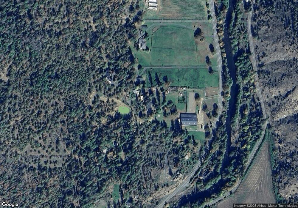
Map
Nearby Homes
- 0 Dog Fork Rd Unit 220213091
- 0 R Fork Forest Creek Rd Unit 11555343
- 7813 Upper Applegate Rd
- 2389 Upper Applegate Rd
- 3356 Little Applegate Rd
- 3361 Little Applegate Rd
- 3950 Little Applegate Rd
- 8060 Upper Applegate Rd
- 1979 Upper Applegate Rd
- 10376 Sterling Creek Rd
- 10250 Sterling Creek Rd
- 9511 Sterling Creek Rd
- 75 Anna Laura Rd
- 939 Beaver Creek Rd
- 588 Upper Applegate Rd
- 324 China Gulch Rd
- 9395 Highway 238
- 6585 Little Applegate Rd
- 1584 Yale Creek Rd
- 7537 Sterling Creek Rd
- 5240 Upper Applegate Rd
- 5240 Upper Applegate Rd
- 5343 Upper Applegate Rd
- 4866 Upper Applegate Rd
- 5250 Upper Applegate Rd
- 5100 Upper Applegate Rd
- 5900 Upper Applegate Rd
- 781 Eastside Rd
- 216 Eastside Rd
- 5994 Upper Applegate Rd
- 4748 Upper Applegate Rd
- 196 Eastside Rd
- 4854 Upper Applegate Rd
- 154 Eastside Rd
- 6000 Upper Applegate Rd
- 114 Eastside Rd
- 4734 Upper Applegate Rd
- 0 Humbug Creek Rd Unit 102601019
- 0 Humbug Creek Rd Unit 100200153
- 0 Humbug Creek Rd Unit 100201432
Your Personal Tour Guide
Ask me questions while you tour the home.